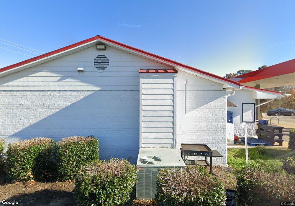
3400 N Main St Fuquay-Varina, NC 27526
Estimated Value: $1,126,033
--
Bed
--
Bath
3,090
Sq Ft
$364/Sq Ft
Est. Value
About This Home
This home is located at 3400 N Main St, Fuquay-Varina, NC 27526 and is currently estimated at $1,126,033, approximately $364 per square foot. 3400 N Main St is a home located in Wake County with nearby schools including Banks Road Elementary School and West Lake Middle.
Ownership History
Date
Name
Owned For
Owner Type
Purchase Details
Closed on
Jan 23, 2018
Sold by
Blue Plate Llc
Bought by
Aem Properties Llc
Current Estimated Value
Purchase Details
Closed on
Jun 30, 2014
Sold by
Lunsford Howard Dillon
Bought by
Blue Plate Llc
Purchase Details
Closed on
Apr 29, 2011
Sold by
Lunsford Geraldine
Bought by
Lunsford Howard Dillon
Purchase Details
Closed on
Sep 23, 2010
Sold by
Lunsford Geraldine and Lunsford Howard Dillon
Bought by
Lunsford Geraldine P
Create a Home Valuation Report for This Property
The Home Valuation Report is an in-depth analysis detailing your home's value as well as a comparison with similar homes in the area
Home Values in the Area
Average Home Value in this Area
Purchase History
| Date | Buyer | Sale Price | Title Company |
|---|---|---|---|
| Aem Properties Llc | $625,000 | None Available | |
| Blue Plate Llc | -- | None Available | |
| Lunsford Howard Dillon | -- | None Available | |
| Lunsford Geraldine P | -- | None Available |
Source: Public Records
Tax History Compared to Growth
Tax History
| Year | Tax Paid | Tax Assessment Tax Assessment Total Assessment is a certain percentage of the fair market value that is determined by local assessors to be the total taxable value of land and additions on the property. | Land | Improvement |
|---|---|---|---|---|
| 2025 | $9,141 | $1,044,539 | $462,374 | $582,165 |
| 2024 | $9,103 | $1,044,539 | $462,374 | $582,165 |
| 2023 | $8,272 | $743,863 | $216,496 | $527,367 |
| 2022 | $7,770 | $743,863 | $216,496 | $527,367 |
| 2021 | $7,401 | $743,863 | $216,496 | $527,367 |
| 2020 | $7,401 | $743,863 | $216,496 | $527,367 |
| 2019 | $7,888 | $684,032 | $237,156 | $446,876 |
| 2018 | $7,435 | $684,032 | $237,156 | $446,876 |
| 2017 | $7,165 | $684,032 | $237,156 | $446,876 |
| 2016 | $7,066 | $684,032 | $237,156 | $446,876 |
| 2015 | $6,790 | $679,319 | $128,042 | $551,277 |
Source: Public Records
Map
Nearby Homes
- 1601 Malcus Ct Unit 65
- 2417 Ridgeford Ct
- 4225 Hilltop Needmore Rd
- 4229 Hilltop Needmore Rd
- 4700 Linaria Ln
- 3324 Air Park Rd
- 5417 Willow Bridge Ln
- 4313 Darius Ln
- 1504 Malcus Ct Unit 52
- 4313 Darius Ln Unit 25
- 5401 Greensflag Ln
- Macon Plan at Rowland's Grant
- Knox Plan at Rowland's Grant
- Leland Plan at Rowland's Grant
- Jordan Plan at Rowland's Grant
- Camden Plan at Rowland's Grant
- Finley Plan at Rowland's Grant
- Alexis Plan at Rowland's Grant
- Madison Plan at Rowland's Grant
- 4306 Emeline Way
- 5505 Hilltop Rd
- 3817 Air Park Rd
- 5509 Hilltop Rd
- 5513 Hilltop Rd
- 5532 Hilltop Rd
- 3812 Air Park Rd
- 3809 Air Park Rd
- 3224 N Main St
- 5521 Hilltop Rd
- 5525 Hilltop Rd
- 2329 Brasswynd Ct
- 3908 Hilltop Needmore Rd
- 2328 Brasswynd Ct
- 10616 Fayetteville Rd
- 10308 Fayetteville Rd
- 2328 Buckstone Ct
- 3804 Air Park Rd
- 2325 Brasswynd Ct
- 5529 Hilltop Rd
- 3912 Hilltop Needmore Rd