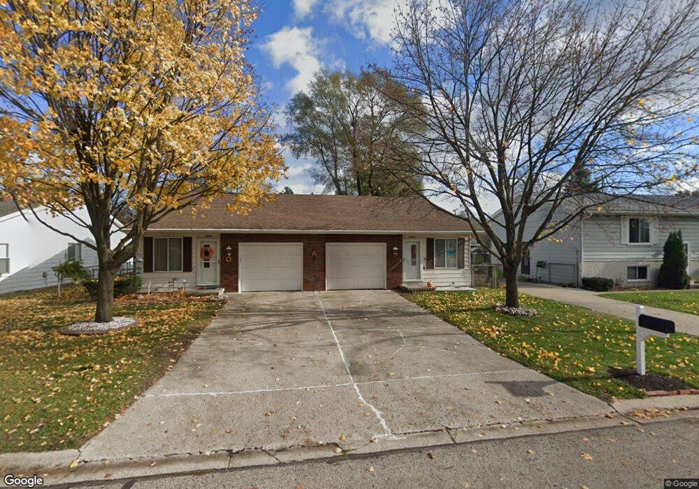
3402 Shenandoah Ave Unit 3404 Port Huron, MI 48060
Estimated Value: $222,305 - $334,000
--
Bed
--
Bath
1,840
Sq Ft
$140/Sq Ft
Est. Value
About This Home
This home is located at 3402 Shenandoah Ave Unit 3404, Port Huron, MI 48060 and is currently estimated at $258,076, approximately $140 per square foot. 3402 Shenandoah Ave Unit 3404 is a home located in St. Clair County with nearby schools including Garfield Elementary School, Holland Woods Middle School, and Port Huron Northern High School.
Ownership History
Date
Name
Owned For
Owner Type
Purchase Details
Closed on
Nov 19, 2025
Sold by
Merchant Farouk and Farouk S Merchant Living Trust
Bought by
Phil & Glenn Investments Ii Llc
Current Estimated Value
Purchase Details
Closed on
Jan 14, 2019
Sold by
Moody Glen M and Revocab Mildred
Bought by
Merchant Farouk and Merchant Sakina
Purchase Details
Closed on
Jul 19, 2018
Sold by
Merchant Farouk S and Merchant Sakina F
Bought by
Farouk S Merchant Living Trust
Purchase Details
Closed on
Jul 18, 2018
Sold by
Moody Glenn M and Moody Mildred M
Bought by
Merchant Farouk and Merchant Sakina
Purchase Details
Closed on
Sep 28, 2007
Sold by
Moody Glen M and Moody Mildred M
Bought by
Moody Glen M and Moody Mildred M
Create a Home Valuation Report for This Property
The Home Valuation Report is an in-depth analysis detailing your home's value as well as a comparison with similar homes in the area
Home Values in the Area
Average Home Value in this Area
Purchase History
| Date | Buyer | Sale Price | Title Company |
|---|---|---|---|
| Phil & Glenn Investments Ii Llc | $270,000 | None Listed On Document | |
| Merchant Farouk | -- | None Listed On Document | |
| Farouk S Merchant Living Trust | -- | Transnation Title | |
| Merchant Farouk | $131,000 | None Listed On Document | |
| Moody Glen M | -- | None Available |
Source: Public Records
Tax History Compared to Growth
Tax History
| Year | Tax Paid | Tax Assessment Tax Assessment Total Assessment is a certain percentage of the fair market value that is determined by local assessors to be the total taxable value of land and additions on the property. | Land | Improvement |
|---|---|---|---|---|
| 2025 | $3,443 | $102,700 | $0 | $0 |
| 2024 | $3,085 | $95,100 | $0 | $0 |
| 2023 | $2,922 | $84,300 | $0 | $0 |
| 2022 | $2,997 | $74,900 | $0 | $0 |
| 2021 | $2,861 | $70,200 | $0 | $0 |
| 2020 | $2,873 | $67,500 | $67,500 | $0 |
| 2019 | $2,821 | $58,900 | $0 | $0 |
| 2018 | $2,757 | $58,900 | $0 | $0 |
| 2017 | $2,530 | $53,900 | $0 | $0 |
| 2016 | $2,264 | $53,900 | $0 | $0 |
| 2015 | $2,221 | $47,900 | $47,900 | $0 |
| 2014 | $2,221 | $43,800 | $43,800 | $0 |
| 2013 | -- | $40,600 | $0 | $0 |
Source: Public Records
Map
Nearby Homes
- 1424 Hazelwood Ln
- 3505 Shenandoah Ave
- 3214 Poplar St
- 3321 Stone St
- 1020 Sanborn St
- 2925 Linda Ct
- 1828 Kennelworth Dr
- 3455 Gratiot Ave
- 1202 Palmer Ct
- 2913 11th Ave
- 3444 Riverside Dr
- 1531 Robinson St
- 3208 Mount Vernon Rd
- 3419 Riverside Dr
- 3850 Butternut Ct
- 2736 17th Ave
- 2812 19th Ave
- 1116 Hancock St
- 2857 Riverside Dr
- 2215 Hancock St
- 3402 Shenandoah Ave
- 3406 Shenandoah Ave
- 1423 Coventry Ln
- 3400 Shenandoah Ave
- 3410 Shenandoah Ave Unit 3412
- 3414 Shenandoah Ave Unit 3416
- 1426 Devonshire Ln
- 3338 Shenandoah Ave Unit 3340
- 3407 10th Ave
- 3415 10th Ave
- 1433 Coventry Ln
- 1424 Coventry Ln
- 1435 Coventry Ln
- 3411 10th Ave
- 1430 Coventry Ln
- 1432 Devonshire Ln
- 3420 Shenandoah Ave Unit 3422
- 1436 Devonshire Ln
- 1436 Coventry Ln
- 3314 Shenandoah Ave