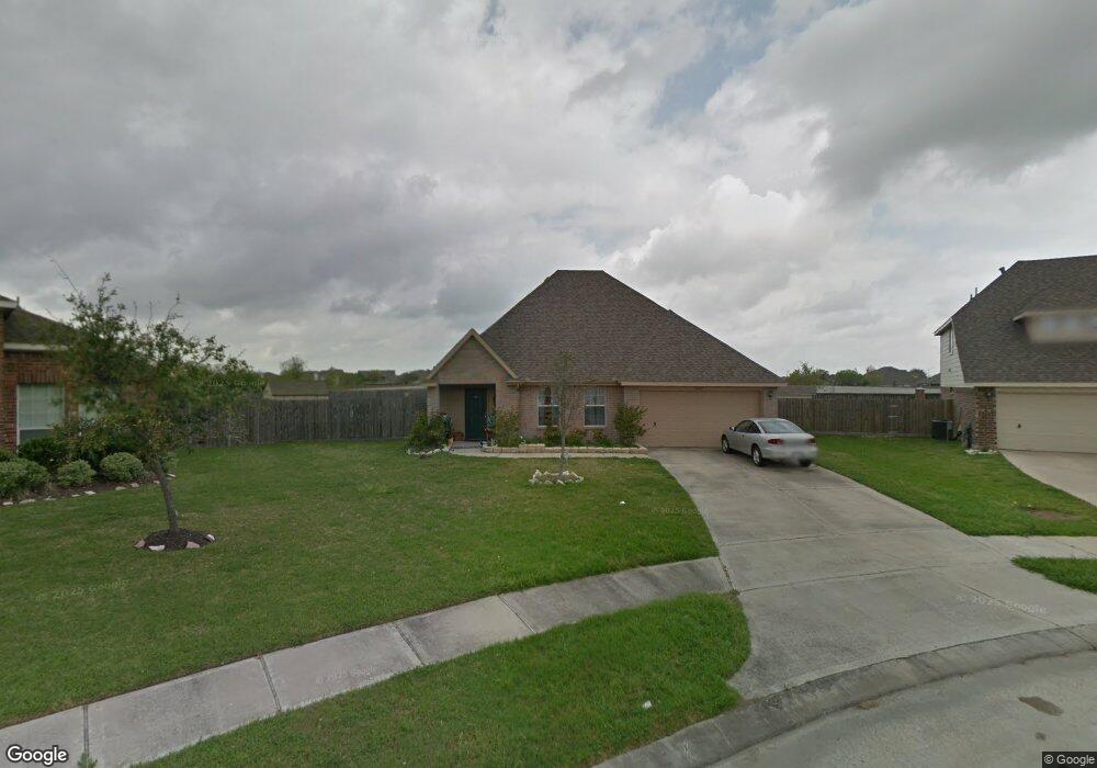
3402 Tweed Way Pearland, TX 77584
Estimated Value: $324,115 - $330,000
--
Bed
1
Bath
2,042
Sq Ft
$160/Sq Ft
Est. Value
About This Home
This home is located at 3402 Tweed Way, Pearland, TX 77584 and is currently estimated at $326,029, approximately $159 per square foot. 3402 Tweed Way is a home located in Brazoria County with nearby schools including Massey Ranch Elementary School, Sam Jamison Middle School, and Pearland Junior High School South.
Ownership History
Date
Name
Owned For
Owner Type
Purchase Details
Closed on
Mar 17, 2005
Sold by
K Hovnanian Of Houston Ii Lp
Bought by
Lane Robby Gene and Lane Beth Mc Kinney
Current Estimated Value
Home Financials for this Owner
Home Financials are based on the most recent Mortgage that was taken out on this home.
Original Mortgage
$169,287
Outstanding Balance
$86,165
Interest Rate
5.67%
Mortgage Type
Purchase Money Mortgage
Estimated Equity
$239,864
Create a Home Valuation Report for This Property
The Home Valuation Report is an in-depth analysis detailing your home's value as well as a comparison with similar homes in the area
Home Values in the Area
Average Home Value in this Area
Purchase History
| Date | Buyer | Sale Price | Title Company |
|---|---|---|---|
| Lane Robby Gene | -- | Alamo Title Company |
Source: Public Records
Mortgage History
| Date | Status | Borrower | Loan Amount |
|---|---|---|---|
| Open | Lane Robby Gene | $169,287 |
Source: Public Records
Tax History Compared to Growth
Tax History
| Year | Tax Paid | Tax Assessment Tax Assessment Total Assessment is a certain percentage of the fair market value that is determined by local assessors to be the total taxable value of land and additions on the property. | Land | Improvement |
|---|---|---|---|---|
| 2025 | $4,760 | $316,330 | $56,870 | $259,460 |
| 2023 | $4,760 | $291,532 | $51,700 | $281,830 |
| 2022 | $7,091 | $265,029 | $37,160 | $259,810 |
| 2021 | $6,955 | $244,200 | $32,310 | $211,890 |
| 2020 | $6,676 | $219,300 | $32,310 | $186,990 |
| 2019 | $6,090 | $199,120 | $32,310 | $166,810 |
| 2018 | $6,087 | $199,120 | $32,310 | $166,810 |
| 2017 | $5,594 | $180,430 | $32,310 | $148,120 |
| 2016 | $5,594 | $180,430 | $32,310 | $148,120 |
| 2014 | $4,590 | $153,090 | $32,310 | $120,780 |
Source: Public Records
Map
Nearby Homes
- 3510 Dorsey Ln
- 6407 Hillock Ln
- 6112 Tomorrow Cir
- 6301 Larrycrest Dr
- 3610 Kale St
- 3237 Harkey Rd
- 3114 Autumn Ct
- 6406 Patridge Dr
- 6706 Paigetree Ln
- 6504 Patridge Dr
- 6108 Jordan Dr
- 3149 Harkey Rd
- 6204 Raintree Dr
- 6806 Adella Ct
- 3506 Windmill Palm Dr
- 3902 Bluebird Way
- 7123 Elgin St
- 3730 Aubrell Rd
- 3902 Basil Ct
- 7333 Fite Rd
- 6303 Ozark Trail
- 3404 Tweed Way
- 6301 Ozark Trail
- 6304 Ozark Trail
- 3406 Tweed Way
- 6302 Ozark Trail
- 3408 Tweed Way
- 6303 Summit Dr
- 6204 Ozark Trail
- 6301 Summit Dr
- 6207 Ozark Trail
- 3410 Tweed Way
- 6203 Summit Dr
- 6205 Ozark Trail
- 6202 Ozark Trail
- 6201 Summit Dr
- 6203 Ozark Trail
- 6201 Ozark Trail
- 3428 Dorsey Ln
- 3426 Dorsey Ln