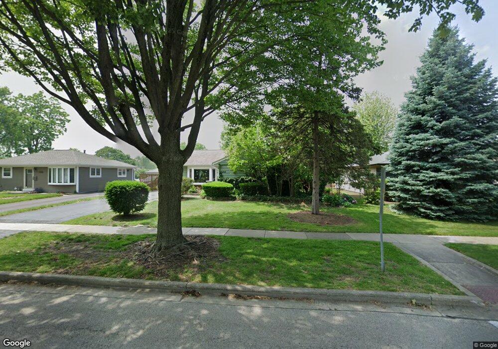
3403 Pheasant Dr Rolling Meadows, IL 60008
Estimated Value: $377,588 - $421,000
4
Beds
2
Baths
1,630
Sq Ft
$241/Sq Ft
Est. Value
About This Home
This home is located at 3403 Pheasant Dr, Rolling Meadows, IL 60008 and is currently estimated at $393,147, approximately $241 per square foot. 3403 Pheasant Dr is a home located in Cook County with nearby schools including Kimball Hill Elementary School, Carl Sandburg Junior High School, and Rolling Meadows High School.
Ownership History
Date
Name
Owned For
Owner Type
Purchase Details
Closed on
Oct 4, 2018
Sold by
Chicago Title Land Trust Co
Bought by
Smith Lema C and Lemma C Smith Trust
Current Estimated Value
Purchase Details
Closed on
May 12, 1997
Sold by
Smith Ingrid G and Smith Lemma C
Bought by
Harris Bank Palatine and Trust #6812
Create a Home Valuation Report for This Property
The Home Valuation Report is an in-depth analysis detailing your home's value as well as a comparison with similar homes in the area
Home Values in the Area
Average Home Value in this Area
Purchase History
| Date | Buyer | Sale Price | Title Company |
|---|---|---|---|
| Smith Lema C | -- | Chicago Title Land Trust Com | |
| Harris Bank Palatine | -- | -- |
Source: Public Records
Tax History
| Year | Tax Paid | Tax Assessment Tax Assessment Total Assessment is a certain percentage of the fair market value that is determined by local assessors to be the total taxable value of land and additions on the property. | Land | Improvement |
|---|---|---|---|---|
| 2025 | $6,446 | $33,000 | $5,850 | $27,150 |
| 2024 | $6,446 | $27,000 | $4,950 | $22,050 |
| 2023 | $6,118 | $27,000 | $4,950 | $22,050 |
| 2022 | $6,118 | $27,000 | $4,950 | $22,050 |
| 2021 | $4,917 | $20,841 | $2,925 | $17,916 |
| 2020 | $4,934 | $20,841 | $2,925 | $17,916 |
| 2019 | $4,979 | $23,287 | $2,925 | $20,362 |
| 2018 | $5,735 | $23,890 | $2,700 | $21,190 |
| 2017 | $5,653 | $23,890 | $2,700 | $21,190 |
| 2016 | $5,796 | $23,890 | $2,700 | $21,190 |
| 2015 | $4,906 | $20,079 | $2,475 | $17,604 |
| 2014 | $4,818 | $20,079 | $2,475 | $17,604 |
| 2013 | $4,671 | $20,079 | $2,475 | $17,604 |
Source: Public Records
Map
Nearby Homes
- 3200 Thrush Ln
- 3135 Town Square Dr Unit 401
- 3135 Town Square Dr Unit 104
- 3345 Kirchoff Rd Unit 5C
- 3265 Kirchoff Rd Unit 116
- 3100 Town Square Dr Unit 308
- 3100 Town Square Dr Unit 204
- 3306 Trillium Cir Unit 3001
- 3209 Trillium Cir
- 2709 Lily Ln
- 3710 Meadow Dr
- 399 Knollwood Ct
- 2705 Park St
- 3712 Jay Ln
- 3605 Oriole Ln
- 3 Holyoke on Auburn
- 2201 Kingfisher Ln
- 2302 Fulle St
- 2600 Brookwood Way Dr Unit 316
- 2600 Brookwood Way Dr Unit 305
- 3401 Pheasant Dr
- 3405 Pheasant Dr
- 3311 Pheasant Dr
- 3309 Pheasant Dr
- 3205 Swallow Ln
- 3409 Pheasant Dr
- 3404 Pheasant Dr
- 3204 Swallow Ln
- 3307 Pheasant Dr
- 3411 Pheasant Dr
- 3406 Pheasant Dr
- 3203 Swallow Ln
- 3306 Pheasant Dr
- 3305 Pheasant Dr
- 3501 Pheasant Dr
- 3204 Thrush Ln
- 3304 Pheasant Dr
- 3202 Swallow Ln
- 3201 Swallow Ln
- 3303 Pheasant Dr
Your Personal Tour Guide
Ask me questions while you tour the home.