34036 Grouse Ln Evergreen, CO 80439
Shadow Mountain NeighborhoodEstimated Value: $624,000 - $791,000
3
Beds
3
Baths
1,220
Sq Ft
$578/Sq Ft
Est. Value
About This Home
This home is located at 34036 Grouse Ln, Evergreen, CO 80439 and is currently estimated at $705,283, approximately $578 per square foot. 34036 Grouse Ln is a home located in Jefferson County with nearby schools including Wilmot Elementary School, Evergreen Middle School, and Evergreen High School.
Ownership History
Date
Name
Owned For
Owner Type
Purchase Details
Closed on
Apr 30, 2002
Sold by
Hannah Anne M
Bought by
Gholson Andrew G and Gholson Elizabeth A
Current Estimated Value
Home Financials for this Owner
Home Financials are based on the most recent Mortgage that was taken out on this home.
Original Mortgage
$190,000
Outstanding Balance
$81,695
Interest Rate
7.19%
Estimated Equity
$623,588
Purchase Details
Closed on
Nov 26, 1996
Sold by
Hannah Robert G
Bought by
Hannah Anne M
Create a Home Valuation Report for This Property
The Home Valuation Report is an in-depth analysis detailing your home's value as well as a comparison with similar homes in the area
Home Values in the Area
Average Home Value in this Area
Purchase History
| Date | Buyer | Sale Price | Title Company |
|---|---|---|---|
| Gholson Andrew G | $242,000 | Colorado National Title | |
| Hannah Anne M | -- | -- |
Source: Public Records
Mortgage History
| Date | Status | Borrower | Loan Amount |
|---|---|---|---|
| Open | Gholson Andrew G | $190,000 |
Source: Public Records
Tax History
| Year | Tax Paid | Tax Assessment Tax Assessment Total Assessment is a certain percentage of the fair market value that is determined by local assessors to be the total taxable value of land and additions on the property. | Land | Improvement |
|---|---|---|---|---|
| 2024 | $3,814 | $41,586 | $10,618 | $30,968 |
| 2023 | $3,814 | $41,586 | $10,618 | $30,968 |
| 2022 | $3,208 | $33,960 | $5,975 | $27,985 |
| 2021 | $3,241 | $34,936 | $6,146 | $28,790 |
| 2020 | $2,904 | $31,057 | $4,761 | $26,296 |
| 2019 | $2,863 | $31,057 | $4,761 | $26,296 |
| 2018 | $2,728 | $28,616 | $5,383 | $23,233 |
| 2017 | $2,484 | $28,616 | $5,383 | $23,233 |
| 2016 | $2,442 | $26,294 | $6,362 | $19,932 |
| 2015 | $2,159 | $26,294 | $6,362 | $19,932 |
| 2014 | $2,159 | $22,553 | $6,530 | $16,023 |
Source: Public Records
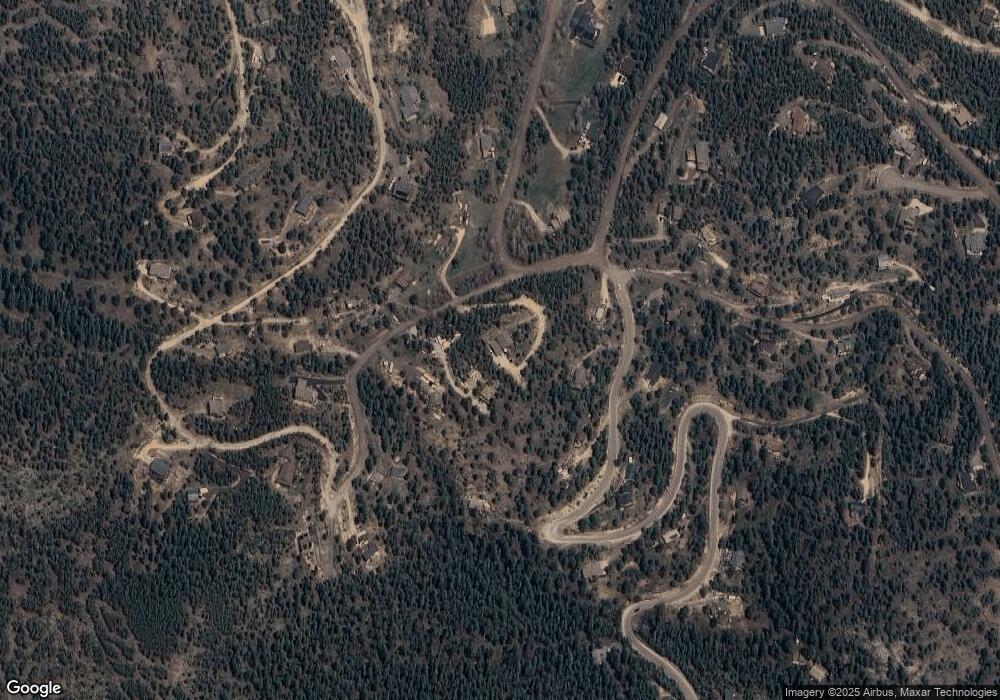
Map
Nearby Homes
- 7041 Brook Forest Dr
- 34155 Grouse Ln
- 6884 Woodchuck Way
- 7051 Ski Trail
- 6997 Skunk Aly
- 33131 Lynx Ln
- 0 Timber Ridge Rd
- 32553 Lodgepole Cir
- 32857 Little Cub Rd
- 32764 Lodgepole Cir
- 32783 Lodgepole Cir
- 32392 Lodgepole Dr
- 32209 Blue Springs Dr
- 240 Deer Rd
- 31634 Ponderosa Way
- 31653 Ponderosa Way
- 0 Ute Trail Unit REC9828385
- 6249 Shasta Ln
- 100 Apache Rd
- 508 Paiute Rd
- 34076 Grouse Ln
- 7061 Brook Forest Dr
- 34035 Grouse Ln
- 34116 Grouse Ln
- 6940 Brook Forest Dr
- 7111 Brook Forest Dr
- 34115 Grouse Ln
- 7060 Brook Forest Dr
- 6974 Woodchuck Way
- 34158 Grouse Ln
- 7040 Brook Forest Dr
- 6921 Brook Forest Dr
- 33793 Elk Run
- 7121 Brook Forest Dr Unit 2
- 6910 Brook Forest Dr
- 7110 Brook Forest Dr
- 7044 Woodchuck Way
- 34125 Grouse Ln
- 33773 Elk Run
- 7115 Brook Forest Dr
Your Personal Tour Guide
Ask me questions while you tour the home.