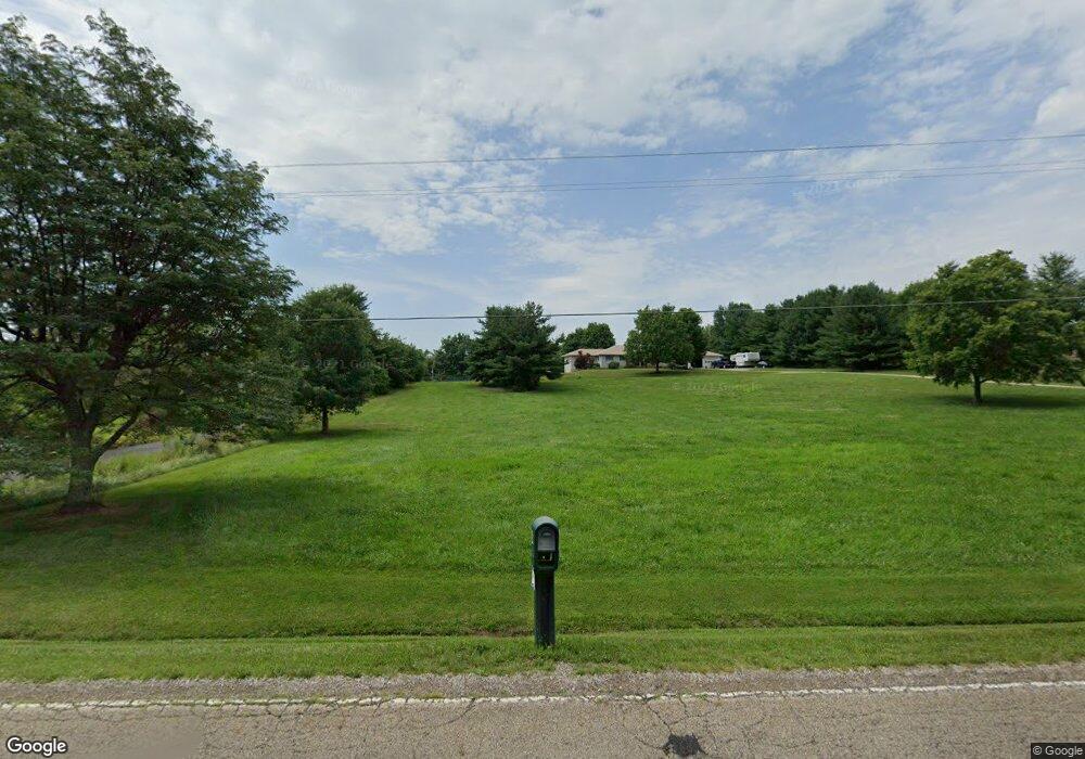
3404 Blacks Rd SW Hebron, OH 43025
Union NeighborhoodEstimated Value: $586,000 - $730,583
4
Beds
3
Baths
3,205
Sq Ft
$210/Sq Ft
Est. Value
About This Home
This home is located at 3404 Blacks Rd SW, Hebron, OH 43025 and is currently estimated at $672,396, approximately $209 per square foot. 3404 Blacks Rd SW is a home located in Licking County with nearby schools including Kirkersville Elementary School, Etna Elementary School, and Watkins Middle School.
Ownership History
Date
Name
Owned For
Owner Type
Purchase Details
Closed on
Nov 25, 2024
Sold by
Buena Richard E and Buena Mary E
Bought by
Buena Family Revocable Living Trust and Buena
Current Estimated Value
Purchase Details
Closed on
Nov 9, 2006
Sold by
Casto Michael J and Casto Rhonda D
Bought by
Buena Richard E and Buena Mary E
Purchase Details
Closed on
May 9, 2006
Sold by
Casto Michael J and Casto Rhonda D
Bought by
Casto Rhonda D
Create a Home Valuation Report for This Property
The Home Valuation Report is an in-depth analysis detailing your home's value as well as a comparison with similar homes in the area
Home Values in the Area
Average Home Value in this Area
Purchase History
| Date | Buyer | Sale Price | Title Company |
|---|---|---|---|
| Buena Family Revocable Living Trust | -- | None Listed On Document | |
| Buena Family Revocable Living Trust | -- | None Listed On Document | |
| Buena Richard E | $425,000 | Chicago | |
| Casto Rhonda D | -- | None Available |
Source: Public Records
Tax History Compared to Growth
Tax History
| Year | Tax Paid | Tax Assessment Tax Assessment Total Assessment is a certain percentage of the fair market value that is determined by local assessors to be the total taxable value of land and additions on the property. | Land | Improvement |
|---|---|---|---|---|
| 2024 | $8,744 | $218,610 | $33,530 | $185,080 |
| 2023 | $8,725 | $218,610 | $33,530 | $185,080 |
| 2022 | $7,038 | $167,480 | $19,780 | $147,700 |
| 2021 | $7,272 | $167,480 | $19,780 | $147,700 |
| 2020 | $7,807 | $167,480 | $19,780 | $147,700 |
| 2019 | $6,654 | $132,440 | $18,830 | $113,610 |
| 2018 | $6,676 | $0 | $0 | $0 |
| 2017 | $6,343 | $0 | $0 | $0 |
| 2016 | $6,022 | $0 | $0 | $0 |
| 2015 | $6,010 | $0 | $0 | $0 |
| 2014 | $7,340 | $0 | $0 | $0 |
| 2013 | $6,259 | $0 | $0 | $0 |
Source: Public Records
Map
Nearby Homes
- 7667 Gale Rd SW
- 7740 Gale Rd SW
- 219 Sycamore Rd
- 332 Waters Edge
- 6753 Outville Rd SW
- 5020 Deeds Rd SW
- 5038 Deeds Rd SW
- 7877 Outville Rd SW
- 6651 Lancaster Rd
- 59 Squire Ln
- 0 Hayes Rd
- 3343 Hayes Rd
- 5796 Beecher Rd
- 1400 Hayes Rd
- 3640 Gale Rd
- 50 Cadillac Rd SW
- 0 Columbus Rd SW
- 228 Jones Ave SW
- 0 Ashcraft Dr Unit Lot 27-A 225031190
- 1283 Union Station Rd
- 3393 Blacks Rd SW
- 3505 Blacks Rd SW
- 3338 Blacks Rd SW
- 3318 Blacks Rd SW
- 3360 Blacks Rd
- 3535 Blacks Rd SW
- 3333 Blacks Rd SW
- 3538 Blacks Rd SW
- 3283 Blacks Rd SW
- 3300 Blacks Rd SW
- 3363 Blacks Rd SW
- 3264 Blacks Rd SW
- 3285 Blacks Rd SW
- 3180 Blacks Rd SW
- 3550 Blacks Rd SW
- 3069 Blacks Rd SW
- 3573 Blacks Rd SW
- 3562 Blacks Rd SW
- 3144 Blacks Rd SW
- 3101 Blacks Rd SW
