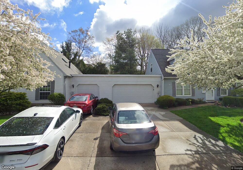
3404 Brookpoint Ln Unit G20 Cuyahoga Falls, OH 44223
Mud Brook NeighborhoodEstimated Value: $217,986 - $238,000
3
Beds
2
Baths
1,326
Sq Ft
$169/Sq Ft
Est. Value
About This Home
This home is located at 3404 Brookpoint Ln Unit G20, Cuyahoga Falls, OH 44223 and is currently estimated at $223,997, approximately $168 per square foot. 3404 Brookpoint Ln Unit G20 is a home located in Summit County with nearby schools including Woodridge Middle School, Woodridge High School, and Immaculate Heart Of Mary School.
Ownership History
Date
Name
Owned For
Owner Type
Purchase Details
Closed on
May 3, 2021
Sold by
Giorgio Michael R
Bought by
Giorgio Cassandra D
Current Estimated Value
Home Financials for this Owner
Home Financials are based on the most recent Mortgage that was taken out on this home.
Original Mortgage
$110,400
Outstanding Balance
$100,050
Interest Rate
3.1%
Mortgage Type
New Conventional
Estimated Equity
$123,947
Purchase Details
Closed on
Jul 2, 1999
Sold by
Arthur Leiter Glenn
Bought by
Giorgio Thelma Colleen
Create a Home Valuation Report for This Property
The Home Valuation Report is an in-depth analysis detailing your home's value as well as a comparison with similar homes in the area
Home Values in the Area
Average Home Value in this Area
Purchase History
| Date | Buyer | Sale Price | Title Company |
|---|---|---|---|
| Giorgio Cassandra D | $138,000 | None Listed On Document | |
| Giorgio Thelma Colleen | $130,000 | Chicago Title Insurance Comp |
Source: Public Records
Mortgage History
| Date | Status | Borrower | Loan Amount |
|---|---|---|---|
| Open | Giorgio Cassandra D | $110,400 |
Source: Public Records
Tax History Compared to Growth
Tax History
| Year | Tax Paid | Tax Assessment Tax Assessment Total Assessment is a certain percentage of the fair market value that is determined by local assessors to be the total taxable value of land and additions on the property. | Land | Improvement |
|---|---|---|---|---|
| 2025 | $3,343 | $57,051 | $5,947 | $51,104 |
| 2024 | $3,343 | $57,051 | $5,947 | $51,104 |
| 2023 | $3,343 | $57,051 | $5,947 | $51,104 |
| 2022 | $3,001 | $45,641 | $4,757 | $40,884 |
| 2021 | $2,447 | $45,641 | $4,757 | $40,884 |
| 2020 | $2,417 | $45,640 | $4,760 | $40,880 |
| 2019 | $2,212 | $39,970 | $4,710 | $35,260 |
| 2018 | $2,252 | $39,970 | $4,710 | $35,260 |
| 2017 | $1,939 | $39,970 | $4,710 | $35,260 |
| 2016 | $1,931 | $36,850 | $4,710 | $32,140 |
| 2015 | $1,939 | $36,850 | $4,710 | $32,140 |
| 2014 | $1,826 | $36,850 | $4,710 | $32,140 |
| 2013 | $2,123 | $41,480 | $4,710 | $36,770 |
Source: Public Records
Map
Nearby Homes
- 3429 Brookpoint Ln
- 3254 Cherie Cercle
- 435 W Heritage Dr Unit 25
- 336 Graham Rd
- 3154 Prior Dr
- 3168 Old Mill Dr
- 3452 Wyoga Lake Rd
- 377 Pleasant Meadow Blvd Unit 1D
- 324 Madison Ave
- 418 Hayes Ave
- 3584 Brookside Rd
- 324 Hayes Ave
- 2876 9th St
- 3751 Wyoga Lake Rd
- 2855 6th St
- 218 Monroe Ave
- 3423 Bailey Rd
- 2873 Oakwood Dr
- 1977 Fox Trace Trail
- 1983 Fox Trace Trail
- 3282 Brookpoint Ln
- 3284 Brookpoint Ln
- 3412 Brookpoint Ln
- 3408 Brookpoint Ln
- 3388 Brookpoint Ln
- 3341 Brookside Ln
- 3354 Brookside Ln Unit W69
- 3352 Brookside Ln Unit W68
- 3385 Ash Ln
- 3375 Ash Ln
- 3365 Ash Ln Unit O48
- 3348 Brookside Ln Unit V66
- 3346 Brookside Ln Unit V65
- 3344 Brookside Ln
- 3332 Brookside Ln Unit R56
- 3334 Brookside Ln
- 3336 Brookside Ln
- 3292 Brookpoint Ln
- 3296 Brookpoint Ln Unit X75
- 3310 Brookpoint Ln Unit X74