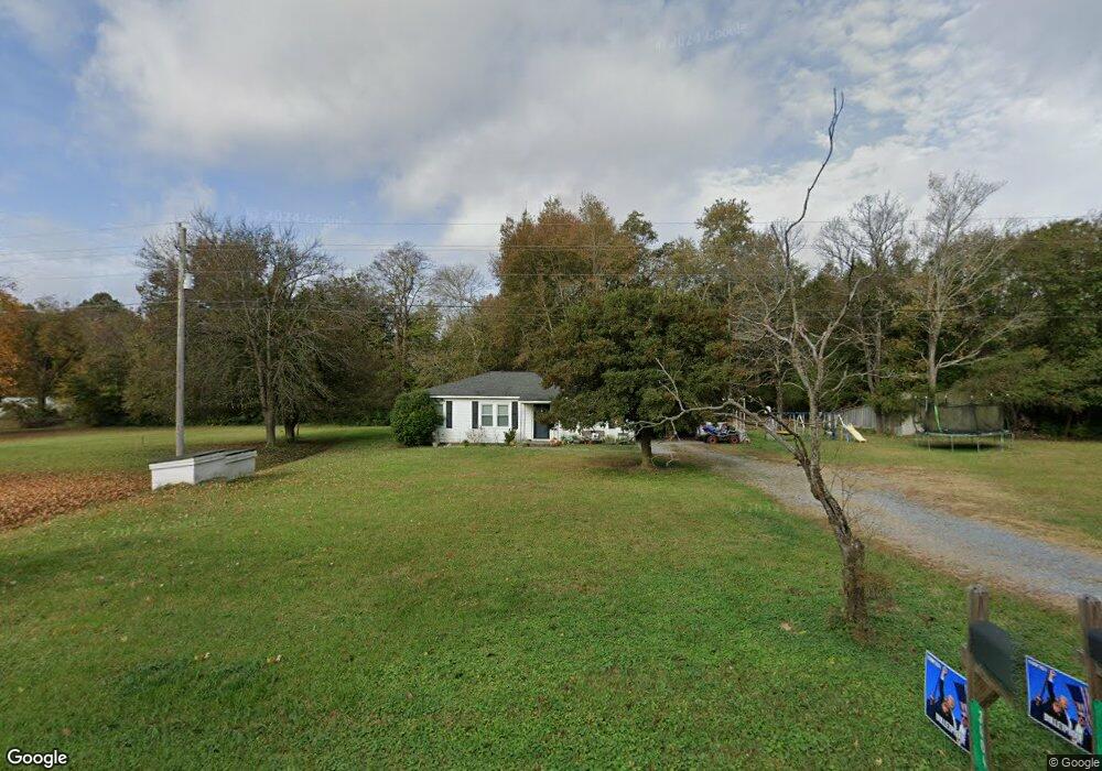
3404 Lancaster Hwy Monroe, NC 28112
Estimated Value: $278,000 - $342,000
3
Beds
1
Bath
1,232
Sq Ft
$243/Sq Ft
Est. Value
About This Home
This home is located at 3404 Lancaster Hwy, Monroe, NC 28112 and is currently estimated at $299,163, approximately $242 per square foot. 3404 Lancaster Hwy is a home located in Union County with nearby schools including Prospect Elementary School, Parkwood Middle School, and Parkwood High School.
Ownership History
Date
Name
Owned For
Owner Type
Purchase Details
Closed on
Jul 20, 2022
Sold by
Shaw Charo Martha
Bought by
Martha Shaw Charo Living Trust
Current Estimated Value
Purchase Details
Closed on
Jul 13, 2007
Sold by
Todd Joe and Todd Kay S
Bought by
Charo Elias and Mcnally Montina Charo
Home Financials for this Owner
Home Financials are based on the most recent Mortgage that was taken out on this home.
Original Mortgage
$118,400
Interest Rate
6.37%
Mortgage Type
Seller Take Back
Create a Home Valuation Report for This Property
The Home Valuation Report is an in-depth analysis detailing your home's value as well as a comparison with similar homes in the area
Home Values in the Area
Average Home Value in this Area
Purchase History
| Date | Buyer | Sale Price | Title Company |
|---|---|---|---|
| Martha Shaw Charo Living Trust | -- | Sorrell Law Firm | |
| Charo Elias | $118,500 | None Available |
Source: Public Records
Mortgage History
| Date | Status | Borrower | Loan Amount |
|---|---|---|---|
| Previous Owner | Charo Elias | $118,400 |
Source: Public Records
Tax History Compared to Growth
Tax History
| Year | Tax Paid | Tax Assessment Tax Assessment Total Assessment is a certain percentage of the fair market value that is determined by local assessors to be the total taxable value of land and additions on the property. | Land | Improvement |
|---|---|---|---|---|
| 2024 | $951 | $147,800 | $41,500 | $106,300 |
| 2023 | $938 | $147,800 | $41,500 | $106,300 |
| 2022 | $938 | $147,800 | $41,500 | $106,300 |
| 2021 | $931 | $147,800 | $41,500 | $106,300 |
| 2020 | $786 | $101,890 | $32,690 | $69,200 |
| 2019 | $801 | $101,890 | $32,690 | $69,200 |
| 2018 | $801 | $101,890 | $32,690 | $69,200 |
| 2017 | $854 | $101,900 | $32,700 | $69,200 |
| 2016 | $826 | $101,890 | $32,690 | $69,200 |
| 2015 | $840 | $101,890 | $32,690 | $69,200 |
| 2014 | $803 | $115,310 | $46,160 | $69,150 |
Source: Public Records
Map
Nearby Homes
- 3313 Lancaster Hwy
- 3211 Lancaster Hwy
- 3808 Forty Acre Dr
- Teton Plan at Stonemill
- Townsend Plan at Stonemill
- Daffodil Plan at Stonemill
- Kensington Plan at Stonemill
- 3610 Roughedge Dr
- 3607 Roughedge Dr
- 3611 Roughedge Dr
- 3706 Roughedge Dr
- 3710 Roughedge Dr
- 2109 Long Hope Rd
- 3504 Oasis Dr
- 2320 Doster Rd
- 2411 Plyler Mill Rd
- 2407 Plyler Mill Rd
- 1410 Augustus Rd
- 1416 Augustus Rd
- 2668 Tillman St
- 3410 Lancaster Hwy
- 3403 Lancaster Hwy
- 3317 Lancaster Hwy
- 3318 Lancaster Hwy
- 2414 Fletcher Broome Rd
- 3313 Lancaster Hwy
- 3311 Lancaster Hwy
- 3308 Lancaster Hwy
- 3307 Lancaster Hwy
- 2510 Fletcher Broome Rd
- 2518 Fletcher Broome Rd
- 3309 Lancaster Hwy
- 2407 Fletcher Broome Rd
- 3411 Lancaster Hwy
- 3301 Lancaster Hwy
- 3220 Lancaster Hwy
- 2403 Fletcher Broome Rd
- 1922 Gables Dr
- 3215 Lancaster Hwy
- 1924 Gables Dr