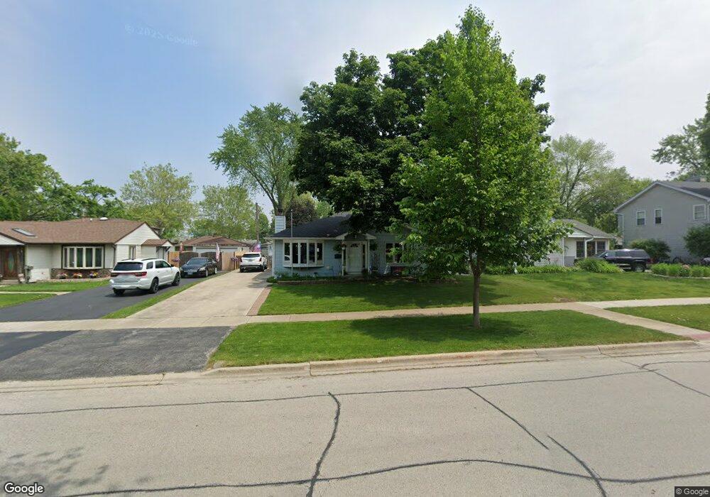
3404 Meadow Dr Rolling Meadows, IL 60008
Estimated Value: $319,581 - $344,000
3
Beds
1
Bath
1,003
Sq Ft
$334/Sq Ft
Est. Value
About This Home
This home is located at 3404 Meadow Dr, Rolling Meadows, IL 60008 and is currently estimated at $335,145, approximately $334 per square foot. 3404 Meadow Dr is a home located in Cook County with nearby schools including Kimball Hill Elementary School, Carl Sandburg Junior High School, and Rolling Meadows High School.
Ownership History
Date
Name
Owned For
Owner Type
Purchase Details
Closed on
Nov 28, 2023
Sold by
Schendel Linda K
Bought by
Linda K Schendel Trust and Schendel
Current Estimated Value
Purchase Details
Closed on
Nov 29, 2017
Sold by
Schendel Robert M
Bought by
Schendel Robert M and Schendel Linda K
Home Financials for this Owner
Home Financials are based on the most recent Mortgage that was taken out on this home.
Original Mortgage
$145,000
Interest Rate
4.12%
Mortgage Type
New Conventional
Purchase Details
Closed on
Nov 4, 2014
Sold by
Schendel Robert Monroe and Schendel Linda Kay
Bought by
Schendel Robert M and Schendel Family Trust
Purchase Details
Closed on
Aug 27, 1991
Sold by
Schendel Robert M
Bought by
Schendel Robert M and Schendel Linda K
Create a Home Valuation Report for This Property
The Home Valuation Report is an in-depth analysis detailing your home's value as well as a comparison with similar homes in the area
Home Values in the Area
Average Home Value in this Area
Purchase History
| Date | Buyer | Sale Price | Title Company |
|---|---|---|---|
| Linda K Schendel Trust | -- | None Listed On Document | |
| Schendel Robert M | -- | Petra Title Llc | |
| Schendel Robert M | -- | None Available | |
| Schendel Robert M | -- | Advanced Title Services Inc |
Source: Public Records
Mortgage History
| Date | Status | Borrower | Loan Amount |
|---|---|---|---|
| Previous Owner | Schendel Robert M | $145,000 |
Source: Public Records
Tax History
| Year | Tax Paid | Tax Assessment Tax Assessment Total Assessment is a certain percentage of the fair market value that is determined by local assessors to be the total taxable value of land and additions on the property. | Land | Improvement |
|---|---|---|---|---|
| 2025 | $5,852 | $28,001 | $5,077 | $22,924 |
| 2024 | $5,852 | $21,258 | $4,296 | $16,962 |
| 2023 | $5,573 | $22,411 | $4,296 | $18,115 |
| 2022 | $5,573 | $22,411 | $4,296 | $18,115 |
| 2021 | $4,852 | $17,981 | $2,538 | $15,443 |
| 2020 | $4,811 | $17,981 | $2,538 | $15,443 |
| 2019 | $4,847 | $20,091 | $2,538 | $17,553 |
| 2018 | $4,016 | $15,833 | $2,343 | $13,490 |
| 2017 | $3,953 | $15,833 | $2,343 | $13,490 |
| 2016 | $4,461 | $17,589 | $2,343 | $15,246 |
| 2015 | $3,529 | $13,832 | $2,147 | $11,685 |
| 2014 | $3,462 | $13,832 | $2,147 | $11,685 |
| 2013 | $3,360 | $13,832 | $2,147 | $11,685 |
Source: Public Records
Map
Nearby Homes
- 2709 Lily Ln
- 3209 Trillium Cir
- 3306 Trillium Cir Unit 3001
- 3200 Thrush Ln
- 3710 Meadow Dr
- 3712 Jay Ln
- 3100 Town Square Dr Unit 308
- 3100 Town Square Dr Unit 204
- 3135 Town Square Dr Unit 401
- 3605 Oriole Ln
- 2705 Park St
- 3265 Kirchoff Rd Unit 116
- 3345 Kirchoff Rd Unit 5C
- 2201 Kingfisher Ln
- 2302 Fulle St
- 399 Knollwood Ct
- 2830 Northampton Dr Unit A1
- 3 Holyoke on Auburn
- 1107 S Old Wilke Rd Unit 103
- 1117 S Old Wilke Rd Unit 206
Your Personal Tour Guide
Ask me questions while you tour the home.