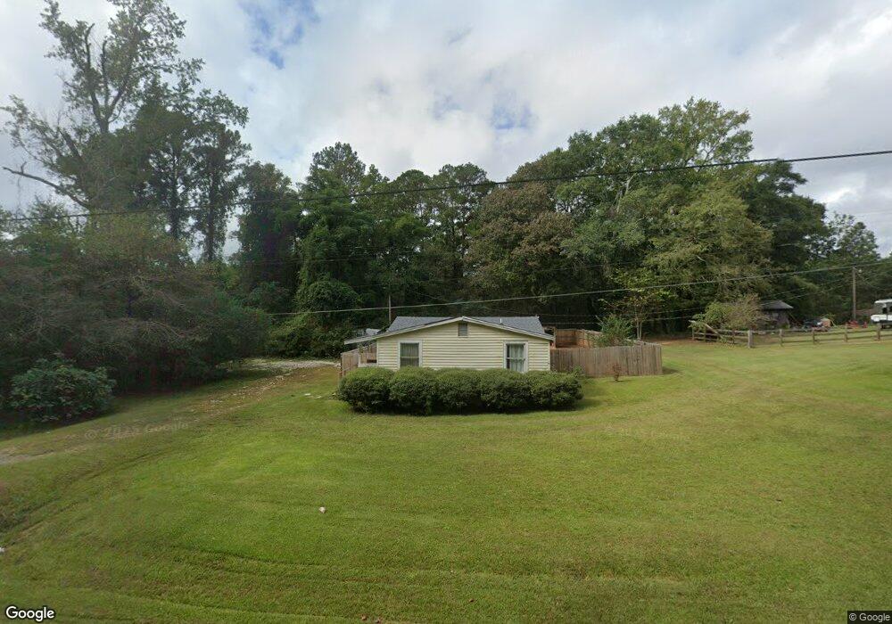
3404 Whitesville Rd Lagrange, GA 30240
Estimated Value: $85,829 - $163,000
2
Beds
1
Bath
864
Sq Ft
$144/Sq Ft
Est. Value
About This Home
This home is located at 3404 Whitesville Rd, Lagrange, GA 30240 and is currently estimated at $124,707, approximately $144 per square foot. 3404 Whitesville Rd is a home located in Troup County with nearby schools including Whitesville Road Elementary School, Berta Weathersbee Elementary School, and Rosemont Elementary School.
Ownership History
Date
Name
Owned For
Owner Type
Purchase Details
Closed on
Jul 1, 2017
Sold by
Max Mccord O
Bought by
Folsom Mark L and Folsom Tammy Ann
Current Estimated Value
Purchase Details
Closed on
Feb 10, 1975
Sold by
Anne F Heeth
Bought by
Mccord Max
Purchase Details
Closed on
Jan 1, 1973
Sold by
Robert D Marjorie Stapler
Bought by
Anne F Heeth
Purchase Details
Closed on
Mar 16, 1972
Sold by
Wendell Brown
Bought by
Robert D Marjorie Stapler
Purchase Details
Closed on
Jan 1, 1969
Sold by
Heflin Smith
Bought by
Wendell Brown
Create a Home Valuation Report for This Property
The Home Valuation Report is an in-depth analysis detailing your home's value as well as a comparison with similar homes in the area
Home Values in the Area
Average Home Value in this Area
Purchase History
| Date | Buyer | Sale Price | Title Company |
|---|---|---|---|
| Folsom Mark L | $60,000 | -- | |
| Mccord Max | $7,500 | -- | |
| Anne F Heeth | -- | -- | |
| Robert D Marjorie Stapler | -- | -- | |
| Wendell Brown | -- | -- |
Source: Public Records
Tax History Compared to Growth
Tax History
| Year | Tax Paid | Tax Assessment Tax Assessment Total Assessment is a certain percentage of the fair market value that is determined by local assessors to be the total taxable value of land and additions on the property. | Land | Improvement |
|---|---|---|---|---|
| 2024 | $683 | $25,048 | $3,000 | $22,048 |
| 2023 | $680 | $24,932 | $3,000 | $21,932 |
| 2022 | $661 | $23,692 | $3,000 | $20,692 |
| 2021 | $663 | $21,996 | $2,760 | $19,236 |
| 2020 | $663 | $21,996 | $2,760 | $19,236 |
| 2019 | $659 | $21,864 | $2,760 | $19,104 |
| 2018 | $607 | $20,124 | $2,760 | $17,364 |
| 2017 | $339 | $11,244 | $1,840 | $9,404 |
| 2016 | $331 | $10,972 | $1,866 | $9,106 |
| 2015 | $331 | $10,972 | $1,866 | $9,106 |
| 2014 | $319 | $10,546 | $1,866 | $8,680 |
| 2013 | -- | $11,186 | $1,866 | $9,320 |
Source: Public Records
Map
Nearby Homes
- 660 Bartley Rd
- 3913 Whitesville Rd
- 1605 Bartley Rd
- 0 Whitesville Rd Unit 10496838
- 0 Whitesville Rd Unit 10578327
- 11.59+/- AC Hunt Rd
- 2067 Bartley Rd
- 620 Old Hutchinson Mill Rd
- 2851 & 2891 Hamilton Rd
- 2222 Whitesville Rd
- 250 Wilcox Rd
- 111 Hamilton Lake View Ct
- 3691 Hamilton Rd
- 130 Hamilton Lake Dr
- 138 Hamilton Lake Dr
- 37 Lake Dr
- 311 Tomme Rd
- 557 Lago Ct
- 553 Lago Ct
- 3919 Hamilton Rd Unit LOT 1
- 3386 Whitesville Rd
- 3434 Whitesville Rd
- 3360 Whitesville Rd
- S Whitesville Rd
- 3456 Whitesville Rd
- 3476 Whitesville Rd
- 214 AC Whitesville Rd
- 3342 Whitesville Rd
- 3499 Whitesville Rd
- 3504 Whitesville Rd
- 3290 Whitesville Rd
- 3286 Whitesville Rd
- 3288 Whitesville Rd
- 3531 Whitesville Rd
- 3542 Whitesville Rd
- 189 George Allen Rd
- 151 George Allen Rd
- 3598 Whitesville Rd
- 3598 Whitesville Rd Unit 186
- 3600 Whitesville Rd