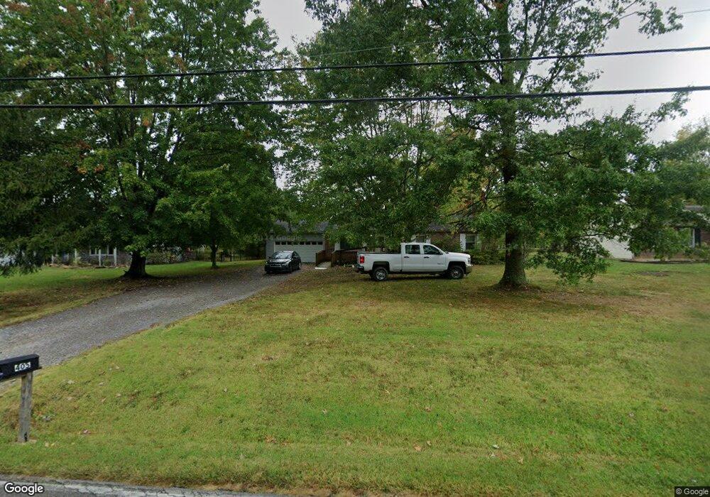
3405 Cole Rd Amelia, OH 45102
Estimated Value: $258,842 - $345,000
3
Beds
2
Baths
1,440
Sq Ft
$211/Sq Ft
Est. Value
About This Home
This home is located at 3405 Cole Rd, Amelia, OH 45102 and is currently estimated at $303,711, approximately $210 per square foot. 3405 Cole Rd is a home located in Clermont County with nearby schools including Amelia Elementary School, West Clermont Middle School, and West Clermont High School.
Ownership History
Date
Name
Owned For
Owner Type
Purchase Details
Closed on
Nov 13, 2009
Sold by
Gabbard Christopher R and Gabbard Kimberly J
Bought by
Petre Jessica S and Petre John R
Current Estimated Value
Home Financials for this Owner
Home Financials are based on the most recent Mortgage that was taken out on this home.
Original Mortgage
$129,609
Outstanding Balance
$84,413
Interest Rate
4.95%
Mortgage Type
FHA
Estimated Equity
$219,298
Purchase Details
Closed on
May 3, 2002
Sold by
Jackson Edward A
Bought by
Gabbard Christopher R
Home Financials for this Owner
Home Financials are based on the most recent Mortgage that was taken out on this home.
Original Mortgage
$113,602
Interest Rate
7.18%
Mortgage Type
FHA
Purchase Details
Closed on
Jan 1, 1987
Create a Home Valuation Report for This Property
The Home Valuation Report is an in-depth analysis detailing your home's value as well as a comparison with similar homes in the area
Home Values in the Area
Average Home Value in this Area
Purchase History
| Date | Buyer | Sale Price | Title Company |
|---|---|---|---|
| Petre Jessica S | $132,000 | Prodigy Title Agency | |
| Gabbard Christopher R | $114,500 | -- | |
| -- | $8,000 | -- |
Source: Public Records
Mortgage History
| Date | Status | Borrower | Loan Amount |
|---|---|---|---|
| Open | Petre Jessica S | $129,609 | |
| Previous Owner | Gabbard Christopher R | $113,602 |
Source: Public Records
Tax History
| Year | Tax Paid | Tax Assessment Tax Assessment Total Assessment is a certain percentage of the fair market value that is determined by local assessors to be the total taxable value of land and additions on the property. | Land | Improvement |
|---|---|---|---|---|
| 2024 | $4,201 | $82,260 | $16,980 | $65,280 |
| 2023 | $4,208 | $82,260 | $16,980 | $65,280 |
| 2022 | $2,891 | $49,140 | $10,150 | $38,990 |
| 2021 | $2,858 | $49,140 | $10,150 | $38,990 |
| 2020 | $2,859 | $49,140 | $10,150 | $38,990 |
| 2019 | $2,373 | $44,280 | $11,870 | $32,410 |
| 2018 | $2,396 | $44,280 | $11,870 | $32,410 |
| 2017 | $2,185 | $44,280 | $11,870 | $32,410 |
| 2016 | $2,185 | $36,580 | $9,800 | $26,780 |
| 2015 | $2,126 | $36,580 | $9,800 | $26,780 |
| 2014 | $2,048 | $36,580 | $9,800 | $26,780 |
| 2013 | $1,918 | $34,060 | $9,800 | $24,260 |
Source: Public Records
Map
Nearby Homes
- 27 Heron Dr
- 263 Deer Creek Dr
- 253 Deer Creek Dr
- 11 Finch Ct
- 1538 Denny Dr
- 1554 Denny Dr
- 21 Mallard Dr
- 67 Snapdragon Dr
- 1821 Ohio 125
- 0 Ohio 125
- 1969 Ohio 125
- 57 Marigold Ln
- 27 Locustwood Ct
- 3591 Lake Meadow Dr
- 1 Merwin Farms
- 288 Samplewood Ln
- 9 Letitia Ave
- 12 Ledgerwoods Dr Unit 8
- 185 Woodside Park Dr
- 1300 Riverwalk Dr
Your Personal Tour Guide
Ask me questions while you tour the home.