Estimated Value: $575,637 - $610,000
3
Beds
2
Baths
1,624
Sq Ft
$365/Sq Ft
Est. Value
About This Home
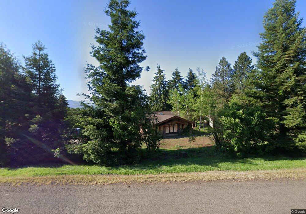
This home is located at 34058 Powell Hills Loop, Shedd, OR 97377 and is currently estimated at $592,819, approximately $365 per square foot. 34058 Powell Hills Loop is a home located in Linn County with nearby schools including Central Linn Elementary School and Central Linn High School.
Ownership History
Date
Name
Owned For
Owner Type
Purchase Details
Closed on
Jan 26, 2007
Sold by
Cady Mary E
Bought by
Rowland Mark E and Rowland Sarah L
Current Estimated Value
Home Financials for this Owner
Home Financials are based on the most recent Mortgage that was taken out on this home.
Original Mortgage
$235,200
Outstanding Balance
$138,978
Interest Rate
6.1%
Mortgage Type
Purchase Money Mortgage
Estimated Equity
$453,841
Purchase Details
Closed on
Jul 19, 2006
Sold by
Cady Mary E and Cady Joseph Hal
Bought by
Cady Mary E
Create a Home Valuation Report for This Property
The Home Valuation Report is an in-depth analysis detailing your home's value as well as a comparison with similar homes in the area
Purchase History
| Date | Buyer | Sale Price | Title Company |
|---|---|---|---|
| Rowland Mark E | $294,000 | Lawyers Title Insurance Corp | |
| Cady Mary E | -- | Lawyers Title Insurance Corp |
Source: Public Records
Mortgage History
| Date | Status | Borrower | Loan Amount |
|---|---|---|---|
| Open | Rowland Mark E | $235,200 |
Source: Public Records
Tax History
| Year | Tax Paid | Tax Assessment Tax Assessment Total Assessment is a certain percentage of the fair market value that is determined by local assessors to be the total taxable value of land and additions on the property. | Land | Improvement |
|---|---|---|---|---|
| 2025 | $3,880 | $347,440 | -- | -- |
| 2024 | $3,768 | $337,330 | -- | -- |
| 2023 | $3,657 | $327,510 | $0 | $0 |
| 2022 | $3,553 | $317,980 | $0 | $0 |
| 2021 | $3,684 | $308,720 | $0 | $0 |
| 2020 | $3,612 | $299,730 | $0 | $0 |
| 2019 | $3,537 | $291,000 | $0 | $0 |
| 2018 | $3,443 | $282,530 | $0 | $0 |
| 2017 | $3,348 | $274,310 | $0 | $0 |
| 2016 | $3,259 | $266,330 | $0 | $0 |
Source: Public Records
Map
Nearby Homes
- 34207 Enos Dr
- 27889 Seven Mile Ln
- 804 River Ave
- 905 Ash St
- 29015 Brownsville Rd
- 29109 Brownsville Rd
- 856 W Bishop Way
- 811 Northpoint Loop
- 305 School Ave
- 133 Washburn St
- 0 Oregon 228
- 401 Kay Ave
- 209 Templeton St
- 28920 Sheep Head (Next To) Rd
- 106 (Next To) E Bishop Way
- 106 E Bishop Way Next To
- 35676 Oak View Dr
- 529 Robe (Next To) St
- 115 E 2nd St
- 485 E 2nd St
- 34040 Powell Hills Loop
- 34056 Powell Hills Loop
- 28260 Lark Ln
- 34065 Powell Hills Loop
- 34075 Powell Hills Loop
- 34025 Powell Hills Loop
- 34060 Powell Hills Loop
- 33930 Sunset View Ln
- 28182 Lark Ln
- 34015 Powell Hills Loop
- 34030 Powell Hills Loop
- 28221 Lark Ln
- 34020 Powell Hills Loop
- 33991 Powell Hills Loop
- 34010 Powell Hills Loop
- 33999 Powell Hills Loop
- 33920 Sunset View Ln
- 34141 Powell Hills Loop
- 34100 Powell Hills Loop
Your Personal Tour Guide
Ask me questions while you tour the home.