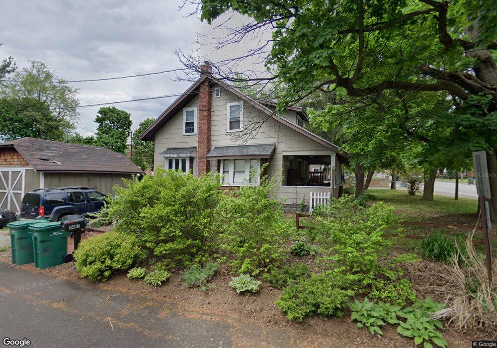
3407 Edison St NW Uniontown, OH 44685
Estimated Value: $90,000 - $184,000
2
Beds
2
Baths
1,274
Sq Ft
$115/Sq Ft
Est. Value
About This Home
This home is located at 3407 Edison St NW, Uniontown, OH 44685 and is currently estimated at $146,528, approximately $115 per square foot. 3407 Edison St NW is a home located in Stark County with nearby schools including Lake Middle/High School, Lake Center Christian School, and Mayfair Christian School.
Ownership History
Date
Name
Owned For
Owner Type
Purchase Details
Closed on
Sep 27, 2007
Sold by
Diversified Data Management Inc
Bought by
Clearview Properties Llc
Current Estimated Value
Purchase Details
Closed on
Jun 22, 1995
Sold by
Brown Debra S
Bought by
Diversified Data Management Inc
Purchase Details
Closed on
Apr 12, 1993
Purchase Details
Closed on
Mar 11, 1993
Purchase Details
Closed on
Jul 16, 1990
Create a Home Valuation Report for This Property
The Home Valuation Report is an in-depth analysis detailing your home's value as well as a comparison with similar homes in the area
Home Values in the Area
Average Home Value in this Area
Purchase History
| Date | Buyer | Sale Price | Title Company |
|---|---|---|---|
| Clearview Properties Llc | $45,300 | None Available | |
| Diversified Data Management Inc | $66,500 | -- | |
| -- | -- | -- | |
| -- | -- | -- | |
| -- | $47,500 | -- |
Source: Public Records
Tax History Compared to Growth
Tax History
| Year | Tax Paid | Tax Assessment Tax Assessment Total Assessment is a certain percentage of the fair market value that is determined by local assessors to be the total taxable value of land and additions on the property. | Land | Improvement |
|---|---|---|---|---|
| 2025 | $1,235 | $21,420 | $13,930 | $7,490 |
| 2024 | -- | $21,420 | $13,930 | $7,490 |
| 2023 | $1,196 | $22,470 | $9,870 | $12,600 |
| 2022 | $1,200 | $22,470 | $9,870 | $12,600 |
| 2021 | $1,212 | $22,470 | $9,870 | $12,600 |
| 2020 | $1,150 | $19,010 | $8,510 | $10,500 |
| 2019 | $1,142 | $25,980 | $8,510 | $17,470 |
| 2018 | $1,729 | $25,980 | $8,510 | $17,470 |
| 2017 | $6,043 | $23,040 | $6,090 | $16,950 |
| 2016 | $7,347 | $23,040 | $6,090 | $16,950 |
| 2015 | $1,662 | $23,040 | $6,090 | $16,950 |
| 2014 | $1,335 | $21,040 | $5,530 | $15,510 |
| 2013 | $668 | $21,040 | $5,530 | $15,510 |
Source: Public Records
Map
Nearby Homes
- 0 Pine St NW
- 12855 Redwood Ave NW
- 13025 Sunset Cir NW
- 3771 Edison St NW
- 3885 Hugh St NW
- 3979 Northdale St NW
- 2754 Irma Dr
- 3796 Sweitzer St NW
- 843 Brodie Ct
- 835 Brodie Ct
- 13792 Amodio Ave NW
- 12494 Bridgemont Ave NW
- 2693 Ledgestone Dr NW
- 12235 Cantburg Ave NW
- 2771 Superior Dr
- 2944 Pontius St NW
- 2498 Foxfire St NW
- 2335 Ledgestone Dr NW
- 2273 Ledgestone Dr NW
- 2319 Ledgestone Dr NW
- 3393 Edison St NW
- 3425 Edison St NW
- 3377 Edison St NW
- 3434 Edison St NW
- 3408 Edison St NW
- 3394 Edison St NW
- 3380 Edison St NW
- 13093 Grange Ave NW
- 3370 Edison St NW
- 0 Edison St NW Unit 4486918
- 0 Edison St NW
- 3450 Edison St NW
- 3360 Edison St NW
- 3393 Northdale St NW
- 3340 Edison St NW
- 12980 Grange Ave NW
- 3373 Northdale St NW
- 13040 Oakwood Ave NW
- 12982 Oakwood Ave NW
- 3330 Edison St NW