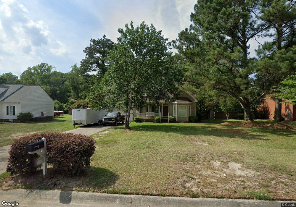
3407 Robinwood Dr Kinston, NC 28504
Estimated Value: $218,000 - $264,000
4
Beds
2
Baths
2,063
Sq Ft
$118/Sq Ft
Est. Value
About This Home
This home is located at 3407 Robinwood Dr, Kinston, NC 28504 and is currently estimated at $244,456, approximately $118 per square foot. 3407 Robinwood Dr is a home located in Lenoir County with nearby schools including Banks Elementary School, E.B. Frink Middle School, and North Lenoir High School.
Ownership History
Date
Name
Owned For
Owner Type
Purchase Details
Closed on
Apr 25, 2005
Sold by
Foster Allen C and Foster Mildred Stevens
Bought by
Foster Allen Charles
Current Estimated Value
Home Financials for this Owner
Home Financials are based on the most recent Mortgage that was taken out on this home.
Original Mortgage
$120,000
Outstanding Balance
$61,965
Interest Rate
5.79%
Mortgage Type
New Conventional
Estimated Equity
$182,491
Create a Home Valuation Report for This Property
The Home Valuation Report is an in-depth analysis detailing your home's value as well as a comparison with similar homes in the area
Home Values in the Area
Average Home Value in this Area
Purchase History
| Date | Buyer | Sale Price | Title Company |
|---|---|---|---|
| Foster Allen Charles | $137,000 | None Available |
Source: Public Records
Mortgage History
| Date | Status | Borrower | Loan Amount |
|---|---|---|---|
| Open | Foster Allen Charles | $120,000 |
Source: Public Records
Tax History Compared to Growth
Tax History
| Year | Tax Paid | Tax Assessment Tax Assessment Total Assessment is a certain percentage of the fair market value that is determined by local assessors to be the total taxable value of land and additions on the property. | Land | Improvement |
|---|---|---|---|---|
| 2025 | $2,477 | $176,278 | $18,496 | $157,782 |
| 2024 | $1,686 | $104,369 | $16,000 | $88,369 |
| 2023 | $1,686 | $104,369 | $16,000 | $88,369 |
| 2022 | $1,686 | $104,369 | $16,000 | $88,369 |
| 2021 | $1,686 | $104,369 | $16,000 | $88,369 |
| 2020 | $1,644 | $104,369 | $16,000 | $88,369 |
| 2019 | $1,644 | $104,369 | $16,000 | $88,369 |
| 2018 | $1,626 | $104,369 | $16,000 | $88,369 |
| 2017 | $1,602 | $104,369 | $16,000 | $88,369 |
| 2014 | $1,911 | $125,761 | $16,000 | $109,761 |
| 2013 | -- | $125,761 | $16,000 | $109,761 |
| 2011 | -- | $125,761 | $16,000 | $109,761 |
Source: Public Records
Map
Nearby Homes
- Tract A Dobbs Farm Rd
- 2808 Brookhaven Dr
- 2102 Hardee Rd
- 2100 Emerson Rd
- 2803 Carey Rd
- 2105 Dallas Dr
- 2301 Stallings Dr
- 2106 Saint George Place
- 1907 Essex St
- 902 Rosanne Dr
- 0 Hwy 258 N Unit LotWP001 22409279
- 0 Hwy 258 N Unit LotWP002
- 2 Boy Scout Blvd
- 1912 Greenbriar Rd
- 1423 N Wilshire Ct
- 2100 Hwy 258 N
- 7569 Carey Rd
- Lot 13 Darby Ave
- 1324 S Wilshire Ct
- 1957 Country Squire Rd
- 3501 Robinwood Dr
- 3405 Robinwood Dr
- 3010 Camelot Dr
- 3013 Camelot Dr
- 3011 Camelot Dr
- 3009 Tacoma Dr
- 3008 Camelot Dr
- 3505 Robinwood Dr
- 3014 Rouse Rd
- 3009 Camelot Dr
- 3012 Rouse Rd
- 3007 Tacoma Dr
- 3006 Camelot Dr
- 3010 Rouse Rd
- 3601 Robinwood Dr
- 3006 Tacoma Dr
- 3005 Tacoma Dr
- 3004 Camelot Dr
- 3008 Rouse Rd
- 3004 Tacoma Dr