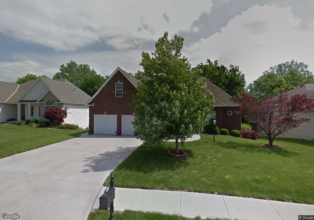
3407 Stanford Ct Saint Joseph, MO 64506
East Saint Joseph NeighborhoodEstimated Value: $385,000 - $430,000
3
Beds
--
Bath
1,703
Sq Ft
$241/Sq Ft
Est. Value
About This Home
This home is located at 3407 Stanford Ct, Saint Joseph, MO 64506 and is currently estimated at $409,944, approximately $240 per square foot. 3407 Stanford Ct is a home located in Buchanan County with nearby schools including Oak Grove Elementary School, Bode Middle School, and Central High School.
Ownership History
Date
Name
Owned For
Owner Type
Purchase Details
Closed on
Sep 17, 2012
Sold by
Jourdan Shannan T and Jourdan Shannan
Bought by
Douglas Darryl and Jolin Bobbi J
Current Estimated Value
Home Financials for this Owner
Home Financials are based on the most recent Mortgage that was taken out on this home.
Original Mortgage
$178,000
Outstanding Balance
$123,459
Interest Rate
3.62%
Mortgage Type
New Conventional
Estimated Equity
$286,485
Purchase Details
Closed on
Jul 28, 2006
Sold by
Eckelbarger Robert L
Bought by
Jourdan Shannan T and Jourdan Shannan
Home Financials for this Owner
Home Financials are based on the most recent Mortgage that was taken out on this home.
Original Mortgage
$37,800
Interest Rate
6.62%
Mortgage Type
Purchase Money Mortgage
Create a Home Valuation Report for This Property
The Home Valuation Report is an in-depth analysis detailing your home's value as well as a comparison with similar homes in the area
Home Values in the Area
Average Home Value in this Area
Purchase History
| Date | Buyer | Sale Price | Title Company |
|---|---|---|---|
| Douglas Darryl | -- | First American Title | |
| Jourdan Shannan T | -- | None Available |
Source: Public Records
Mortgage History
| Date | Status | Borrower | Loan Amount |
|---|---|---|---|
| Open | Douglas Darryl | $178,000 | |
| Previous Owner | Jourdan Shannan T | $37,800 |
Source: Public Records
Tax History Compared to Growth
Tax History
| Year | Tax Paid | Tax Assessment Tax Assessment Total Assessment is a certain percentage of the fair market value that is determined by local assessors to be the total taxable value of land and additions on the property. | Land | Improvement |
|---|---|---|---|---|
| 2024 | $3,011 | $42,770 | $8,550 | $34,220 |
| 2023 | $3,011 | $42,770 | $8,550 | $34,220 |
| 2022 | $2,788 | $42,770 | $8,550 | $34,220 |
| 2021 | $2,801 | $42,770 | $8,550 | $34,220 |
| 2020 | $2,785 | $42,770 | $8,550 | $34,220 |
| 2019 | $2,688 | $42,770 | $8,550 | $34,220 |
| 2018 | $2,423 | $42,770 | $8,550 | $34,220 |
| 2017 | $2,401 | $42,770 | $0 | $0 |
| 2015 | $2,340 | $42,770 | $0 | $0 |
| 2014 | $2,340 | $42,770 | $0 | $0 |
Source: Public Records
Map
Nearby Homes
- 4404 Kensington Dr
- 4304 Kensington Dr
- 3703 Durham Ct
- 3201 Sheffield Ln
- 4705 Huntsboro Ct
- 3804 Kingston Ct
- 5418 N Pointe Dr
- 5408 N Pointe Dr
- 5415 N Pointe Dr
- 5411 N Pointe Dr
- 2 N Pointe Dr
- 0 N Pointe Dr
- 4206 Windward Dr
- 4206 Stonegate Dr
- 4706 Donnelly Dr
- 3904 Remington Ct
- 4001 N 39th Ct
- 2815 Quail Dr
- 4602 Valley Ridge Dr
- 4600 Valley Ridge Dr
- 3405 Stanford Ct
- 3409 Stanford Ct
- 4204 Kensington Dr
- 3411 Stanford Ct
- 4202 Kensington Dr
- 3410 Stanford Ct
- 4206 Kensington Dr
- 3412 Stanford Ct
- 3401 Stanford Ct
- 3406 Stanford Ct
- 4208 Kensington Dr
- 3501 London Ct
- 3402 Stanford Ct
- 4201 N Devonshire Dr
- 4205 N Devonshire Dr
- 3403 W Devonshire Dr
- 4402 Kensington Dr
- 4210 Kensington Dr
- 3404 Stanford Ct
- 4201 Kensington Dr