3408 Anderson Hwy Elberton, GA 30635
Estimated Value: $581,000 - $639,000
3
Beds
2
Baths
2,520
Sq Ft
$239/Sq Ft
Est. Value
About This Home
This home is located at 3408 Anderson Hwy, Elberton, GA 30635 and is currently estimated at $602,894, approximately $239 per square foot. 3408 Anderson Hwy is a home located in Elbert County with nearby schools including Elbert County Primary School, Elbert County Elementary School, and Elbert County Middle School.
Ownership History
Date
Name
Owned For
Owner Type
Purchase Details
Closed on
Mar 22, 2021
Sold by
Collins Nancy R
Bought by
Camp Robert David
Current Estimated Value
Home Financials for this Owner
Home Financials are based on the most recent Mortgage that was taken out on this home.
Original Mortgage
$270,000
Outstanding Balance
$242,444
Interest Rate
2.8%
Mortgage Type
New Conventional
Estimated Equity
$360,450
Purchase Details
Closed on
Mar 5, 2008
Sold by
Collins Ted B
Bought by
Collins Nancy R
Purchase Details
Closed on
Nov 9, 2006
Sold by
East Coast Partners Llc
Bought by
Collins Ted B and Collins Nancy R
Purchase Details
Closed on
Jun 18, 2003
Sold by
Carpenter James F
Bought by
East Coast Partners Llc
Purchase Details
Closed on
Jan 1, 1984
Purchase Details
Closed on
May 1, 1980
Purchase Details
Closed on
May 1, 1974
Purchase Details
Closed on
Sep 1, 1965
Purchase Details
Closed on
Jan 1, 1932
Create a Home Valuation Report for This Property
The Home Valuation Report is an in-depth analysis detailing your home's value as well as a comparison with similar homes in the area
Home Values in the Area
Average Home Value in this Area
Purchase History
| Date | Buyer | Sale Price | Title Company |
|---|---|---|---|
| Camp Robert David | $405,000 | -- | |
| Collins Nancy R | -- | -- | |
| Collins Ted B | $266,750 | -- | |
| East Coast Partners Llc | $218,200 | -- | |
| -- | -- | -- | |
| -- | $100,000 | -- | |
| -- | $30,000 | -- | |
| -- | -- | -- | |
| -- | $1,900 | -- |
Source: Public Records
Mortgage History
| Date | Status | Borrower | Loan Amount |
|---|---|---|---|
| Open | Camp Robert David | $270,000 |
Source: Public Records
Tax History Compared to Growth
Tax History
| Year | Tax Paid | Tax Assessment Tax Assessment Total Assessment is a certain percentage of the fair market value that is determined by local assessors to be the total taxable value of land and additions on the property. | Land | Improvement |
|---|---|---|---|---|
| 2024 | $3,168 | $197,487 | $87,645 | $109,842 |
| 2023 | $3,155 | $197,487 | $87,645 | $109,842 |
| 2022 | $1,963 | $114,522 | $52,706 | $61,816 |
| 2021 | $1,953 | $114,522 | $52,706 | $61,816 |
| 2020 | $2,012 | $107,704 | $52,706 | $54,998 |
| 2019 | $2,076 | $107,704 | $52,706 | $54,998 |
| 2018 | $2,125 | $107,704 | $52,706 | $54,998 |
| 2017 | $2,102 | $93,529 | $43,903 | $49,626 |
| 2016 | $1,897 | $94,663 | $45,037 | $49,626 |
| 2015 | -- | $94,663 | $45,037 | $49,626 |
| 2014 | -- | $94,663 | $45,037 | $49,626 |
| 2013 | -- | $94,663 | $45,037 | $49,626 |
Source: Public Records
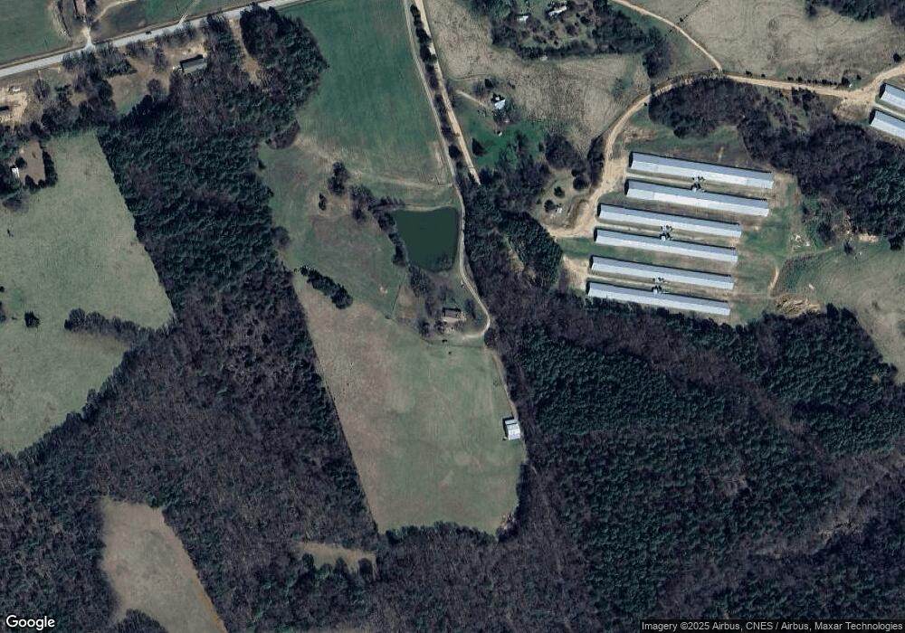
Map
Nearby Homes
- 2187 Turner Hill Rd
- 0 Gregg Shoals Dr Unit 10497348
- 0 Gregg Shoals Dr Unit CL342115
- 0 Gregg Shoals Dr Unit LotWP001 24031325
- 0 Pickens Point Dr Unit CL337116
- 0 Pickens Point Dr Unit 10588711
- 1071 Sword Dr Unit 64
- 1071 Sword Dr
- 0 Omaha Dr Unit 7591330
- 0 Omaha Dr Unit 10536866
- 1051 Bluff Rd
- 39B Omaha Dr
- Lot 26 Omaha Dr
- Lot 26 Omaha Dr Unit 26
- Lot 36 Omaha Dr
- 52B Omaha Dr
- 0 Utah Dr Unit 7596657
- 0 Utah Dr Unit 10542435
- LOT 14 Utah Dr
- LOT 14 Utah Dr Unit 14
- 3412 Anderson Hwy
- 3422 Anderson Hwy
- 3370 Anderson Hwy
- 3424 Anderson Hwy
- 3425 Anderson Hwy
- 3358 Anderson Hwy
- 3344 Anderson Hwy
- 3346 Anderson Hwy
- 3427 Anderson Hwy
- 3375 Anderson Hwy
- 2753 Vickery Ln
- 1540 Armour Cir
- 3465 Anderson Hwy
- 3444 Anderson Hwy
- 3363 Anderson Hwy
- 2712 Vickery Ln
- 3490 Anderson Hwy
- 2750 Vickery Ln
- 2198 Turner Hill Rd
- 1550 Armour Cir