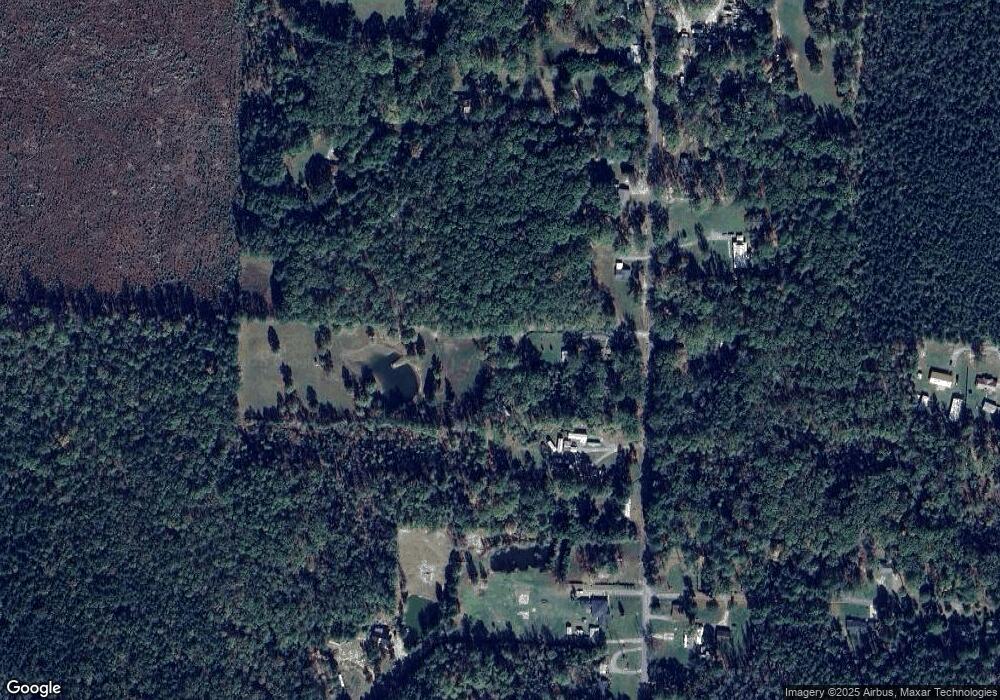
3408 Herring Rd Pine Bluff, AR 71602
Estimated Value: $101,897 - $239,000
--
Bed
1
Bath
864
Sq Ft
$183/Sq Ft
Est. Value
About This Home
This home is located at 3408 Herring Rd, Pine Bluff, AR 71602 and is currently estimated at $157,966, approximately $182 per square foot. 3408 Herring Rd is a home located in Jefferson County with nearby schools including Matthews Elementary School, Robert F. Morehead Middle School, and Dollarway High School.
Ownership History
Date
Name
Owned For
Owner Type
Purchase Details
Closed on
Oct 9, 2009
Sold by
Lybrand Wendell and Lybrand Charleen
Bought by
Ault Ryan Andrew
Current Estimated Value
Home Financials for this Owner
Home Financials are based on the most recent Mortgage that was taken out on this home.
Original Mortgage
$50,000
Interest Rate
5.14%
Purchase Details
Closed on
Jun 15, 1989
Bought by
Lybrand Wendell and Lybrand Wf
Purchase Details
Closed on
Feb 1, 1976
Bought by
Theis David Walter and Theis Wf
Create a Home Valuation Report for This Property
The Home Valuation Report is an in-depth analysis detailing your home's value as well as a comparison with similar homes in the area
Home Values in the Area
Average Home Value in this Area
Purchase History
| Date | Buyer | Sale Price | Title Company |
|---|---|---|---|
| Ault Ryan Andrew | -- | Professional Land Title Comp | |
| Lybrand Wendell | $27,000 | -- | |
| Theis David Walter | -- | -- |
Source: Public Records
Mortgage History
| Date | Status | Borrower | Loan Amount |
|---|---|---|---|
| Closed | Theis David Walter | $0 | |
| Closed | Ault Ryan Andrew | $50,000 |
Source: Public Records
Tax History Compared to Growth
Tax History
| Year | Tax Paid | Tax Assessment Tax Assessment Total Assessment is a certain percentage of the fair market value that is determined by local assessors to be the total taxable value of land and additions on the property. | Land | Improvement |
|---|---|---|---|---|
| 2025 | $17 | $9,710 | $1,740 | $7,970 |
| 2024 | $17 | $9,710 | $1,740 | $7,970 |
| 2023 | $24 | $9,710 | $1,740 | $7,970 |
| 2022 | $15 | $7,460 | $1,250 | $6,210 |
| 2021 | $15 | $7,460 | $1,250 | $6,210 |
| 2020 | $38 | $7,460 | $1,250 | $6,210 |
| 2019 | $38 | $7,460 | $1,250 | $6,210 |
| 2018 | $38 | $7,460 | $1,250 | $6,210 |
| 2017 | $36 | $6,880 | $1,210 | $5,670 |
| 2016 | $36 | $6,880 | $1,210 | $5,670 |
| 2015 | $13 | $6,880 | $1,210 | $5,670 |
| 2014 | -- | $6,880 | $1,210 | $5,670 |
Source: Public Records
Map
Nearby Homes
- 199 Hardin Reed Rd
- TBD Elkins Rd
- 10115 Highway 270
- 412 Highway 104
- 000 Hardin-Reed Rd
- 1920 Allbritton Dr
- 1003 Camp Rd
- 2095 S Evans Rd
- 410 Rolling Hills Dr
- 8800 Highway 270
- 3409 Hardin-Reed Rd
- 1825 Butram Rd
- 8701 Highway 270
- 1700 Don Dr
- 0000 Lanni Ln
- 1309 Hillside Dr
- 1506 Oakwood Cir
- 00 Boastwood Dr
- 7 Colony Cove
- 0 Michael Ann Dr
- 600 Hardin Reed Rd
- 602 Hardin Reed Rd
- S Hardin Reed Rd
- 610 Hardin Reed Rd
- 3510 Hildersheim Rd
- 510 Hardin Reed Rd
- 3409 Hildersheim Rd
- 506 Hardin Reed Rd
- 506 Hardin-Reed Rd
- 601 Hardin Reed Rd
- 3311 Hildersheim Rd
- 810 Hardin Reed Rd
- 504 Hardin Reed Rd
- 810 Hardin-Reed Rd
- 705 Hardin Reed Rd
- 503 Hardin Reed Rd
- 404 Hardin Reed Rd
- 511 Hardin Reed Rd
- 521 Hardin-Reed Rd
- 812 Hardin Reed Rd
