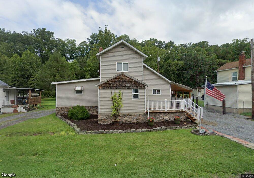
3409 Earl L Core Rd Morgantown, WV 26508
Brookhaven NeighborhoodEstimated Value: $115,000 - $205,000
2
Beds
1
Bath
1,265
Sq Ft
$131/Sq Ft
Est. Value
About This Home
This home is located at 3409 Earl L Core Rd, Morgantown, WV 26508 and is currently estimated at $165,586, approximately $130 per square foot. 3409 Earl L Core Rd is a home located in Monongalia County with nearby schools including Brookhaven Elementary School, South Middle School, and Morgantown High School.
Ownership History
Date
Name
Owned For
Owner Type
Purchase Details
Closed on
May 23, 2005
Sold by
Kopnski Thomas and Tait Mary Lou
Bought by
Weston Amanda
Current Estimated Value
Home Financials for this Owner
Home Financials are based on the most recent Mortgage that was taken out on this home.
Original Mortgage
$3,000
Outstanding Balance
$1,569
Interest Rate
5.79%
Mortgage Type
Stand Alone Second
Estimated Equity
$164,017
Create a Home Valuation Report for This Property
The Home Valuation Report is an in-depth analysis detailing your home's value as well as a comparison with similar homes in the area
Home Values in the Area
Average Home Value in this Area
Purchase History
| Date | Buyer | Sale Price | Title Company |
|---|---|---|---|
| Weston Amanda | $55,000 | None Available |
Source: Public Records
Mortgage History
| Date | Status | Borrower | Loan Amount |
|---|---|---|---|
| Open | Weston Amanda | $3,000 | |
| Open | Weston Amanda | $56,475 |
Source: Public Records
Tax History Compared to Growth
Tax History
| Year | Tax Paid | Tax Assessment Tax Assessment Total Assessment is a certain percentage of the fair market value that is determined by local assessors to be the total taxable value of land and additions on the property. | Land | Improvement |
|---|---|---|---|---|
| 2024 | $622 | $58,740 | $9,600 | $49,140 |
| 2023 | $626 | $58,740 | $9,600 | $49,140 |
| 2022 | $593 | $57,900 | $9,600 | $48,300 |
| 2021 | $329 | $31,980 | $9,600 | $22,380 |
| 2020 | $336 | $32,460 | $9,600 | $22,860 |
| 2019 | $343 | $32,880 | $9,600 | $23,280 |
| 2018 | $344 | $32,880 | $9,600 | $23,280 |
| 2017 | $566 | $53,880 | $9,060 | $44,820 |
| 2016 | $575 | $54,420 | $9,060 | $45,360 |
| 2015 | $550 | $54,420 | $9,060 | $45,360 |
| 2014 | $598 | $62,040 | $17,340 | $44,700 |
Source: Public Records
Map
Nearby Homes
- 3392 Earl L Core Rd
- 22 Eastgate Dr
- 16 Reyes Ln
- 8 Summers Ridge Rd
- 374 Brookhaven Rd
- 12 Summers Ridge Rd
- 117 Canto Dr
- 109 Trevilla Ave
- 116 Corkrean Way
- 210 Piave Ln
- 101 Summits Ridge
- 207 Josephine Dr
- 210 Josephine Dr
- 3039 Earl L Core Rd
- 118 Park Place Dr
- 36 Dellslow Ln
- Lot 6 Ices Ferry Estates
- 000 Bowers Ln
- 205 Pixler Hill Rd
- Lot 7 Brookdale Dr
- 3405 Earl L Core Rd
- 3415 Earl L Core Rd
- 3408 Earl L Core Rd
- 3399 Earl L Core Rd
- 3414 Earl L Core Rd
- 3401 Earl L Core Rd
- 3402 Earl L Core Rd
- 3398 Earl L Core Rd
- 3389 Earl L Core Rd
- 3387 Earl L Core Rd
- 3386 Earl L Core Rd
- 3381 Earl L Core Rd
- 71 Friend Dr
- 3384 Earl L Core Rd
- 75 Friend Dr
- 77 Friend Dr
- 3375 Earl L Core Rd
- 3378 Earl L Core Rd
- 68 Friend Dr
- 70 Friend Dr