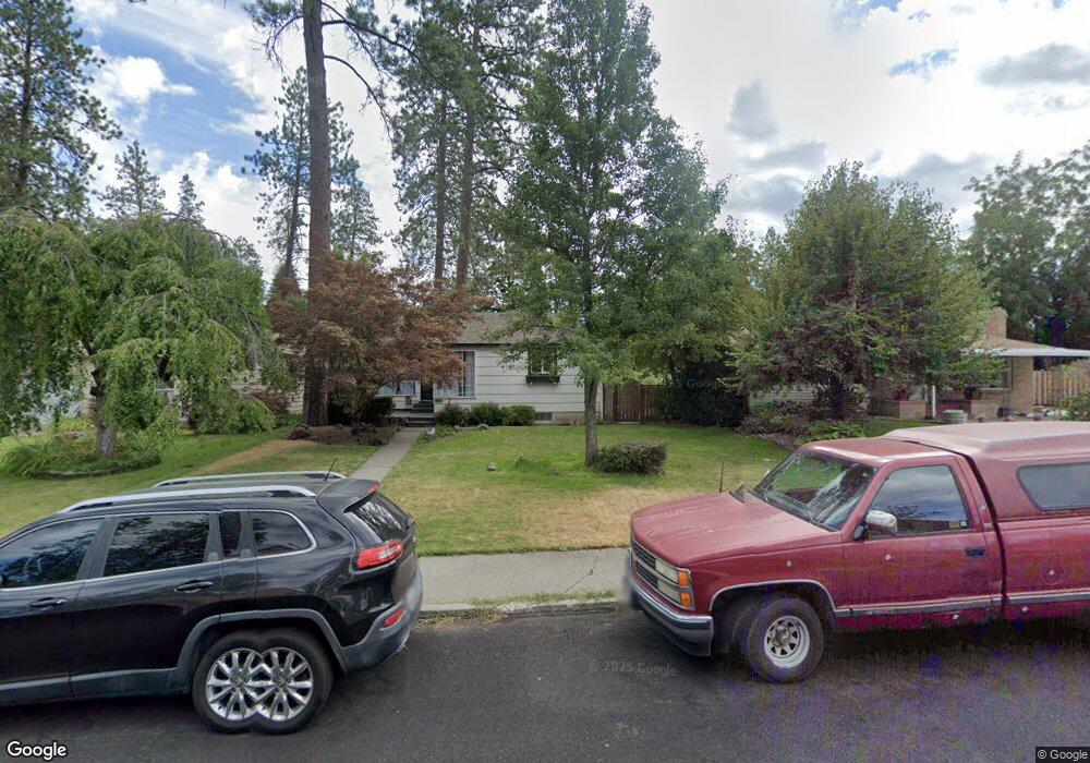
3409 S Tekoa St Spokane, WA 99203
Comstock NeighborhoodEstimated Value: $409,311 - $507,000
4
Beds
2
Baths
1,020
Sq Ft
$458/Sq Ft
Est. Value
About This Home
This home is located at 3409 S Tekoa St, Spokane, WA 99203 and is currently estimated at $467,328, approximately $458 per square foot. 3409 S Tekoa St is a home located in Spokane County with nearby schools including Jefferson Elementary School, Sacajawea Middle School, and Lewis & Clark High School.
Ownership History
Date
Name
Owned For
Owner Type
Purchase Details
Closed on
Aug 23, 2004
Sold by
Saling Gary R
Bought by
Kipp Robert and Kipp Jennifer A
Current Estimated Value
Home Financials for this Owner
Home Financials are based on the most recent Mortgage that was taken out on this home.
Original Mortgage
$121,560
Outstanding Balance
$60,080
Interest Rate
5.95%
Mortgage Type
Purchase Money Mortgage
Estimated Equity
$407,248
Purchase Details
Closed on
Dec 22, 1998
Sold by
Bohn Rebecca
Bought by
Saling Gary R
Create a Home Valuation Report for This Property
The Home Valuation Report is an in-depth analysis detailing your home's value as well as a comparison with similar homes in the area
Home Values in the Area
Average Home Value in this Area
Purchase History
| Date | Buyer | Sale Price | Title Company |
|---|---|---|---|
| Kipp Robert | $151,950 | Pacific Nw Title | |
| Saling Gary R | -- | -- |
Source: Public Records
Mortgage History
| Date | Status | Borrower | Loan Amount |
|---|---|---|---|
| Open | Kipp Robert | $121,560 | |
| Closed | Kipp Robert | $15,195 |
Source: Public Records
Tax History Compared to Growth
Tax History
| Year | Tax Paid | Tax Assessment Tax Assessment Total Assessment is a certain percentage of the fair market value that is determined by local assessors to be the total taxable value of land and additions on the property. | Land | Improvement |
|---|---|---|---|---|
| 2025 | $3,665 | $390,700 | $125,000 | $265,700 |
| 2024 | $3,665 | $369,300 | $100,000 | $269,300 |
| 2023 | $3,745 | $359,300 | $90,000 | $269,300 |
| 2022 | $3,246 | $382,900 | $81,000 | $301,900 |
| 2021 | $2,942 | $247,200 | $64,800 | $182,400 |
| 2020 | $3,059 | $247,700 | $64,800 | $182,900 |
| 2019 | $2,509 | $209,800 | $54,000 | $155,800 |
| 2018 | $2,684 | $192,900 | $50,000 | $142,900 |
| 2017 | $2,427 | $177,600 | $45,000 | $132,600 |
| 2016 | $2,266 | $162,200 | $45,000 | $117,200 |
| 2015 | $2,197 | $153,800 | $45,000 | $108,800 |
| 2014 | -- | $145,800 | $43,000 | $102,800 |
| 2013 | -- | $0 | $0 | $0 |
Source: Public Records
Map
Nearby Homes
- 3121 S Manito Blvd
- 3334 S Manito Blvd
- 3338 S Manito Blvd
- 3022 S Manito Blvd
- 3018 S Manito Blvd
- 2923 S Manito Blvd
- 106 E 29th Ave
- 3534 S Grand Blvd
- 3415 S Grand Blvd
- 19 W 29th Ave
- 814 E 32nd Ave
- 808 E 31st Ave
- 504 E 41st Ave
- 803 E 39th Ave
- 403 W 29th Ave Unit 403
- 8 W 26th Ave
- 2817 S Scott St
- 2828 S Garfield St
- 3419 S Saxon Ct
- 904 E 40th Ave
- 3403 S Tekoa St
- 3415 S Tekoa St
- 3333 S Tekoa St
- 3428 S Manito Blvd
- 3424 S Manito Blvd
- 3414 S Manito Blvd
- 3408 S Manito Blvd
- 3327 S Tekoa St
- 38 E 34th Ave
- 3420 S Manito Blvd
- 3420 S Tekoa St
- 3404 S Manito Blvd
- 3504 S Manito Blvd
- 3317 S Tekoa St
- 3322 S Manito Blvd
- 3322 S Tekoa St
- 37 E 34th Ave
- 28 E 34th Ave
- 3506 S Manito Blvd
- 3312 S Manito Blvd