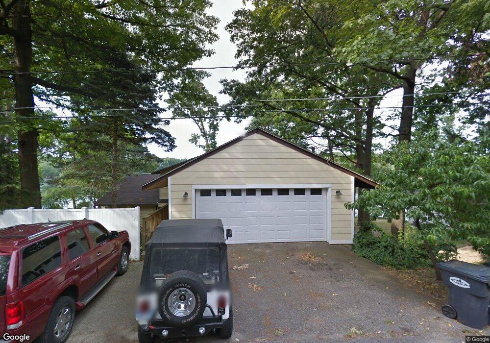
34095 Hillside Dr Paw Paw, MI 49079
Estimated Value: $470,000 - $636,000
6
Beds
4
Baths
3,663
Sq Ft
$150/Sq Ft
Est. Value
About This Home
This home is located at 34095 Hillside Dr, Paw Paw, MI 49079 and is currently estimated at $551,281, approximately $150 per square foot. 34095 Hillside Dr is a home located in Van Buren County with nearby schools including Paw Paw Early Elementary School, Paw Paw Later Elementary School, and Paw Paw Middle School.
Ownership History
Date
Name
Owned For
Owner Type
Purchase Details
Closed on
Jan 28, 2021
Sold by
Roe Kristina L
Bought by
Roe Kristina and Carlson John
Current Estimated Value
Home Financials for this Owner
Home Financials are based on the most recent Mortgage that was taken out on this home.
Original Mortgage
$90,000
Outstanding Balance
$65,561
Interest Rate
2.19%
Mortgage Type
New Conventional
Estimated Equity
$485,720
Purchase Details
Closed on
Aug 18, 2005
Sold by
Abn Amro Mortgage Group Inc
Bought by
Roe D Michael and Roe Kristine L
Home Financials for this Owner
Home Financials are based on the most recent Mortgage that was taken out on this home.
Original Mortgage
$189,150
Interest Rate
5.93%
Mortgage Type
Fannie Mae Freddie Mac
Purchase Details
Closed on
Feb 5, 2004
Sold by
Wing David B and Wing Jean A
Bought by
Abn Ambro Mortgage Group Inc
Create a Home Valuation Report for This Property
The Home Valuation Report is an in-depth analysis detailing your home's value as well as a comparison with similar homes in the area
Home Values in the Area
Average Home Value in this Area
Purchase History
| Date | Buyer | Sale Price | Title Company |
|---|---|---|---|
| Roe Kristina | -- | Accommodation | |
| Roe D Michael | $195,000 | -- | |
| Abn Ambro Mortgage Group Inc | $275,756 | -- |
Source: Public Records
Mortgage History
| Date | Status | Borrower | Loan Amount |
|---|---|---|---|
| Open | Roe Kristina | $90,000 | |
| Open | Roe Kristina | $184,000 | |
| Closed | Roe D Michael | $189,150 |
Source: Public Records
Tax History Compared to Growth
Tax History
| Year | Tax Paid | Tax Assessment Tax Assessment Total Assessment is a certain percentage of the fair market value that is determined by local assessors to be the total taxable value of land and additions on the property. | Land | Improvement |
|---|---|---|---|---|
| 2025 | $1,361 | $287,700 | $0 | $0 |
| 2024 | $1,361 | $250,800 | $0 | $0 |
| 2023 | $1,296 | $205,400 | $0 | $0 |
| 2022 | $4,278 | $176,000 | $0 | $0 |
| 2021 | $4,153 | $162,100 | $65,100 | $97,000 |
| 2020 | $3,905 | $140,400 | $65,100 | $75,300 |
| 2019 | $3,729 | $138,300 | $138,300 | $0 |
| 2018 | $3,646 | $141,400 | $141,400 | $0 |
| 2017 | $3,550 | $104,000 | $0 | $0 |
| 2016 | $3,528 | $105,200 | $0 | $0 |
| 2015 | $3,268 | $105,200 | $0 | $0 |
| 2014 | $3,293 | $111,858 | $0 | $0 |
| 2013 | -- | $109,900 | $109,900 | $0 |
Source: Public Records
Map
Nearby Homes
- 51361 Summit St
- 51765 Easy St
- 52700 Ackley Terrace
- 729 Heritage Woods Ln
- 33250 Bernice Ave
- V/L 35 1 2 St
- 32966 Crescent Dr
- 642 N Kalamazoo St
- 0 Drew St
- 510 Cedar St
- 210 Drew St
- 514 N Kalamazoo St
- V/L Elm St
- 403 Elm St
- VL Cr-665 Rd
- 309 N Gremps St
- 119 Elm St
- 28639 Michigan 40
- 501 E Paw St
- 201 E Michigan Ave Unit 2C
- 34095 Hillside Dr
- 34055 Hillside Dr
- 34119 Hillside Dr
- 34149 Hillside Dr
- 51041 Barber St
- 34090 Hillside Dr
- 34120 Hillside Dr
- 50979 Barber St
- 34138 Hillside Dr
- 34175 Hillside Dr
- 34193 Hillside Dr
- 50907 Barber St
- 50884 Barber St
- 6 Hillside Dr
- 999 Hillside Dr
- 9999 Hillside Dr
- 111111 Hillside Dr
- 707 Hillside Dr
- 34217 Hillside Dr
- 34150 Hillside Dr