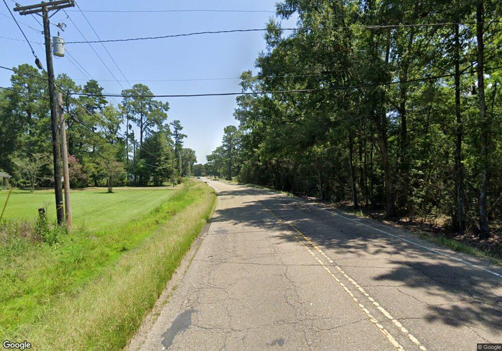
34095 La Hwy 1019 Denham Springs, LA 70706
Estimated Value: $168,000 - $187,084
2
Beds
1
Bath
1,407
Sq Ft
$126/Sq Ft
Est. Value
About This Home
This home is located at 34095 La Hwy 1019, Denham Springs, LA 70706 and is currently estimated at $176,771, approximately $125 per square foot. 34095 La Hwy 1019 is a home located in Livingston Parish with nearby schools including South Live Oak Elementary School, Live Oak Middle School, and Live Oak High School.
Ownership History
Date
Name
Owned For
Owner Type
Purchase Details
Closed on
May 23, 2022
Sold by
Joseph Bourgeois Robert
Bought by
Cleveland Heather Michelle
Current Estimated Value
Home Financials for this Owner
Home Financials are based on the most recent Mortgage that was taken out on this home.
Original Mortgage
$118,400
Outstanding Balance
$112,477
Interest Rate
5.25%
Mortgage Type
New Conventional
Estimated Equity
$64,294
Create a Home Valuation Report for This Property
The Home Valuation Report is an in-depth analysis detailing your home's value as well as a comparison with similar homes in the area
Home Values in the Area
Average Home Value in this Area
Purchase History
| Date | Buyer | Sale Price | Title Company |
|---|---|---|---|
| Cleveland Heather Michelle | $149,900 | None Listed On Document |
Source: Public Records
Mortgage History
| Date | Status | Borrower | Loan Amount |
|---|---|---|---|
| Open | Cleveland Heather Michelle | $118,400 |
Source: Public Records
Tax History Compared to Growth
Tax History
| Year | Tax Paid | Tax Assessment Tax Assessment Total Assessment is a certain percentage of the fair market value that is determined by local assessors to be the total taxable value of land and additions on the property. | Land | Improvement |
|---|---|---|---|---|
| 2024 | $1,993 | $17,558 | $3,660 | $13,898 |
| 2023 | $1,646 | $12,600 | $2,820 | $9,780 |
| 2022 | $1,657 | $12,600 | $2,820 | $9,780 |
| 2021 | $1,472 | $12,600 | $2,820 | $9,780 |
| 2020 | $1,465 | $12,600 | $2,820 | $9,780 |
| 2019 | $1,139 | $9,430 | $1,170 | $8,260 |
| 2018 | $1,153 | $9,430 | $1,170 | $8,260 |
| 2017 | $890 | $7,070 | $1,170 | $5,900 |
| 2015 | $32 | $7,070 | $1,170 | $5,900 |
| 2014 | $32 | $7,070 | $1,170 | $5,900 |
Source: Public Records
Map
Nearby Homes
- 7455 Thames Dr
- 7282 Riverbank Dr
- 7234 Riverbank Dr
- Lot A1A Riverbank Dr
- Lot 10 Riverbank Dr
- Lot 5 Riverbank Dr
- 7382 Lake Meadow Dr
- 7222 Riverbank Dr
- Lot 3 Riverbank Dr
- TBD Hickory Ridge Dr
- 7233 Riverbank Dr
- 7258 Riverbank Dr
- 7257 Riverbank Dr
- 7618 Thames Dr
- 7210 Riverbank Dr
- 7128 Chandler Bluff Rd
- 6987 Chandler Bluff Rd
- 33874 Cedar Ridge Ct
- 7401 Homer Knost Rd
- 7736 River Ridge Dr
- 34095 La Highway 1019
- Lot 1 Odom Graves Ln
- 34138 La Hwy 1019
- 34138 La Highway 1019
- 34138 La Highway 1019
- 34063 La Highway 1019
- 34090 La Highway 1019
- 34080 La Highway 1019
- 34162 La Hwy 1019
- 34162 La Highway 1019
- 11 Thames Dr
- 7425 Thames Dr
- 7425 Thames Dr
- 34116 La Highway 1019
- 34128 La Hwy 1019
- 34116 La Hwy 1019
- 34128 La Highway 1019
- 34116 La Highway 1019
- 7350 Odom Graves Ln
- 7412 Springfield Place Ln
