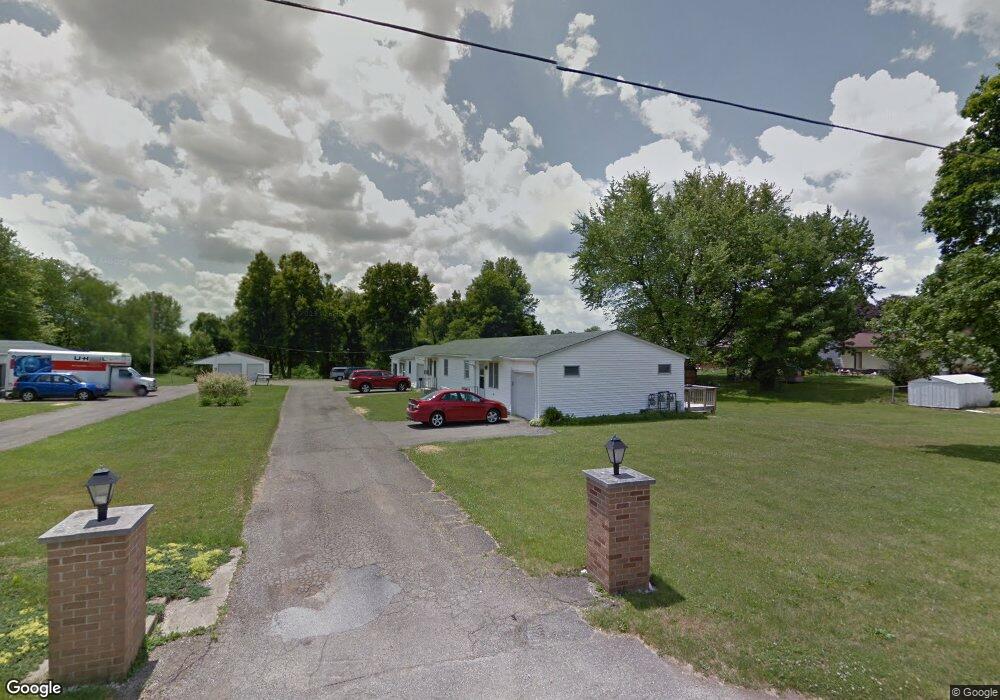
341 Apple Ln Unit 345 Mansfield, OH 44905
Estimated Value: $211,000 - $293,000
6
Beds
3
Baths
2,340
Sq Ft
$108/Sq Ft
Est. Value
About This Home
This home is located at 341 Apple Ln Unit 345, Mansfield, OH 44905 and is currently estimated at $252,098, approximately $107 per square foot. 341 Apple Ln Unit 345 is a home located in Richland County with nearby schools including Madison High School, Temple-Christian School, and St. Mary Catholic School.
Ownership History
Date
Name
Owned For
Owner Type
Purchase Details
Closed on
Jan 28, 2020
Sold by
Boyle Donald E and Boyle Kathleen M
Bought by
Boyle Kathleen M
Current Estimated Value
Purchase Details
Closed on
Jan 31, 2008
Sold by
Harp Patrick R and Harp Ronda A
Bought by
Boyle Kathleen M and Boyle Donald E
Home Financials for this Owner
Home Financials are based on the most recent Mortgage that was taken out on this home.
Original Mortgage
$100,725
Interest Rate
6.22%
Mortgage Type
Purchase Money Mortgage
Purchase Details
Closed on
Jan 7, 2004
Sold by
Harp Ronda A
Bought by
Harp Patrick R
Home Financials for this Owner
Home Financials are based on the most recent Mortgage that was taken out on this home.
Original Mortgage
$63,400
Interest Rate
5.94%
Mortgage Type
Purchase Money Mortgage
Purchase Details
Closed on
Jun 1, 1987
Create a Home Valuation Report for This Property
The Home Valuation Report is an in-depth analysis detailing your home's value as well as a comparison with similar homes in the area
Home Values in the Area
Average Home Value in this Area
Purchase History
| Date | Buyer | Sale Price | Title Company |
|---|---|---|---|
| Boyle Kathleen M | -- | Hawkins Title Research | |
| Boyle Kathleen M | $118,500 | Southern Title | |
| Harp Patrick R | -- | American Mid Ohio Title Agen | |
| -- | $90,100 | -- |
Source: Public Records
Mortgage History
| Date | Status | Borrower | Loan Amount |
|---|---|---|---|
| Closed | Boyle Kathleen M | $100,725 | |
| Closed | Harp Patrick R | $63,400 | |
| Closed | Harp Patrick R | $63,400 |
Source: Public Records
Tax History Compared to Growth
Tax History
| Year | Tax Paid | Tax Assessment Tax Assessment Total Assessment is a certain percentage of the fair market value that is determined by local assessors to be the total taxable value of land and additions on the property. | Land | Improvement |
|---|---|---|---|---|
| 2024 | $2,446 | $49,350 | $11,460 | $37,890 |
| 2023 | $2,446 | $49,350 | $11,460 | $37,890 |
| 2022 | $2,081 | $37,190 | $10,240 | $26,950 |
| 2021 | $2,080 | $37,190 | $10,240 | $26,950 |
| 2020 | $2,096 | $37,190 | $10,240 | $26,950 |
| 2019 | $1,998 | $31,520 | $8,680 | $22,840 |
| 2018 | $1,872 | $31,520 | $8,680 | $22,840 |
| 2017 | $2,255 | $44,840 | $8,680 | $36,160 |
| 2016 | $1,902 | $31,610 | $9,730 | $21,880 |
| 2015 | $1,816 | $31,610 | $9,730 | $21,880 |
| 2014 | $1,809 | $31,610 | $9,730 | $21,880 |
| 2012 | $899 | $33,270 | $10,240 | $23,030 |
Source: Public Records
Map
Nearby Homes
- 1628 Park Ave E
- 419 N Mcelroy Rd
- 155 Ford Rd N
- 155 Ford Rd N Unit Lot 30
- 1303 Park Ave E
- 0 Mcelroy Rd
- 76 Ford Rd N
- 76 Ford Rd N Unit 20
- 632 Coachman Rd
- 641 Laver Rd
- 602 Champion Rd
- 671 Coachman Rd
- 536 Gordon Rd
- 1226 Evergreen Ave W
- 1282 Redman Ave
- 644 Skyline Rd
- 683 Coachman Rd
- 291 Stewart Rd N
- 36 Ridge Rd S
- 1199 Evergreen Ave W