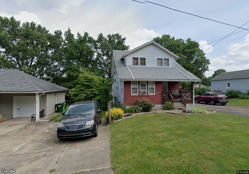
341 E Huston St Barberton, OH 44203
East Barberton NeighborhoodEstimated Value: $152,000 - $196,000
3
Beds
2
Baths
1,524
Sq Ft
$108/Sq Ft
Est. Value
About This Home
This home is located at 341 E Huston St, Barberton, OH 44203 and is currently estimated at $164,350, approximately $107 per square foot. 341 E Huston St is a home located in Summit County with nearby schools including Barberton Intermediate School 3-5, Barberton Middle School, and Barberton High School.
Ownership History
Date
Name
Owned For
Owner Type
Purchase Details
Closed on
Apr 19, 2006
Sold by
Killian Barbara A
Bought by
Mitchell Mark P
Current Estimated Value
Home Financials for this Owner
Home Financials are based on the most recent Mortgage that was taken out on this home.
Original Mortgage
$86,317
Outstanding Balance
$49,946
Interest Rate
6.48%
Mortgage Type
FHA
Estimated Equity
$114,404
Create a Home Valuation Report for This Property
The Home Valuation Report is an in-depth analysis detailing your home's value as well as a comparison with similar homes in the area
Home Values in the Area
Average Home Value in this Area
Purchase History
| Date | Buyer | Sale Price | Title Company |
|---|---|---|---|
| Mitchell Mark P | $87,000 | None Available |
Source: Public Records
Mortgage History
| Date | Status | Borrower | Loan Amount |
|---|---|---|---|
| Open | Mitchell Mark P | $86,317 |
Source: Public Records
Tax History
| Year | Tax Paid | Tax Assessment Tax Assessment Total Assessment is a certain percentage of the fair market value that is determined by local assessors to be the total taxable value of land and additions on the property. | Land | Improvement |
|---|---|---|---|---|
| 2024 | $2,021 | $40,454 | $7,802 | $32,652 |
| 2023 | $2,021 | $40,454 | $7,802 | $32,652 |
| 2022 | $1,586 | $27,517 | $5,306 | $22,211 |
| 2021 | $1,584 | $27,517 | $5,306 | $22,211 |
| 2020 | $1,550 | $27,520 | $5,310 | $22,210 |
| 2019 | $1,598 | $25,700 | $5,240 | $20,460 |
| 2018 | $1,574 | $25,700 | $5,240 | $20,460 |
| 2017 | $1,595 | $25,700 | $5,240 | $20,460 |
| 2016 | $1,598 | $25,700 | $5,240 | $20,460 |
| 2015 | $1,595 | $25,700 | $5,240 | $20,460 |
| 2014 | $1,586 | $25,700 | $5,240 | $20,460 |
| 2013 | $1,536 | $25,800 | $5,240 | $20,560 |
Source: Public Records
Map
Nearby Homes
- 349 E Hopocan Ave
- 332 Lincoln Ave
- 175 2nd St NE Unit 177
- 492 E Hopocan Ave
- 341 6th St NE
- 304 E Tuscarawas Ave
- 46 Brown St
- 524 Jefferson Ave
- 526 Wooster Rd N
- 279 E Baird Ave
- 613 Wooster Rd N
- 485 Lloyd St
- 0 Wooster Rd N
- 491 Taft Ave
- 298 E Ford Ave
- 194 E Baird Ave
- 604 Jefferson Ave
- 507 E Ford Ave
- 627 Lincoln Ave
- 217 W Summit St
- 341 E Huston St
- 349 E Huston St
- 335 E Huston St
- 353 E Huston St
- 344 Washington Ave
- 342 Washington Ave
- 350 Washington Ave
- 336 Washington Ave
- 357 E Huston St
- 327 E Huston St
- 336 E Huston St
- 332 Washington Ave
- 354 Washington Ave
- 323 E Huston St
- 328 Washington Ave
- 358 Washington Ave
- 354 E Huston St
- 330 E Huston St
- 365 E Huston St
- 322 Washington Ave
Your Personal Tour Guide
Ask me questions while you tour the home.