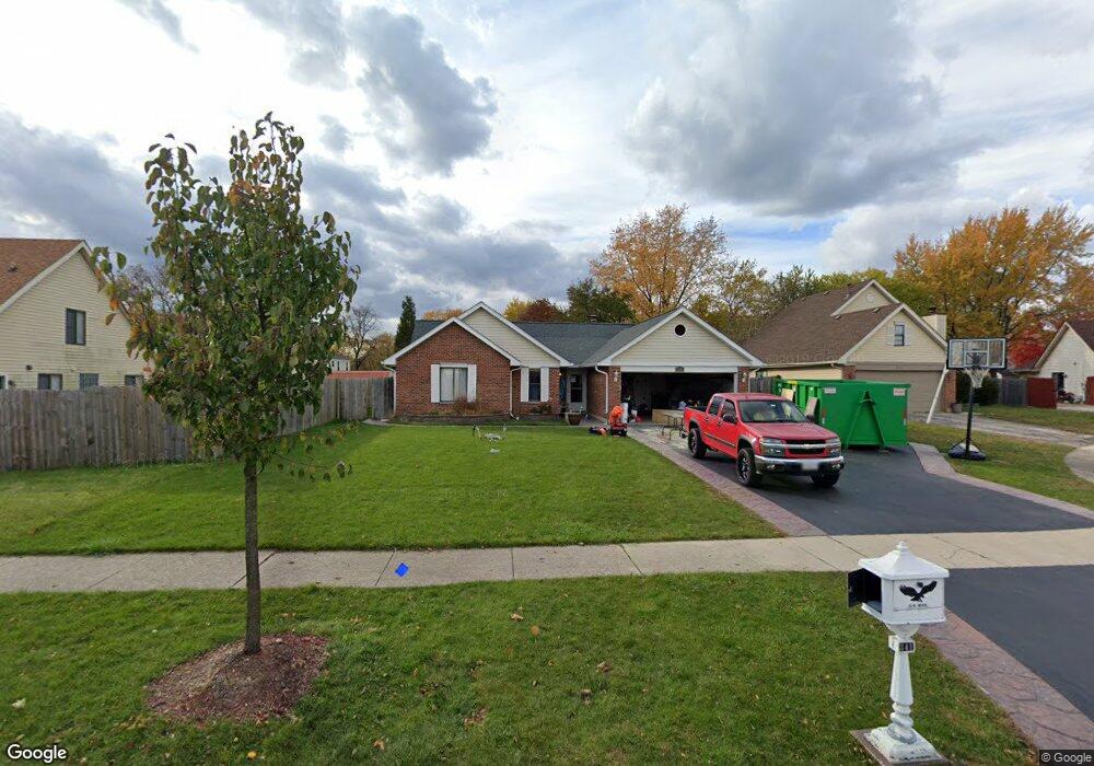
341 Forest Ct Bolingbrook, IL 60440
East Bolingbrook NeighborhoodEstimated Value: $318,416 - $373,000
4
Beds
2
Baths
1,506
Sq Ft
$232/Sq Ft
Est. Value
About This Home
This home is located at 341 Forest Ct, Bolingbrook, IL 60440 and is currently estimated at $349,604, approximately $232 per square foot. 341 Forest Ct is a home located in Will County with nearby schools including Jonas E Salk Elementary School, Hubert H Humphrey Middle School, and Bolingbrook High School.
Ownership History
Date
Name
Owned For
Owner Type
Purchase Details
Closed on
Mar 27, 2003
Sold by
Secrist Shirley S
Bought by
Garay Jose Raul
Current Estimated Value
Home Financials for this Owner
Home Financials are based on the most recent Mortgage that was taken out on this home.
Original Mortgage
$175,249
Outstanding Balance
$75,065
Interest Rate
5.71%
Mortgage Type
FHA
Estimated Equity
$274,539
Purchase Details
Closed on
Apr 9, 2001
Sold by
Secrist Thomas R
Bought by
Secrist Shirley S
Create a Home Valuation Report for This Property
The Home Valuation Report is an in-depth analysis detailing your home's value as well as a comparison with similar homes in the area
Home Values in the Area
Average Home Value in this Area
Purchase History
| Date | Buyer | Sale Price | Title Company |
|---|---|---|---|
| Garay Jose Raul | $178,000 | -- | |
| Secrist Shirley S | -- | -- |
Source: Public Records
Mortgage History
| Date | Status | Borrower | Loan Amount |
|---|---|---|---|
| Open | Garay Jose Raul | $175,249 |
Source: Public Records
Tax History
| Year | Tax Paid | Tax Assessment Tax Assessment Total Assessment is a certain percentage of the fair market value that is determined by local assessors to be the total taxable value of land and additions on the property. | Land | Improvement |
|---|---|---|---|---|
| 2024 | $7,749 | $91,904 | $18,066 | $73,838 |
| 2023 | $7,749 | $82,692 | $16,255 | $66,437 |
| 2022 | $6,756 | $74,351 | $14,655 | $59,696 |
| 2021 | $6,395 | $69,520 | $13,703 | $55,817 |
| 2020 | $6,194 | $67,234 | $13,252 | $53,982 |
| 2019 | $5,987 | $64,032 | $12,621 | $51,411 |
| 2018 | $5,742 | $61,287 | $12,080 | $49,207 |
| 2017 | $5,460 | $58,092 | $11,450 | $46,642 |
| 2016 | $5,219 | $54,600 | $10,200 | $44,400 |
| 2015 | $4,872 | $52,400 | $9,800 | $42,600 |
| 2014 | $4,872 | $49,900 | $9,300 | $40,600 |
| 2013 | $4,872 | $62,300 | $11,600 | $50,700 |
Source: Public Records
Map
Nearby Homes
- 473 Rockhurst Rd
- 317 Homestead Dr
- 446 Galahad Rd
- 320 Homestead Dr
- 564 White Oak Rd
- 271 Stonegate Rd
- 157 Vernon Dr Unit 6
- 244 Stonegate Rd
- 207 Seabury Rd
- 220 N Ashbury Ave
- 124 Seabury Rd
- 428 N Ashbury Ave
- 409 N Ashbury Ave
- 325 Rockhurst Rd
- 598 Miner Dr
- 505 Goodwin Dr
- 219 Monterey Dr
- 424 Van Gogh Cir Unit 1
- 492 Ridge Ln
- 490 Ridge Ln
Your Personal Tour Guide
Ask me questions while you tour the home.