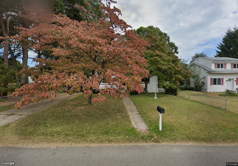
341 Harvey Ave Wenonah, NJ 08090
Deptford Township NeighborhoodEstimated Value: $259,152 - $336,000
--
Bed
--
Bath
1,008
Sq Ft
$290/Sq Ft
Est. Value
About This Home
This home is located at 341 Harvey Ave, Wenonah, NJ 08090 and is currently estimated at $292,538, approximately $290 per square foot. 341 Harvey Ave is a home located in Gloucester County with nearby schools including Deptford Township High School and St Margaret Regional School.
Ownership History
Date
Name
Owned For
Owner Type
Purchase Details
Closed on
Aug 27, 2001
Sold by
Calarco Joseph D and Calarco Rita T
Bought by
Smyth Tammi P
Current Estimated Value
Home Financials for this Owner
Home Financials are based on the most recent Mortgage that was taken out on this home.
Original Mortgage
$96,374
Outstanding Balance
$37,581
Interest Rate
6.99%
Mortgage Type
FHA
Estimated Equity
$254,957
Create a Home Valuation Report for This Property
The Home Valuation Report is an in-depth analysis detailing your home's value as well as a comparison with similar homes in the area
Home Values in the Area
Average Home Value in this Area
Purchase History
| Date | Buyer | Sale Price | Title Company |
|---|---|---|---|
| Smyth Tammi P | $97,900 | -- |
Source: Public Records
Mortgage History
| Date | Status | Borrower | Loan Amount |
|---|---|---|---|
| Open | Smyth Tammi P | $96,374 |
Source: Public Records
Tax History Compared to Growth
Tax History
| Year | Tax Paid | Tax Assessment Tax Assessment Total Assessment is a certain percentage of the fair market value that is determined by local assessors to be the total taxable value of land and additions on the property. | Land | Improvement |
|---|---|---|---|---|
| 2025 | $4,632 | $129,200 | $40,400 | $88,800 |
| 2024 | $4,483 | $129,200 | $40,400 | $88,800 |
| 2023 | $4,483 | $129,200 | $40,400 | $88,800 |
| 2022 | $4,451 | $129,200 | $40,400 | $88,800 |
| 2021 | $4,112 | $129,000 | $40,400 | $88,600 |
| 2020 | $4,331 | $129,000 | $40,400 | $88,600 |
| 2019 | $4,248 | $129,000 | $40,400 | $88,600 |
| 2018 | $4,153 | $129,000 | $40,400 | $88,600 |
| 2017 | $4,042 | $129,000 | $40,400 | $88,600 |
| 2016 | $3,959 | $129,000 | $40,400 | $88,600 |
| 2015 | $3,836 | $129,000 | $40,400 | $88,600 |
| 2014 | $3,737 | $129,000 | $40,400 | $88,600 |
Source: Public Records
Map
Nearby Homes
- 707 Howard Ave
- 315 Ogden Station Rd
- 8 W Buttonwood St
- 1 W Buttonwood St
- 114 Buddy Powell Ln
- 916 Georgetown Rd
- 513 N East Ave
- 199 Ogden Station Rd
- 3 E Mantua Ave
- 579 Lehigh Rd
- 125 Ivy Ln
- 261 Wenonah Way
- 112 Norris St
- 108 S Clinton Ave
- 111 Cove Rd
- 1 4th Ave
- 122 Turner St
- 629 Vassar Rd
- 505 University Blvd
- 0 Glassboro Rd