Estimated Value: $294,303 - $306,000
3
Beds
2
Baths
2,000
Sq Ft
$150/Sq Ft
Est. Value
About This Home
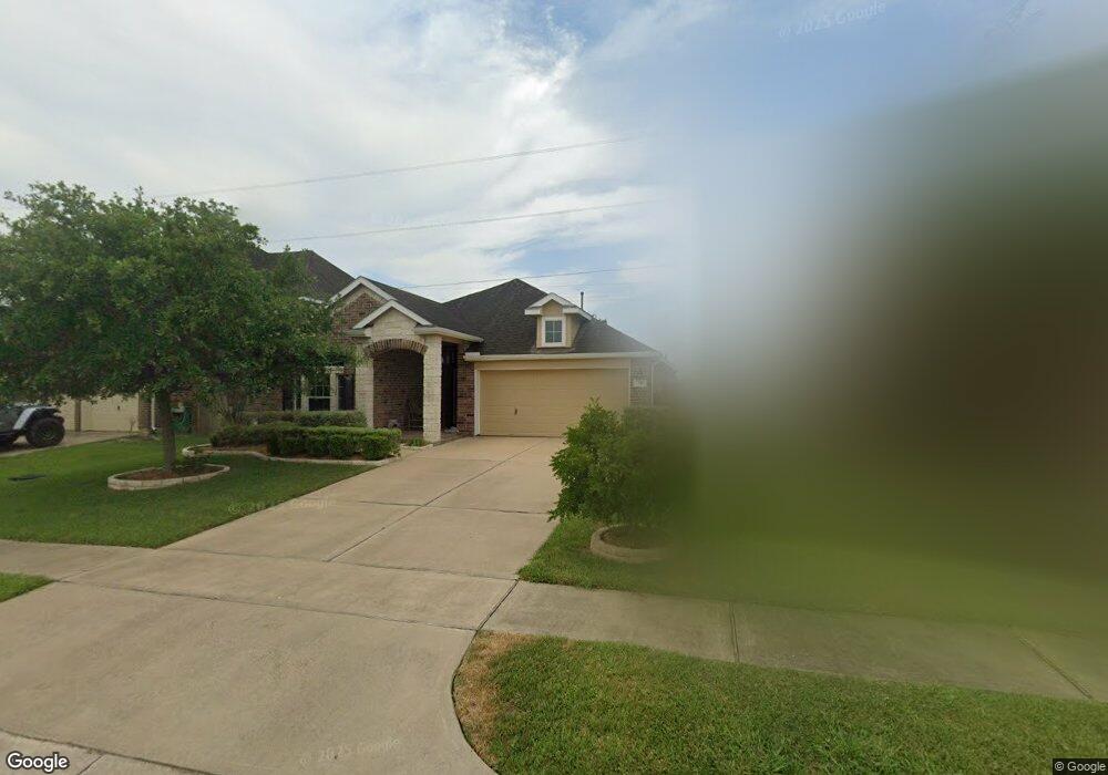
This home is located at 341 Lake Line Dr, Alvin, TX 77511 and is currently estimated at $300,576, approximately $150 per square foot. 341 Lake Line Dr is a home located in Brazoria County with nearby schools including Mark Twain Elementary School, G.W. Harby Junior High School, and Alvin High School.
Ownership History
Date
Name
Owned For
Owner Type
Purchase Details
Closed on
Sep 25, 2013
Sold by
K Hovnanian Of Houston Ii Llc
Bought by
Carnahan Douglas Brian and Carnahan Cecilia M
Current Estimated Value
Home Financials for this Owner
Home Financials are based on the most recent Mortgage that was taken out on this home.
Original Mortgage
$134,400
Outstanding Balance
$100,834
Interest Rate
4.46%
Mortgage Type
New Conventional
Estimated Equity
$199,742
Create a Home Valuation Report for This Property
The Home Valuation Report is an in-depth analysis detailing your home's value as well as a comparison with similar homes in the area
Home Values in the Area
Average Home Value in this Area
Purchase History
| Date | Buyer | Sale Price | Title Company |
|---|---|---|---|
| Carnahan Douglas Brian | -- | None Available |
Source: Public Records
Mortgage History
| Date | Status | Borrower | Loan Amount |
|---|---|---|---|
| Open | Carnahan Douglas Brian | $134,400 |
Source: Public Records
Tax History Compared to Growth
Tax History
| Year | Tax Paid | Tax Assessment Tax Assessment Total Assessment is a certain percentage of the fair market value that is determined by local assessors to be the total taxable value of land and additions on the property. | Land | Improvement |
|---|---|---|---|---|
| 2025 | $7,376 | $310,810 | $61,230 | $249,580 |
| 2023 | $7,376 | $269,753 | $61,230 | $229,660 |
| 2022 | $8,419 | $245,230 | $35,360 | $209,870 |
| 2021 | $7,999 | $223,000 | $35,360 | $187,640 |
| 2020 | $8,055 | $222,100 | $35,360 | $186,740 |
| 2019 | $7,889 | $213,000 | $24,290 | $188,710 |
| 2018 | $7,500 | $202,200 | $24,290 | $177,910 |
| 2017 | $7,382 | $197,000 | $24,290 | $172,710 |
| 2016 | $7,120 | $190,000 | $24,290 | $165,710 |
| 2014 | $5,960 | $168,990 | $25,300 | $143,690 |
Source: Public Records
Map
Nearby Homes
- 349 Lake Line Dr
- 4706 Alluvial Cir
- 4724 Alluvial Cir
- 4738 Alluvial Cir
- 310 Kendall Crest Dr
- 726 Rim Water Dr
- 334 Kendall Crest Dr
- 340 Kendall Crest Dr
- 5307 Camerford Ct
- 350 Selah Ct
- 5307 Cascade Ct
- 356 Selah Ct
- 5318 Latigo Ct
- Madison Plan at Kendall Lakes
- Avery Plan at Kendall Lakes
- Elias Plan at Skyview
- Christina Plan at Kendall Lakes
- Rev Plan at Skyview
- Trenton Plan at Kendall Lakes
- 5320 Latigo Ct
- 339 Lake Line Dr
- 343 Lake Line Dr
- 337 Lake Line Dr
- 345 Lake Line Dr
- 4701 High Creek Ct
- 4700 High Creek Ct
- 335 Lake Line Dr
- 347 Lake Line Dr
- 4703 High Creek Ct
- 333 Lake Line Dr
- 4700 Lake Rim Dr
- 4702 High Creek Ct
- 4702 Lake Rim Dr
- 4705 High Creek Ct
- 331 Lake Line Dr
- 351 Lake Line Dr
- 4704 High Creek Ct
- 4701 Lake Line Ct
- 4704 Lake Rim Dr
- 4703 Lake Line Ct