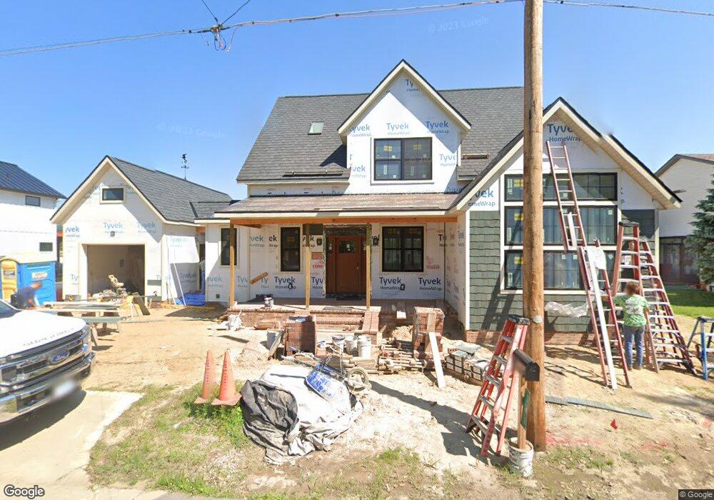
341 Oak Dr La Porte, IN 46350
Estimated Value: $538,000 - $952,000
3
Beds
3
Baths
2,872
Sq Ft
$275/Sq Ft
Est. Value
About This Home
This home is located at 341 Oak Dr, La Porte, IN 46350 and is currently estimated at $790,907, approximately $275 per square foot. 341 Oak Dr is a home located in LaPorte County with nearby schools including Prescott Elementary School, F. Willard Crichfield Elementary School, and La Porte High School.
Ownership History
Date
Name
Owned For
Owner Type
Purchase Details
Closed on
Jun 8, 2023
Sold by
Dorcie D Lange 2008 Revocable Trust
Bought by
Johnson Aaron and Johnson Megan
Current Estimated Value
Purchase Details
Closed on
Sep 28, 2021
Sold by
Raynor Louise E
Bought by
Dorcie D Lange 2008 Trust
Purchase Details
Closed on
Jun 22, 2021
Sold by
Raynor Richard J and Raynor Benjamin T
Bought by
Raynor Louis E
Purchase Details
Closed on
Nov 19, 2020
Sold by
Raynor Louise E
Bought by
Raynor William S and Raynor Benjamin T
Create a Home Valuation Report for This Property
The Home Valuation Report is an in-depth analysis detailing your home's value as well as a comparison with similar homes in the area
Home Values in the Area
Average Home Value in this Area
Purchase History
| Date | Buyer | Sale Price | Title Company |
|---|---|---|---|
| Johnson Aaron | -- | None Listed On Document | |
| Dorcie D Lange 2008 Trust | -- | None Available | |
| Raynor Louis E | -- | None Available | |
| Raynor William S | -- | None Available | |
| Raynor Louise E | -- | None Available |
Source: Public Records
Tax History Compared to Growth
Tax History
| Year | Tax Paid | Tax Assessment Tax Assessment Total Assessment is a certain percentage of the fair market value that is determined by local assessors to be the total taxable value of land and additions on the property. | Land | Improvement |
|---|---|---|---|---|
| 2024 | $3,705 | $529,500 | $160,200 | $369,300 |
| 2022 | $9,191 | $472,600 | $186,300 | $286,300 |
| 2021 | $4,476 | $447,600 | $186,300 | $261,300 |
| 2020 | $4,124 | $447,600 | $186,300 | $261,300 |
| 2019 | $4,172 | $412,400 | $186,300 | $226,100 |
| 2018 | $3,221 | $317,300 | $124,700 | $192,600 |
| 2017 | $3,181 | $313,300 | $124,700 | $188,600 |
| 2016 | $4,089 | $404,100 | $201,300 | $202,800 |
| 2014 | $3,869 | $386,900 | $201,300 | $185,600 |
Source: Public Records
Map
Nearby Homes
- 17 Elm Dr
- 54 Dogwood Dr
- 225 Holton Rd
- 0 N 400 W Unit NRA544762
- 3069 N Morning Glory Ave
- 3067 N Morning Glory Ave
- 0 W Lot 81 Concord Dr Unit NRA809376
- 0 W 450 St N Unit NRA827579
- 842-Lot 59 W Broken Arrow Dr
- 0 N Us Hwy 35 Unit NRA809471
- 0 Pawnee Trail Unit NRA824498
- 6877 N Nature Ln
- 0 W Lot 38 Malaga Dr Unit NRA809384
- 216 Holton Rd
- 306 Outlook Cove Dr
- 206 Outlook Cove Dr
- 410 Closser Ave
- 683 Waverly Rd
- 208 Ardmore Ave
- 610 Home St