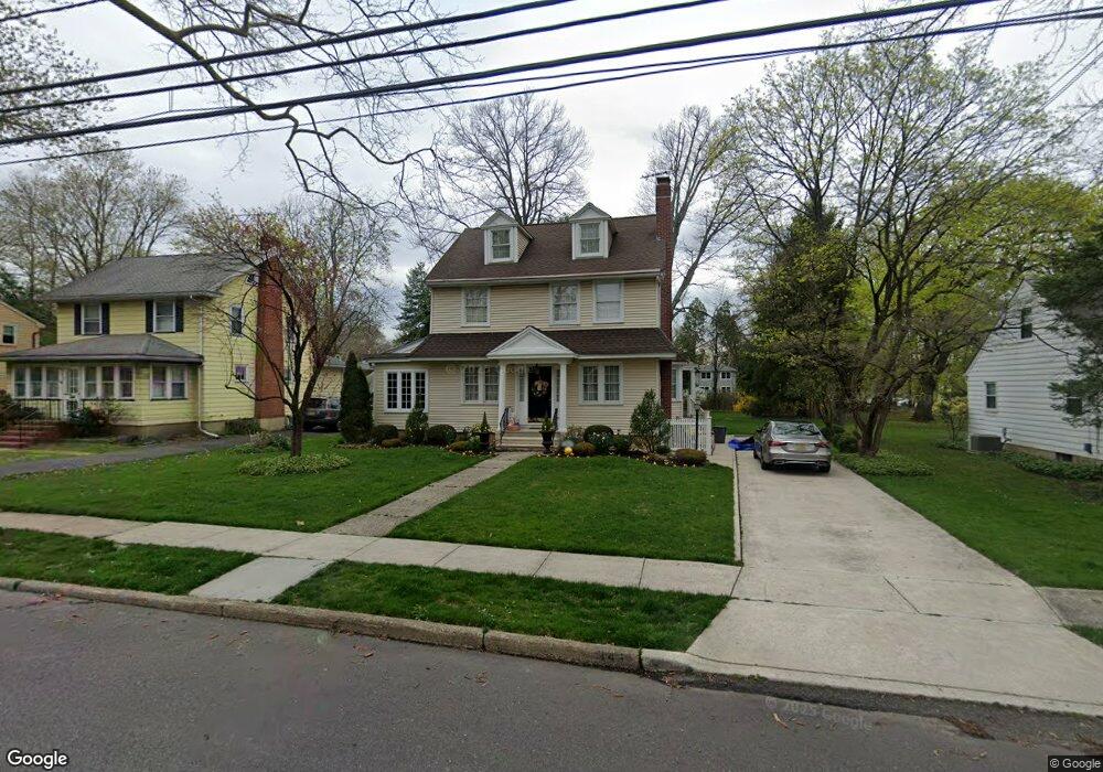
341 W 3rd St Moorestown, NJ 08057
Estimated Value: $690,786 - $807,000
--
Bed
--
Bath
3,053
Sq Ft
$242/Sq Ft
Est. Value
About This Home
This home is located at 341 W 3rd St, Moorestown, NJ 08057 and is currently estimated at $738,947, approximately $242 per square foot. 341 W 3rd St is a home located in Burlington County with nearby schools including George C. Baker Elementary School, Moorestown Upper Elementary School, and William Allen Middle School.
Ownership History
Date
Name
Owned For
Owner Type
Purchase Details
Closed on
Nov 7, 2024
Sold by
Dangelo Stephen J and Dangelo Beatrice M
Bought by
Stephen And Beatrice Dangelo Living Trust and Dangelo
Current Estimated Value
Purchase Details
Closed on
Feb 15, 2001
Sold by
Dangelo Stephen J and Dangelo Beatrice
Bought by
Dangelo Stephen J and Dangelo Beatrice M
Create a Home Valuation Report for This Property
The Home Valuation Report is an in-depth analysis detailing your home's value as well as a comparison with similar homes in the area
Home Values in the Area
Average Home Value in this Area
Purchase History
| Date | Buyer | Sale Price | Title Company |
|---|---|---|---|
| Stephen And Beatrice Dangelo Living Trust | -- | None Listed On Document | |
| Stephen And Beatrice Dangelo Living Trust | -- | None Listed On Document | |
| Dangelo Stephen J | -- | -- |
Source: Public Records
Tax History Compared to Growth
Tax History
| Year | Tax Paid | Tax Assessment Tax Assessment Total Assessment is a certain percentage of the fair market value that is determined by local assessors to be the total taxable value of land and additions on the property. | Land | Improvement |
|---|---|---|---|---|
| 2025 | $10,562 | $372,300 | $116,600 | $255,700 |
| 2024 | $10,242 | $372,300 | $116,600 | $255,700 |
| 2023 | $10,242 | $372,300 | $116,600 | $255,700 |
| 2022 | $10,138 | $372,300 | $116,600 | $255,700 |
| 2021 | $10,004 | $372,300 | $116,600 | $255,700 |
| 2020 | $9,940 | $372,300 | $116,600 | $255,700 |
| 2019 | $9,765 | $372,300 | $116,600 | $255,700 |
| 2018 | $9,501 | $372,300 | $116,600 | $255,700 |
| 2017 | $9,583 | $372,300 | $116,600 | $255,700 |
| 2016 | $9,550 | $372,300 | $116,600 | $255,700 |
| 2015 | $9,434 | $372,300 | $116,600 | $255,700 |
| 2014 | $8,958 | $372,300 | $116,600 | $255,700 |
Source: Public Records
Map
Nearby Homes
- 313 Fairview Ave
- 316 W 3rd St
- 493 N Church St
- 308 Farmdale Rd
- 423 Park Blvd
- 316 Farmdale Rd
- 4 W Close
- 531 Covington Terrace
- 600 Stratford Dr
- 543 Bethel Ave
- 601 Stratford Dr
- 129 S Church St
- 308 Kenwood Dr
- 15 E 2nd St
- 310 S Washington Ave
- 50 E 3rd St
- 66 E 3rd St
- 709 Manor Terrace
- 4 E Sutton Ave
- 82 E 3rd St
- 345 W 3rd St
- 337 W 3rd St
- 347 W 3rd St
- 335 W 3rd St
- 340 W 3rd St
- 210 Mannion Ave Unit B
- 210 Mannion Ave
- 349 W 3rd St
- 305 Fairview Ave
- 331 W 3rd St
- 230 Mannion Ave
- 231 Fairview Ave
- 307 Fairview Ave
- 309 Fairview Ave
- 223 UNIT 2 Fairview Ave
- 326 Kenilworth Ave
- 227 Fairview Ave
- 324 Kenilworth Ave
- 311 Fairview Ave
- 332 W 3rd St