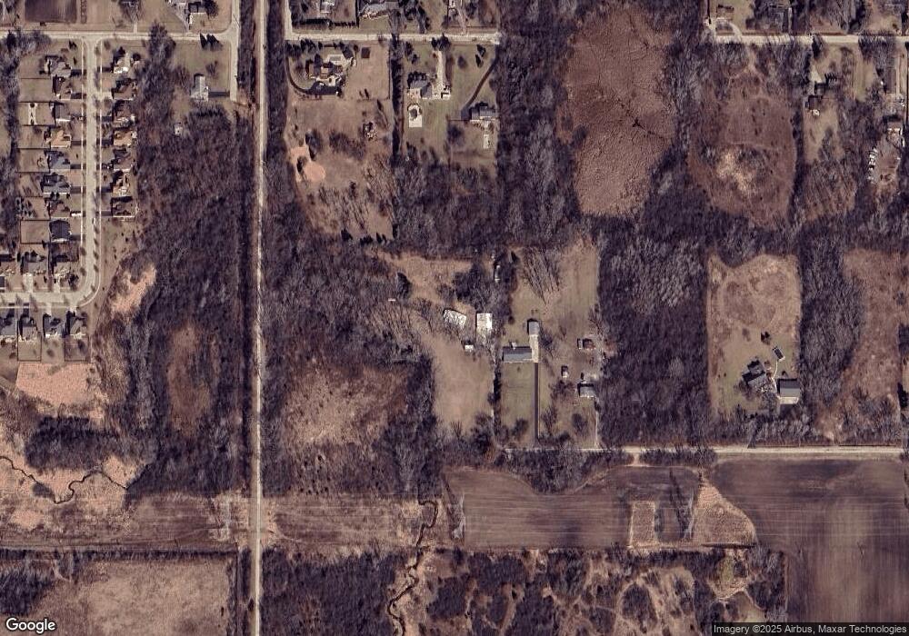
3410 15th St Winthrop Harbor, IL 60096
Shore Acres NeighborhoodEstimated Value: $322,000 - $430,975
3
Beds
2
Baths
1,800
Sq Ft
$208/Sq Ft
Est. Value
About This Home
This home is located at 3410 15th St, Winthrop Harbor, IL 60096 and is currently estimated at $374,994, approximately $208 per square foot. 3410 15th St is a home located in Lake County with nearby schools including Westfield School, North Prairie Junior High School, and Zion-Benton Township High School.
Ownership History
Date
Name
Owned For
Owner Type
Purchase Details
Closed on
Dec 4, 2024
Sold by
Trust Agreement No 3410 and Stang Dustin A
Bought by
Stang Dustin A and Stang Calvin T
Current Estimated Value
Purchase Details
Closed on
Sep 27, 2023
Sold by
Trust No 2010-A
Bought by
Trust No 3410 and Stang
Purchase Details
Closed on
Nov 11, 2010
Sold by
Stang Leonard Leroy
Bought by
Stang Leonard Leroy and Trust #2010-A
Create a Home Valuation Report for This Property
The Home Valuation Report is an in-depth analysis detailing your home's value as well as a comparison with similar homes in the area
Home Values in the Area
Average Home Value in this Area
Purchase History
| Date | Buyer | Sale Price | Title Company |
|---|---|---|---|
| Stang Dustin A | -- | None Listed On Document | |
| Trust No 3410 | -- | None Listed On Document | |
| Stang Leonard Leroy | -- | None Available |
Source: Public Records
Tax History Compared to Growth
Tax History
| Year | Tax Paid | Tax Assessment Tax Assessment Total Assessment is a certain percentage of the fair market value that is determined by local assessors to be the total taxable value of land and additions on the property. | Land | Improvement |
|---|---|---|---|---|
| 2024 | $10,165 | $106,175 | $25,237 | $80,938 |
| 2023 | $10,165 | $94,841 | $24,362 | $70,479 |
| 2022 | $4,580 | $94,338 | $23,662 | $70,676 |
| 2021 | $4,822 | $80,941 | $23,060 | $57,881 |
| 2020 | $4,920 | $77,241 | $22,006 | $55,235 |
| 2019 | $5,010 | $73,284 | $20,879 | $52,405 |
| 2018 | $8,618 | $81,746 | $26,429 | $55,317 |
| 2017 | $8,537 | $76,902 | $24,863 | $52,039 |
| 2016 | $5,575 | $73,212 | $23,670 | $49,542 |
| 2015 | $6,029 | $67,143 | $21,708 | $45,435 |
| 2014 | $5,828 | $52,850 | $27,769 | $25,081 |
| 2012 | $5,938 | $54,921 | $28,857 | $26,064 |
Source: Public Records
Map
Nearby Homes
- 3106 13th St
- 3616 Creekside Ct
- 1701 Galilee Ave
- 10702 W 17th St
- 1703 Hermon Ave
- 0 13th St Unit MRD12432014
- 3015 13th St
- 1718 Gilboa Ave
- 1721 Gilboa Ave
- 1228 Pennsylvania Ave
- 1405 Lewis Ave
- 1807 Horeb Ave
- 1901 Gilboa Ave
- 1908 Gideon Ave
- 1814 Jethro Ave
- 2404 13th St
- 1521 Southport Ct
- 1531 Southport Ct
- 1817 Joppa Ave
- 2403 11th St
- 3348 15th St
- 3318 15th St
- 3316 15th St
- 3200 15th St
- 3415 13th St
- 1311 E Broadway Ave
- 3100 15th St
- 3504 13th St
- 3408 13th St
- 1310 W Broadway Ave Unit W
- 1241 E Broadway Ave Unit E
- 3647 Creekside Ct
- 3414 13th St
- 3639 Creekside Ct
- 3701 Creekside Ct
- 3615 Creekside Ct
- 3623 Creekside Ct
- 1221 E Broadway Ave
- 3607 Creekside Ct
- 3700 Creekside Ct
