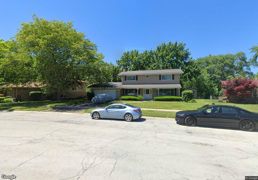
3410 169th Ct Lansing, IL 60438
Estimated Value: $249,997 - $304,000
4
Beds
3
Baths
1,960
Sq Ft
$140/Sq Ft
Est. Value
About This Home
This home is located at 3410 169th Ct, Lansing, IL 60438 and is currently estimated at $275,249, approximately $140 per square foot. 3410 169th Ct is a home located in Cook County with nearby schools including Reavis Elementary School, Memorial Jr High School, and Thornton Fractnl So High School.
Ownership History
Date
Name
Owned For
Owner Type
Purchase Details
Closed on
Dec 16, 2005
Sold by
Sarbieski Peter N and Sarbieski Claudia J
Bought by
Ellis Robert
Current Estimated Value
Home Financials for this Owner
Home Financials are based on the most recent Mortgage that was taken out on this home.
Original Mortgage
$189,520
Outstanding Balance
$110,456
Interest Rate
7%
Mortgage Type
Unknown
Estimated Equity
$164,793
Purchase Details
Closed on
Apr 5, 2000
Sold by
Orpen Orlando A and Orpen Carol V
Bought by
Sarbieski Peter N and Sarbieski Claudia J
Home Financials for this Owner
Home Financials are based on the most recent Mortgage that was taken out on this home.
Original Mortgage
$112,000
Interest Rate
8.31%
Create a Home Valuation Report for This Property
The Home Valuation Report is an in-depth analysis detailing your home's value as well as a comparison with similar homes in the area
Home Values in the Area
Average Home Value in this Area
Purchase History
| Date | Buyer | Sale Price | Title Company |
|---|---|---|---|
| Ellis Robert | $237,000 | Atg Search | |
| Sarbieski Peter N | $140,000 | -- |
Source: Public Records
Mortgage History
| Date | Status | Borrower | Loan Amount |
|---|---|---|---|
| Open | Ellis Robert | $189,520 | |
| Previous Owner | Sarbieski Peter N | $112,000 |
Source: Public Records
Tax History Compared to Growth
Tax History
| Year | Tax Paid | Tax Assessment Tax Assessment Total Assessment is a certain percentage of the fair market value that is determined by local assessors to be the total taxable value of land and additions on the property. | Land | Improvement |
|---|---|---|---|---|
| 2024 | $3,823 | $21,000 | $3,707 | $17,293 |
| 2023 | $4,853 | $21,000 | $3,707 | $17,293 |
| 2022 | $4,853 | $14,309 | $3,244 | $11,065 |
| 2021 | $4,794 | $14,308 | $3,243 | $11,065 |
| 2020 | $4,145 | $14,308 | $3,243 | $11,065 |
| 2019 | $4,056 | $13,982 | $3,012 | $10,970 |
| 2018 | $4,357 | $13,982 | $3,012 | $10,970 |
| 2017 | $5,984 | $13,982 | $3,012 | $10,970 |
| 2016 | $6,401 | $14,204 | $2,780 | $11,424 |
| 2015 | $5,884 | $14,204 | $2,780 | $11,424 |
| 2014 | $5,830 | $14,204 | $2,780 | $11,424 |
| 2013 | $5,878 | $15,685 | $2,780 | $12,905 |
Source: Public Records
Map
Nearby Homes
- 3454 E 170th St
- 3312 E 170th St
- 395 166th St
- 1520 Lincoln Place
- 3514 170th Place
- 1517 Freeland Ave
- 1512 Lincoln Place
- 1531 Lincoln Ave
- 1522 Forest Ave
- 1494 Stanley Blvd
- 17128 Grant St
- 1481 Lincoln Place
- 1562 Kenilworth Dr
- 1481 Lincoln Ave
- 1527 Wentworth Ave
- 17204 Bernadine St
- 1567 Kenilworth Dr
- 17132 Walter St
- 17153 Walter St
- 17157 Walter St