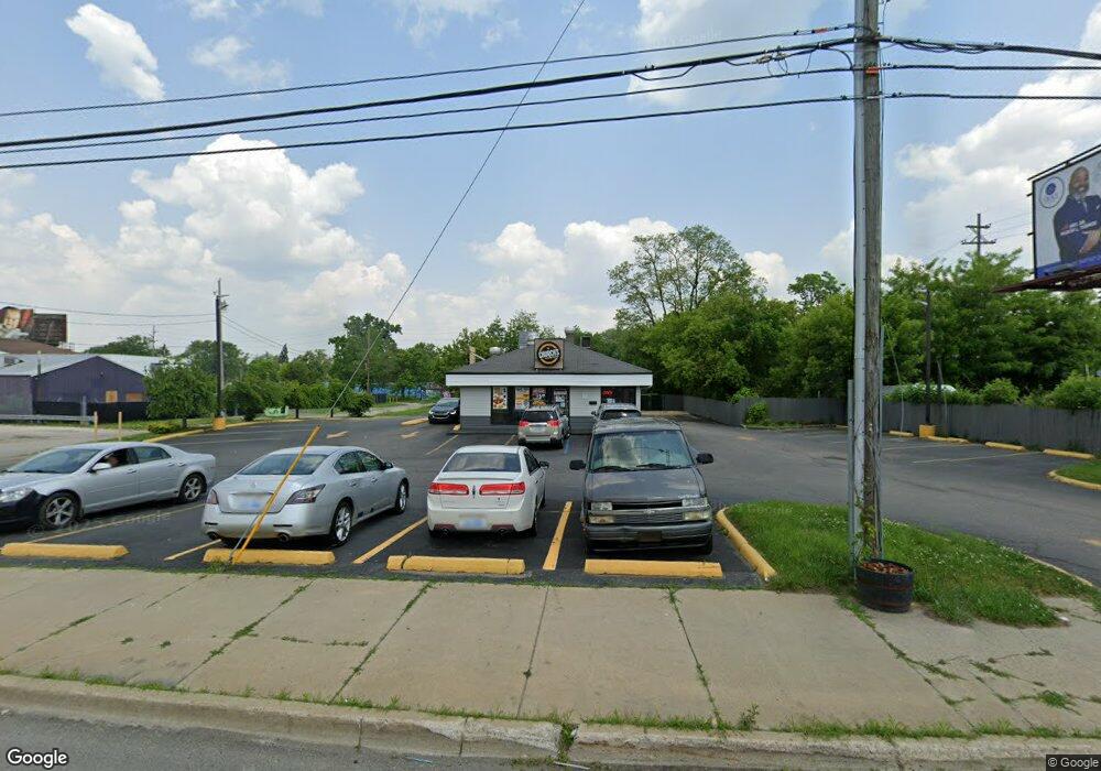
3410 Corunna Rd Flint, MI 48503
Mannhall Park NeighborhoodEstimated Value: $215,741
Studio
--
Bath
1,200
Sq Ft
$180/Sq Ft
Est. Value
About This Home
This home is located at 3410 Corunna Rd, Flint, MI 48503 and is currently estimated at $215,741, approximately $179 per square foot. 3410 Corunna Rd is a home located in Genesee County with nearby schools including Durant-Tuuri-Mott Elementary School, St. Paul Lutheran School, and First Flint Seventh-day Adventist Christian School.
Ownership History
Date
Name
Owned For
Owner Type
Purchase Details
Closed on
Sep 30, 2010
Sold by
Kim Joe J
Bought by
E I Inc
Current Estimated Value
Home Financials for this Owner
Home Financials are based on the most recent Mortgage that was taken out on this home.
Original Mortgage
$275,700
Outstanding Balance
$181,313
Interest Rate
4.36%
Mortgage Type
Commercial
Estimated Equity
$34,646
Purchase Details
Closed on
Sep 11, 2009
Sold by
W V T Inc
Bought by
Kim Joe J
Create a Home Valuation Report for This Property
The Home Valuation Report is an in-depth analysis detailing your home's value as well as a comparison with similar homes in the area
Home Values in the Area
Average Home Value in this Area
Purchase History
| Date | Buyer | Sale Price | Title Company |
|---|---|---|---|
| E I Inc | -- | First American Title Ins Co | |
| Kim Joe J | $100,000 | Cislo Title Co |
Source: Public Records
Mortgage History
| Date | Status | Borrower | Loan Amount |
|---|---|---|---|
| Open | E I Inc | $275,700 |
Source: Public Records
Tax History
| Year | Tax Paid | Tax Assessment Tax Assessment Total Assessment is a certain percentage of the fair market value that is determined by local assessors to be the total taxable value of land and additions on the property. | Land | Improvement |
|---|---|---|---|---|
| 2025 | $5,488 | $97,800 | $0 | $0 |
| 2024 | $4,967 | $101,300 | $0 | $0 |
| 2023 | $4,767 | $96,800 | $0 | $0 |
| 2022 | $0 | $106,000 | $0 | $0 |
| 2021 | $4,922 | $97,200 | $0 | $0 |
| 2020 | $4,407 | $92,800 | $0 | $0 |
| 2019 | $4,224 | $83,000 | $0 | $0 |
| 2018 | $4,467 | $84,600 | $0 | $0 |
| 2017 | $4,319 | $0 | $0 | $0 |
| 2016 | $4,281 | $0 | $0 | $0 |
| 2015 | -- | $0 | $0 | $0 |
| 2014 | -- | $0 | $0 | $0 |
| 2012 | -- | $65,800 | $0 | $0 |
Source: Public Records
Map
Nearby Homes
- 976 Barney Ave
- 3413 Augusta St
- 1017 Stocker Ave
- 1122 Stocker Ave
- 960 Mann Ave
- 1308 Barney Ave
- 1202 Knapp Ave
- 916 Mann Ave
- 3801 Augusta St
- 1412 S Ballenger Hwy
- 3805 Brown St
- 3317 Arlene Ave
- 3217 Arlene Ave
- 3824 Mann Hall Ave
- 1114 Clancy Ave
- 911 Hughes Ave
- 2805 Reynolds St
- 3825 Arlene Ave
- 3302 Van Buren Ave
- 932 Bradley Ave
- 1032 Barney Ave
- 1028 Barney Ave
- 1024 Barney Ave
- 3402 Corunna Rd
- 1016 Barney Ave
- 3417 Corunna Rd
- 3417 Corunna Rd
- 1012 Barney Ave
- 3409 Corunna Rd
- 1069 S Ballenger Hwy
- 1051 S Ballenger Hwy
- 3401 Corunna Rd
- 1025 Barney Ave
- 1017 Barney Ave
- 1013 Barney Ave
- 1030 Mann Ave
- 1022 Mann Ave
- 1009 Barney Ave
- 1020 Mann Ave
- 1001 S Ballenger Hwy
Your Personal Tour Guide
Ask me questions while you tour the home.