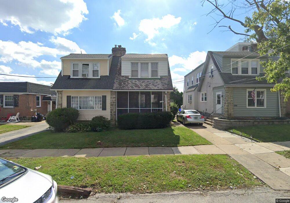
3410 Plumstead Ave Drexel Hill, PA 19026
Estimated Value: $161,000 - $239,000
3
Beds
1
Bath
1,194
Sq Ft
$179/Sq Ft
Est. Value
About This Home
This home is located at 3410 Plumstead Ave, Drexel Hill, PA 19026 and is currently estimated at $213,637, approximately $178 per square foot. 3410 Plumstead Ave is a home located in Delaware County with nearby schools including Garrettford El School, Drexel Hill Middle School, and Upper Darby High School.
Ownership History
Date
Name
Owned For
Owner Type
Purchase Details
Closed on
Jul 9, 2021
Sold by
Mangiaracina Lori
Bought by
Mccann Gabriel
Current Estimated Value
Home Financials for this Owner
Home Financials are based on the most recent Mortgage that was taken out on this home.
Original Mortgage
$5,850
Outstanding Balance
$5,286
Interest Rate
2.77%
Estimated Equity
$208,351
Purchase Details
Closed on
Aug 29, 2007
Sold by
Baun Lori Ellen and Mangiaracina Lori
Bought by
Mangiaracina Lori
Home Financials for this Owner
Home Financials are based on the most recent Mortgage that was taken out on this home.
Original Mortgage
$127,000
Interest Rate
6.74%
Mortgage Type
Stand Alone Refi Refinance Of Original Loan
Create a Home Valuation Report for This Property
The Home Valuation Report is an in-depth analysis detailing your home's value as well as a comparison with similar homes in the area
Home Values in the Area
Average Home Value in this Area
Purchase History
| Date | Buyer | Sale Price | Title Company |
|---|---|---|---|
| Mccann Gabriel | $117,000 | Unlimited Stlmt Svcs Llc | |
| Mangiaracina Lori | -- | Transcontinental Title Co |
Source: Public Records
Mortgage History
| Date | Status | Borrower | Loan Amount |
|---|---|---|---|
| Open | Mccann Gabriel | $5,850 | |
| Open | Mccann Gabriel | $111,100 | |
| Previous Owner | Mangiaracina Lori | $127,000 |
Source: Public Records
Tax History Compared to Growth
Tax History
| Year | Tax Paid | Tax Assessment Tax Assessment Total Assessment is a certain percentage of the fair market value that is determined by local assessors to be the total taxable value of land and additions on the property. | Land | Improvement |
|---|---|---|---|---|
| 2025 | $4,862 | $114,960 | $29,590 | $85,370 |
| 2024 | $4,862 | $114,960 | $29,590 | $85,370 |
| 2023 | $4,816 | $114,960 | $29,590 | $85,370 |
| 2022 | $4,687 | $114,960 | $29,590 | $85,370 |
| 2021 | $6,319 | $114,960 | $29,590 | $85,370 |
| 2020 | $5,645 | $87,270 | $29,590 | $57,680 |
| 2019 | $5,546 | $87,270 | $29,590 | $57,680 |
| 2018 | $5,482 | $87,270 | $0 | $0 |
| 2017 | $5,340 | $87,270 | $0 | $0 |
| 2016 | $479 | $87,270 | $0 | $0 |
| 2015 | $479 | $87,270 | $0 | $0 |
| 2014 | $479 | $87,270 | $0 | $0 |
Source: Public Records
Map
Nearby Homes
- 231 Burmont Rd
- 3408 Marshall Rd
- 3224 Marshall Rd
- 242 Burmont Rd
- 222 Burmont Rd
- 271 Drexel Ave
- 3817 Berkley Ave
- 3830 Albemarle Ave
- 162 Burmont Rd
- 3841 Berkley Ave
- 301 Shadeland Ave
- 225 Glentay Ave
- 333 Blanchard Rd
- 223 W Plumstead Ave
- 172 Bridge St
- 289 Cheswold Rd
- 257 W Greenwood Ave
- 0 Bridge St
- 3941 Bridge St
- 337 Cheswold Rd
- 3412 Plumstead Ave
- 3406 Plumstead Ave
- 3414 Plumstead Ave
- 3404 Plumstead Ave
- 3416 Plumstead Ave
- 3402 Plumstead Ave
- 3418 Plumstead Ave
- 3400 Plumstead Ave
- 3420 Plumstead Ave
- 3411 Brunswick Ave
- 3407 Brunswick Ave
- 3405 Brunswick Ave
- 3415 Brunswick Ave
- 3422 Plumstead Ave
- 3403 Brunswick Ave
- 3413 Plumstead Ave
- 3409 Plumstead Ave
- 3401 Brunswick Ave
- Lot 1 Plumstead Ave
- 3424 Plumstead Ave