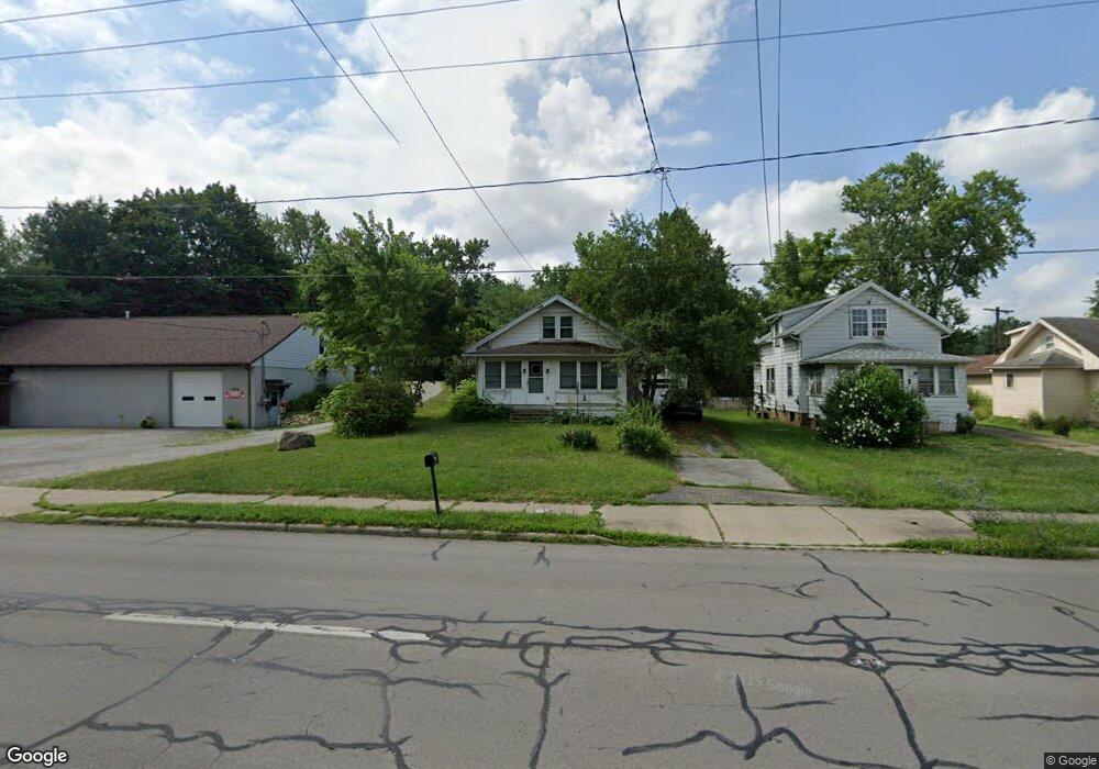
3412 State Route 59 Ravenna, OH 44266
Estimated Value: $76,000 - $110,000
1
Bed
1
Bath
840
Sq Ft
$113/Sq Ft
Est. Value
About This Home
This home is located at 3412 State Route 59, Ravenna, OH 44266 and is currently estimated at $94,943, approximately $113 per square foot. 3412 State Route 59 is a home located in Portage County with nearby schools including West Park Elementary School, West Main Elementary School, and Brown Middle School.
Ownership History
Date
Name
Owned For
Owner Type
Purchase Details
Closed on
Jun 29, 2006
Sold by
Labajetta Rita M and Labajetta Edward
Bought by
Stroh Brian
Current Estimated Value
Home Financials for this Owner
Home Financials are based on the most recent Mortgage that was taken out on this home.
Original Mortgage
$44,225
Interest Rate
6.68%
Mortgage Type
Purchase Money Mortgage
Purchase Details
Closed on
Mar 5, 1999
Sold by
Shafer Matilda
Bought by
Labajetta Rita M and Shafer David F
Purchase Details
Closed on
Jan 1, 1990
Bought by
Shafer Matilda
Create a Home Valuation Report for This Property
The Home Valuation Report is an in-depth analysis detailing your home's value as well as a comparison with similar homes in the area
Home Values in the Area
Average Home Value in this Area
Purchase History
| Date | Buyer | Sale Price | Title Company |
|---|---|---|---|
| Stroh Brian | $60,300 | Approved Statewide Title Age | |
| Labajetta Rita M | -- | -- | |
| Shafer Matilda | -- | -- |
Source: Public Records
Mortgage History
| Date | Status | Borrower | Loan Amount |
|---|---|---|---|
| Closed | Stroh Brian | $44,225 |
Source: Public Records
Tax History Compared to Growth
Tax History
| Year | Tax Paid | Tax Assessment Tax Assessment Total Assessment is a certain percentage of the fair market value that is determined by local assessors to be the total taxable value of land and additions on the property. | Land | Improvement |
|---|---|---|---|---|
| 2024 | $1,130 | $21,040 | $4,940 | $16,100 |
| 2023 | $1,569 | $18,350 | $4,940 | $13,410 |
| 2022 | $1,549 | $18,350 | $4,940 | $13,410 |
| 2021 | $1,605 | $28,460 | $4,940 | $23,520 |
| 2020 | $1,788 | $24,230 | $4,940 | $19,290 |
| 2019 | $1,989 | $24,230 | $4,940 | $19,290 |
| 2018 | $1,478 | $24,120 | $6,300 | $17,820 |
| 2017 | $1,478 | $24,120 | $6,300 | $17,820 |
| 2016 | $1,764 | $24,120 | $6,300 | $17,820 |
| 2015 | $1,354 | $24,120 | $6,300 | $17,820 |
| 2014 | $1,366 | $24,120 | $6,300 | $17,820 |
| 2013 | $1,425 | $24,120 | $6,300 | $17,820 |
Source: Public Records
Map
Nearby Homes
- 3229 Brady Lake Rd
- 3279 State Route 59
- 6287 Cara Dr
- 6311 Roselawn Ave
- 3505 Ohio 59 Unit 105
- 3505 Ohio 59 Unit 166
- 3505 Ohio 59 Unit 46
- 1057 W Riddle Ave
- 6388 Marchinn Dr
- 1024 W Riddle Ave
- 3366 Hommon Rd
- 3461 Mabel Ave
- 856 W Main St
- 110 Oakwood St
- 3022 State Route 59 Unit B 59
- 825 W Highland Ave
- 6615 Cleveland Rd Unit K2
- 6704 Wall St
- 3027 Brady Lake Rd
- 656 W Highland Ave
- 3408 State Route 59
- 3418 Ohio 59
- 3416 Ohio 59
- 3402 State Route 59
- 6162 Spring St
- 3401 Main
- 3392 State Route 59
- 6158 Spring St
- 3427 State Route 59
- 3421 State Route 59
- 3440 State Route 59
- 3388 3392 State Route 59
- 3388 State Route 59
- 6209 Hill St
- 6152 Spring St
- 6161 Spring St
- 3382 State Route 59
- 3437 W Main St
- 6148 Spring St
- 6157 Spring St