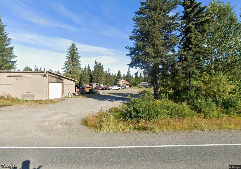
34120 N Fork Rd Anchor Point, AK 99556
Estimated Value: $45,000 - $325,854
3
Beds
2
Baths
1,498
Sq Ft
$151/Sq Ft
Est. Value
About This Home
This home is located at 34120 N Fork Rd, Anchor Point, AK 99556 and is currently estimated at $226,285, approximately $151 per square foot. 34120 N Fork Rd is a home located in Kenai Peninsula Borough with nearby schools including Chapman School and Homer High School.
Create a Home Valuation Report for This Property
The Home Valuation Report is an in-depth analysis detailing your home's value as well as a comparison with similar homes in the area
Home Values in the Area
Average Home Value in this Area
Tax History Compared to Growth
Tax History
| Year | Tax Paid | Tax Assessment Tax Assessment Total Assessment is a certain percentage of the fair market value that is determined by local assessors to be the total taxable value of land and additions on the property. | Land | Improvement |
|---|---|---|---|---|
| 2025 | $1,951 | $221,800 | $37,600 | $184,200 |
| 2024 | $975 | $189,200 | $33,700 | $155,500 |
| 2023 | $1,887 | $175,200 | $28,100 | $147,100 |
| 2022 | $1,698 | $153,100 | $20,000 | $133,100 |
| 2021 | $1,675 | $142,400 | $19,300 | $123,100 |
| 2020 | $1,357 | $121,300 | $19,300 | $102,000 |
| 2019 | $1,716 | $153,900 | $23,200 | $130,700 |
| 2018 | $1,675 | $150,200 | $23,200 | $127,000 |
| 2017 | $1,329 | $121,400 | $23,200 | $98,200 |
| 2016 | $1,258 | $114,900 | $23,200 | $91,700 |
| 2015 | -- | $110,000 | $23,200 | $86,800 |
Source: Public Records
Map
Nearby Homes
- 70975 Mark Ln
- 73340 School Ave
- 000 Old Sterling Hwy
- 33045 Sterling Hwy
- 34191 Chapman St
- L3 Aquila Wings Rd
- L1 Aquila Wings Rd
- L7 Brow Tine Rd
- L2 Aquila Wings Rd
- 34405 Birch St
- 34427 Birch St
- 73595 School Ave
- 72715 Kingair Ave
- 73487 Ann Ct
- 33699 Granross St
- 35196 Nordic Ct
- 73549 Breakaway Rd
- 73481 Ann Rd
- 73528 Breakaway Rd
- 73790 Cuffel Ditton Rd
- 34120 North Fork Rd
- Tr 7 Spruceridge
- Tr 1 Spruceridge Loop
- 33954 Sprucegate Rd
- L5 B12 N Fork Rd
- 33833 Sprucegate Rd
- 33940 Sprucegate Rd
- 71372 Coleman Lantern Ave
- 34160 North Fork Rd
- L7 B2 Sprucegate Rd
- L9-11A Sprucegate Rd
- 71375 Coleman Lantern Ave
- 72433 Spruceridge Loop
- 34100 North Fork Rd
- 33808 Sprucegate Rd
- 33905 Sprucegate Rd
- 71360 Coleman Lantern Ave
- 72478 Spruceridge Loop
- 34170 North Fork Rd
- 34161 N Fork Rd