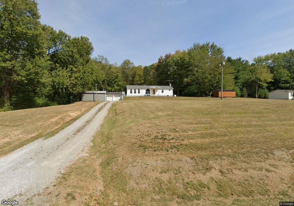
34120 State Route 683 Mc Arthur, OH 45651
Estimated Value: $245,000 - $361,000
--
Bed
1
Bath
1,680
Sq Ft
$174/Sq Ft
Est. Value
About This Home
This home is located at 34120 State Route 683, Mc Arthur, OH 45651 and is currently estimated at $291,567, approximately $173 per square foot. 34120 State Route 683 is a home located in Vinton County with nearby schools including Vinton County High School.
Ownership History
Date
Name
Owned For
Owner Type
Purchase Details
Closed on
Mar 1, 2024
Sold by
Barlow Melissa Jane and Barlow Todd
Bought by
Barlow Melissa Jane and Barlow Melissa Jane
Current Estimated Value
Home Financials for this Owner
Home Financials are based on the most recent Mortgage that was taken out on this home.
Original Mortgage
$100,000
Outstanding Balance
$97,336
Interest Rate
6.74%
Mortgage Type
Credit Line Revolving
Estimated Equity
$194,231
Create a Home Valuation Report for This Property
The Home Valuation Report is an in-depth analysis detailing your home's value as well as a comparison with similar homes in the area
Home Values in the Area
Average Home Value in this Area
Purchase History
| Date | Buyer | Sale Price | Title Company |
|---|---|---|---|
| Barlow Melissa Jane | -- | None Listed On Document |
Source: Public Records
Mortgage History
| Date | Status | Borrower | Loan Amount |
|---|---|---|---|
| Open | Caudill Ryan | $100,000 | |
| Open | Barlow Melissa Jane | $150,000 |
Source: Public Records
Tax History Compared to Growth
Tax History
| Year | Tax Paid | Tax Assessment Tax Assessment Total Assessment is a certain percentage of the fair market value that is determined by local assessors to be the total taxable value of land and additions on the property. | Land | Improvement |
|---|---|---|---|---|
| 2024 | $1,043 | $60,300 | $7,340 | $52,960 |
| 2023 | $693 | $46,480 | $5,100 | $41,380 |
| 2022 | $1,732 | $46,480 | $5,100 | $41,380 |
| 2021 | $1,818 | $49,030 | $5,100 | $43,930 |
| 2020 | $1,568 | $40,050 | $4,330 | $35,720 |
| 2019 | $1,565 | $40,050 | $4,330 | $35,720 |
| 2018 | $1,548 | $40,050 | $4,330 | $35,720 |
| 2017 | $1,439 | $36,440 | $3,960 | $32,480 |
| 2016 | $1,434 | $36,440 | $3,960 | $32,480 |
| 2015 | $973 | $26,150 | $4,030 | $22,120 |
| 2014 | $973 | $26,150 | $4,030 | $22,120 |
Source: Public Records
Map
Nearby Homes
- 33695 Ohio 683
- 59938 Bolar Rd
- 59937 Murphy Remy Rd
- 58541 Murphy Remy Rd
- 59733 Us Highway 50
- 0 Carpenter Rd
- 58510 Us Highway 50
- 58501 Us Highway 50
- 35603 Lake Rd
- 62160 Bolar Rd
- 0 Wolf Hill Rd Unit (Tract 7 Wolf Hill)
- 0 Wolf Hill Rd Unit 25468491
- 0 Wolf Hill Rd Unit (Tract 3 Wolf Hill)
- 0 Wolf Hill Rd Unit 25469221
- 0 Wolf Hill Rd Unit (Tract 4 Wolf Hill)
- 0 Wolf Hill Rd Unit (Tract 2 Wolf Hill)
- 0 Wolf Hill Rd Unit 25026051
- 0 Wolf Hill Rd Unit (Tract 5 Wolf Hill)
- 0 Wolf Hill Rd Unit (Tract 6 Wolf Hill)
- 0 Wolf Hill Rd Unit 25469218
- 34180 State Route 683
- 60028 Mount Zion Rd
- 60065 Wyckoff Rd
- 34201 State Route 683
- 600055 Wyckoff Rd
- 60071 Mount Zion Rd
- 60055 Wyckoff Rd
- 34211 Ohio 683
- 34017 State Route 683
- 34218 State Route 683
- 60135 Mount Zion Rd
- 33934 State Route 683
- 34211 State Route 683
- 34236 State Route 683
- 33990 Ohio 683 Unit 1.73 acres
- 34268 State Route 683
- 59904 Owings Rd
- 34293 State Route 683
- 34293 State Route 683
- 59911 Owings Rd