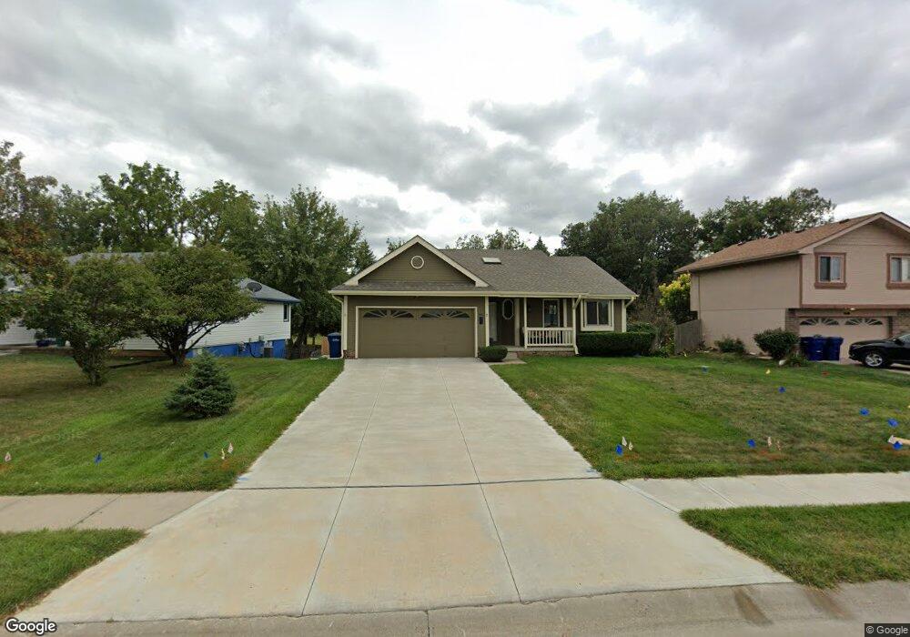
3413 Blackhawk Dr Bellevue, NE 68123
Estimated Value: $267,000 - $289,000
3
Beds
2
Baths
1,235
Sq Ft
$226/Sq Ft
Est. Value
About This Home
This home is located at 3413 Blackhawk Dr, Bellevue, NE 68123 and is currently estimated at $279,243, approximately $226 per square foot. 3413 Blackhawk Dr is a home located in Sarpy County with nearby schools including Leonard Lawrence Elementary School, Lewis & Clark Middle School, and Bellevue West High School.
Ownership History
Date
Name
Owned For
Owner Type
Purchase Details
Closed on
Apr 24, 2014
Sold by
Mullendore Sean T and Mullendore Candice J
Bought by
Wise Scott C and Wise Donita M
Current Estimated Value
Purchase Details
Closed on
Aug 12, 2009
Sold by
Robb Cass E and Robb Steven P
Bought by
Mullendore Sean T and Mullendore Candice J
Home Financials for this Owner
Home Financials are based on the most recent Mortgage that was taken out on this home.
Original Mortgage
$98,000
Interest Rate
5.31%
Create a Home Valuation Report for This Property
The Home Valuation Report is an in-depth analysis detailing your home's value as well as a comparison with similar homes in the area
Home Values in the Area
Average Home Value in this Area
Purchase History
| Date | Buyer | Sale Price | Title Company |
|---|---|---|---|
| Wise Scott C | $81,000 | Nebraska Land Title & Abstra | |
| Mullendore Sean T | $123,000 | Mrt |
Source: Public Records
Mortgage History
| Date | Status | Borrower | Loan Amount |
|---|---|---|---|
| Previous Owner | Mullendore Sean T | $98,000 |
Source: Public Records
Tax History Compared to Growth
Tax History
| Year | Tax Paid | Tax Assessment Tax Assessment Total Assessment is a certain percentage of the fair market value that is determined by local assessors to be the total taxable value of land and additions on the property. | Land | Improvement |
|---|---|---|---|---|
| 2025 | $4,289 | $261,538 | $42,000 | $219,538 |
| 2024 | $4,883 | $246,679 | $40,000 | $206,679 |
| 2023 | $4,883 | $231,227 | $36,000 | $195,227 |
| 2022 | $4,544 | $211,174 | $32,000 | $179,174 |
| 2021 | $4,226 | $194,268 | $28,000 | $166,268 |
| 2020 | $3,875 | $177,596 | $28,000 | $149,596 |
| 2019 | $3,717 | $171,421 | $28,000 | $143,421 |
| 2018 | $3,594 | $170,184 | $24,000 | $146,184 |
| 2017 | $3,360 | $158,040 | $24,000 | $134,040 |
| 2016 | $3,216 | $154,569 | $22,000 | $132,569 |
| 2015 | $3,133 | $151,478 | $22,000 | $129,478 |
| 2014 | $3,044 | $146,227 | $22,000 | $124,227 |
| 2012 | -- | $146,779 | $22,000 | $124,779 |
Source: Public Records
Map
Nearby Homes
- 3508 Jason Cir
- 13602 S 36th St
- 3504 Sheridan Cir
- 3309 Lookingglass Dr
- 3716 Lookingglass Dr
- 3728 Schuemann Dr
- 14010 S 35th St
- 14013 S 35th St
- 3738 Falcon Dr
- 3506 Lynnwood Dr
- 3105 Mirror Cir
- 2923 Blackhawk Dr
- 3113 Tammy St
- 3108 Mirror Cir
- 13902 Rahn Blvd
- 12915 Forestdale Dr
- 13609 S 42nd Ave
- 13717 S 42nd Ave
- 4411 Schilling Dr
- 12750 Forestdale Dr
- 3411 Blackhawk Dr
- 3501 Blackhawk Dr
- 3503 Blackhawk Dr
- 3409 Blackhawk Dr
- 3414 Blackhawk Dr
- 3502 Blackhawk Dr
- 3407 Blackhawk Dr
- 3505 Blackhawk Dr
- 3412 Blackhawk Dr
- 3504 Blackhawk Dr
- 3410 Blackhawk Dr
- 3506 Blackhawk Dr
- 3405 Blackhawk Dr
- 13510 S 34th St
- 3507 Blackhawk Dr
- 3508 Blackhawk Dr
- 3411 Jason Cir
- 3403 Blackhawk Dr
- 13508 S 34th St
- 3503 Jason Cir