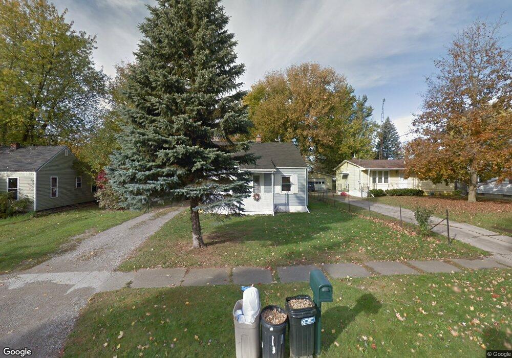
3413 Huggins Ave Flint, MI 48506
Potter Longway NeighborhoodEstimated Value: $76,000 - $116,000
2
Beds
1
Bath
803
Sq Ft
$123/Sq Ft
Est. Value
About This Home
This home is located at 3413 Huggins Ave, Flint, MI 48506 and is currently estimated at $98,843, approximately $123 per square foot. 3413 Huggins Ave is a home located in Genesee County with nearby schools including Potter School, Richfield Public School Academy, and Richfield Early Learning Center.
Ownership History
Date
Name
Owned For
Owner Type
Purchase Details
Closed on
Mar 26, 2003
Sold by
Howd Michael D and Howd Rose M
Bought by
Howd Michael D and Howd Rose M
Current Estimated Value
Home Financials for this Owner
Home Financials are based on the most recent Mortgage that was taken out on this home.
Original Mortgage
$78,000
Outstanding Balance
$33,679
Interest Rate
5.94%
Mortgage Type
Purchase Money Mortgage
Estimated Equity
$65,164
Purchase Details
Closed on
Oct 16, 2001
Sold by
Howd Michael D and Howd Robert W
Bought by
Howd Michael D
Purchase Details
Closed on
Sep 15, 1999
Sold by
Williams S L
Bought by
Howd Michael D and Howd Robert W
Create a Home Valuation Report for This Property
The Home Valuation Report is an in-depth analysis detailing your home's value as well as a comparison with similar homes in the area
Home Values in the Area
Average Home Value in this Area
Purchase History
| Date | Buyer | Sale Price | Title Company |
|---|---|---|---|
| Howd Michael D | -- | -- | |
| Howd Michael D | -- | -- | |
| Howd Michael D | -- | First American Title Ins Co |
Source: Public Records
Mortgage History
| Date | Status | Borrower | Loan Amount |
|---|---|---|---|
| Open | Howd Michael D | $78,000 |
Source: Public Records
Tax History
| Year | Tax Paid | Tax Assessment Tax Assessment Total Assessment is a certain percentage of the fair market value that is determined by local assessors to be the total taxable value of land and additions on the property. | Land | Improvement |
|---|---|---|---|---|
| 2025 | $1,119 | $45,900 | $0 | $0 |
| 2024 | $1,009 | $34,200 | $0 | $0 |
| 2023 | $786 | $26,500 | $0 | $0 |
| 2022 | $852 | $22,300 | $0 | $0 |
| 2021 | $1,030 | $17,400 | $0 | $0 |
| 2020 | $925 | $15,800 | $0 | $0 |
Source: Public Records
Map
Nearby Homes
- 3705 Aldon Ln
- 3734 Craig Dr
- 3210 Wyoming Ave
- 3413 Dakota Ave
- 3602 Dakota Ave
- 00 Richfield Rd
- 3118 Wyoming Ave
- 3314 Dakota Ave
- 3006 Agree Ave
- 3010 Wyoming Ave
- 2274 N Center Rd
- 3814 Beechwood Ave
- 3018 Dakota Ave
- 2719 Branch Rd
- 2935 Richfield Rd
- 3294 Huggins Ave
- 2701 Branch Rd
- 3149 Whittier Ave
- 3822 Whittier Ave
- 2146 N Center Rd
- 3419 Huggins Ave
- 3513 Wyoming Ave
- 3517 Wyoming Ave
- 3509 Wyoming Ave
- 3425 Huggins Ave
- 3505 Wyoming Ave
- 3407 Huggins Ave
- 3527 Wyoming Ave
- 3501 Wyoming Ave
- 3501 Huggins Ave
- 3433 Wyoming Ave
- 3507 Huggins Ave
- 3429 Wyoming Ave
- 3425 Wyoming Ave
- 3326 Starkweather St
- 3513 Huggins Ave
- 3320 Starkweather St
- 3419 Wyoming Ave
- 3402 Huggins Ave
- 3414 N Term St
Your Personal Tour Guide
Ask me questions while you tour the home.