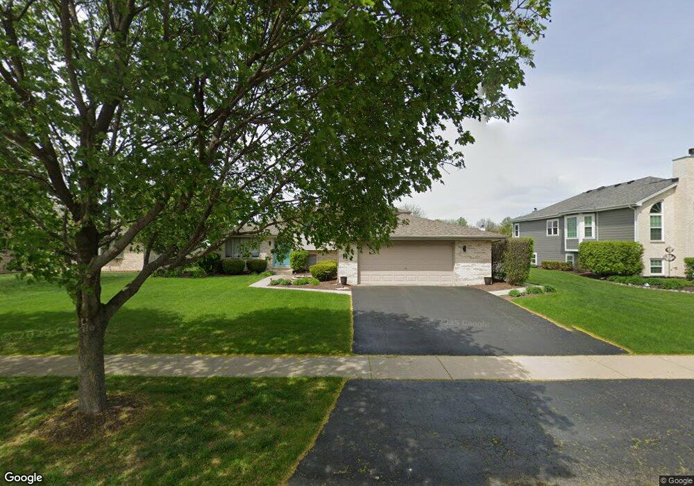
3413 Norwood Ln New Lenox, IL 60451
Estimated Value: $403,365 - $486,000
--
Bed
--
Bath
--
Sq Ft
0.28
Acres
About This Home
This home is located at 3413 Norwood Ln, New Lenox, IL 60451 and is currently estimated at $448,091. 3413 Norwood Ln is a home located in Will County with nearby schools including Oster-Oakview School, Haines Elementary School, and Lincoln Way West.
Ownership History
Date
Name
Owned For
Owner Type
Purchase Details
Closed on
Sep 13, 2024
Sold by
Dyke Debra and Dyke John R
Bought by
Dyke Debra
Current Estimated Value
Purchase Details
Closed on
Oct 27, 1998
Sold by
Heritage Trust Company
Bought by
Dyke John R and Dyke Debra
Home Financials for this Owner
Home Financials are based on the most recent Mortgage that was taken out on this home.
Original Mortgage
$100,000
Interest Rate
6.78%
Create a Home Valuation Report for This Property
The Home Valuation Report is an in-depth analysis detailing your home's value as well as a comparison with similar homes in the area
Home Values in the Area
Average Home Value in this Area
Purchase History
| Date | Buyer | Sale Price | Title Company |
|---|---|---|---|
| Dyke Debra | -- | None Listed On Document | |
| Dyke John R | $173,500 | -- |
Source: Public Records
Mortgage History
| Date | Status | Borrower | Loan Amount |
|---|---|---|---|
| Previous Owner | Dyke John R | $100,000 |
Source: Public Records
Tax History Compared to Growth
Tax History
| Year | Tax Paid | Tax Assessment Tax Assessment Total Assessment is a certain percentage of the fair market value that is determined by local assessors to be the total taxable value of land and additions on the property. | Land | Improvement |
|---|---|---|---|---|
| 2024 | $9,356 | $120,738 | $31,482 | $89,256 |
| 2023 | $9,356 | $110,062 | $28,698 | $81,364 |
| 2022 | $8,439 | $101,393 | $26,438 | $74,955 |
| 2021 | $8,036 | $95,357 | $24,864 | $70,493 |
| 2020 | $7,789 | $91,955 | $23,977 | $67,978 |
| 2019 | $7,535 | $89,104 | $23,234 | $65,870 |
| 2018 | $7,327 | $86,032 | $22,433 | $63,599 |
| 2017 | $7,122 | $83,559 | $21,788 | $61,771 |
| 2016 | $6,946 | $81,323 | $21,205 | $60,118 |
| 2015 | $6,764 | $78,764 | $20,538 | $58,226 |
| 2014 | $6,764 | $77,791 | $20,284 | $57,507 |
| 2013 | $6,764 | $78,839 | $20,557 | $58,282 |
Source: Public Records
Map
Nearby Homes
- 3420 Avondale Ln
- 3301 Irondale Ct
- 14119 W Maple Rd
- 1001 Scottsdale Ln
- 506 Navajo Dr
- 0 Silver Cross Blvd
- 1999 Silver Cross Blvd
- 1106 Weston Way
- 1006 Mountain View Dr
- 15711 Mueller Way
- The Grace Plan at Prairie Ridge of New Lenox
- The Lauren Plan at Prairie Ridge of New Lenox
- The Katherine Front Porch Elevation Plan at Prairie Ridge of New Lenox
- 939 Saddle Ridge Dr
- 937 Saddle Ridge Dr
- 1301 Silver Cross Blvd
- 2602 Timber Springs Dr
- The Lauren Plan at Prairie Ridge North
- The Grace Plan at Prairie Ridge North
- The Katherine Front Porch Elevation Plan at Prairie Ridge North
- 3411 Norwood Ln
- 3415 Norwood Ln
- 3414 Avondale Ln
- 3409 Norwood Ln
- 3417 Norwood Ln
- 3412 Avondale Ln
- 3416 Avondale Ln
- 3414 Norwood Ln
- 3418 Avondale Ln
- 3410 Avondale Ln
- 3416 Norwood Ln
- 3412 Norwood Ln
- 3407 Norwood Ln
- 3419 Norwood Ln
- 3418 Norwood Ln
- 3410 Norwood Ln
- 3408 Avondale Ln
- 3405 Norwood Ln
- 3420 Norwood Ln
- 3408 Norwood Ln