34133 Olson Ln Lebanon, OR 97355
Estimated Value: $1,130,545
2
Beds
1
Bath
1,285
Sq Ft
$880/Sq Ft
Est. Value
About This Home
This home is located at 34133 Olson Ln, Lebanon, OR 97355 and is currently estimated at $1,130,545, approximately $879 per square foot. 34133 Olson Ln is a home located in Linn County with nearby schools including Pioneer School, Lebanon High School, and CSC Lebanon Learning Opportunities Center.
Ownership History
Date
Name
Owned For
Owner Type
Purchase Details
Closed on
Dec 21, 2023
Sold by
Isabel R Meyer Trust and Robert F Meyer Credit Shelter Trust
Bought by
Meyer Farms Company Llc
Current Estimated Value
Home Financials for this Owner
Home Financials are based on the most recent Mortgage that was taken out on this home.
Original Mortgage
$891,536
Outstanding Balance
$824,733
Interest Rate
6.81%
Mortgage Type
New Conventional
Estimated Equity
$305,812
Purchase Details
Closed on
Jul 18, 2018
Sold by
Mier Gary and Mier Kathy
Bought by
34133 Olson Lane Llc
Purchase Details
Closed on
Sep 2, 2015
Sold by
Lewis Martin
Bought by
Lewis Martin
Purchase Details
Closed on
Mar 2, 2010
Sold by
Mier Gary
Bought by
Mier Gary and Mier Kathy
Purchase Details
Closed on
Dec 31, 2009
Sold by
Canaga Sally
Bought by
Mier Gary
Create a Home Valuation Report for This Property
The Home Valuation Report is an in-depth analysis detailing your home's value as well as a comparison with similar homes in the area
Home Values in the Area
Average Home Value in this Area
Purchase History
| Date | Buyer | Sale Price | Title Company |
|---|---|---|---|
| Meyer Farms Company Llc | $1,000,000 | Fidelity National Title | |
| 34133 Olson Lane Llc | $1,000,000 | First American Title | |
| Lewis Martin | -- | None Available | |
| Mier Gary | -- | None Available | |
| Mier Gary | -- | None Available |
Source: Public Records
Mortgage History
| Date | Status | Borrower | Loan Amount |
|---|---|---|---|
| Open | Meyer Farms Company Llc | $891,536 |
Source: Public Records
Tax History Compared to Growth
Tax History
| Year | Tax Paid | Tax Assessment Tax Assessment Total Assessment is a certain percentage of the fair market value that is determined by local assessors to be the total taxable value of land and additions on the property. | Land | Improvement |
|---|---|---|---|---|
| 2025 | $2,855 | $192,704 | -- | -- |
| 2024 | $2,781 | $187,091 | -- | -- |
| 2023 | $2,699 | $181,649 | $0 | $0 |
| 2022 | $2,642 | $176,365 | $0 | $0 |
| 2021 | $2,530 | $171,237 | $0 | $0 |
| 2020 | $2,478 | $166,249 | $0 | $0 |
| 2019 | $2,415 | $161,413 | $0 | $0 |
| 2018 | $2,354 | $156,716 | $0 | $0 |
| 2017 | $2,302 | $152,153 | $0 | $0 |
| 2016 | $2,247 | $147,723 | $0 | $0 |
| 2015 | $2,171 | $143,426 | $0 | $0 |
| 2014 | $2,125 | $139,210 | $0 | $0 |
Source: Public Records
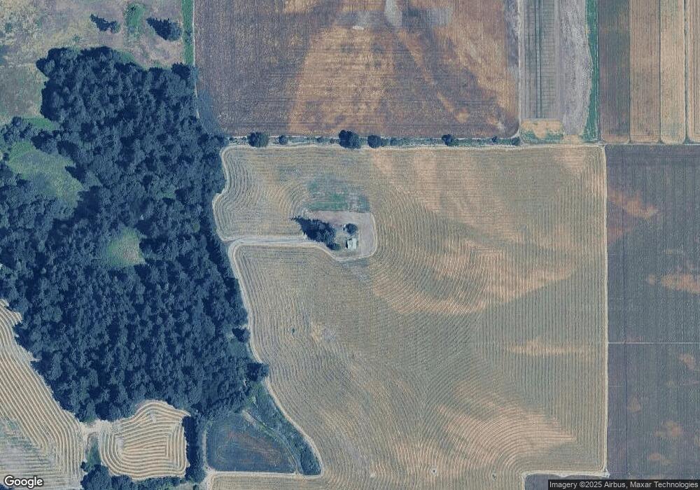
Map
Nearby Homes
- 34117 Santiam Hwy
- 33510 Millview Way
- 33788 Brewster Rd
- 37295 Cemetery (Next To) Rd
- 515 W Mary St
- 91 W Mary St
- 180 Eaton St
- 34965 Brewster Rd
- 59 Eaton St
- 330 Wheeler St
- 330 Wheeler Behind - Parcel 3 St
- 537 W Morton St
- 35 S Main St
- 183 E Dodge St
- 160 Tangent St
- 121 S Williams (125) St
- 650 Tangent St
- 178 S Main St
- 151 Cleveland St
- 232 E Carolina St
- 34112 Olson Ln
- 34044 Olson Ln
- 34077 Santiam Hwy
- 37331 Kgal Dr
- 37321 Kgal Dr
- 37367 Kgal Dr
- 37325 Kgal Dr
- 37301 Kgal Dr
- 37253 Kgal Dr
- 37391 Kgal Dr
- 37409 Kgal Dr
- 34162 Pennington Ln
- 37441 Kgal Dr
- 37433 Kgal Dr
- 37227 Kgal Dr
- 37457 Kgal Dr
- 34207 Pennington Ln
- 37479 Kgal Dr
- 37513 Kgal Dr
- 34121 Pennington Ln