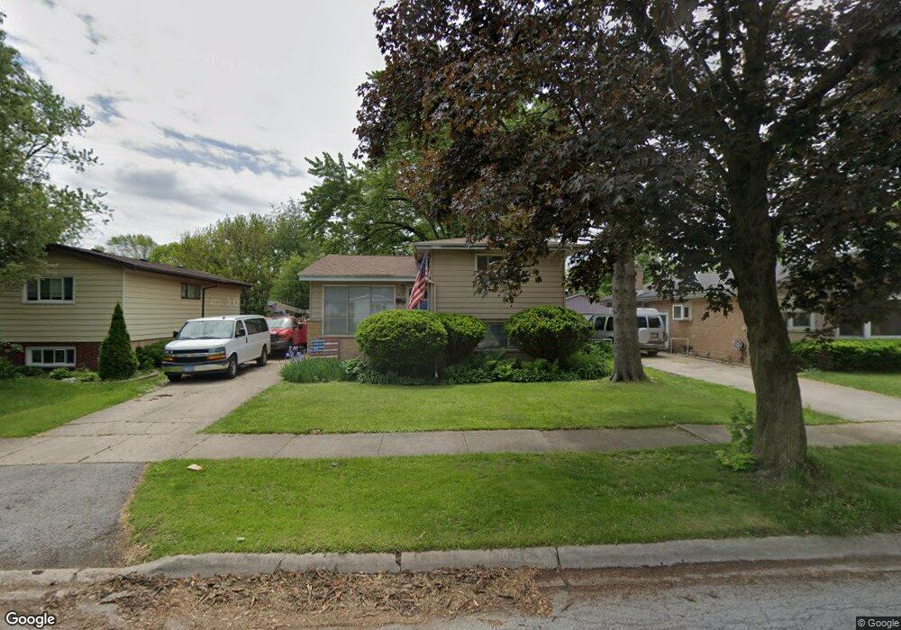
3415 218th St Matteson, IL 60443
Old Matteson NeighborhoodEstimated Value: $179,000 - $221,000
4
Beds
2
Baths
1,140
Sq Ft
$175/Sq Ft
Est. Value
About This Home
This home is located at 3415 218th St, Matteson, IL 60443 and is currently estimated at $199,410, approximately $174 per square foot. 3415 218th St is a home located in Cook County with nearby schools including Illinois School, Matteson Elementary School, and Sauk Elementary School.
Ownership History
Date
Name
Owned For
Owner Type
Purchase Details
Closed on
Jul 11, 2013
Sold by
Perry Neil D and Parry Neil D
Bought by
Wood Charles P
Current Estimated Value
Purchase Details
Closed on
Sep 23, 2009
Sold by
Parry Gale A
Bought by
Parry Bruce E and Parry Neil D
Purchase Details
Closed on
Aug 7, 2006
Sold by
Parry Bruce Edward
Bought by
Parry Bruce E and Parry Neil D
Create a Home Valuation Report for This Property
The Home Valuation Report is an in-depth analysis detailing your home's value as well as a comparison with similar homes in the area
Home Values in the Area
Average Home Value in this Area
Purchase History
| Date | Buyer | Sale Price | Title Company |
|---|---|---|---|
| Wood Charles P | -- | None Available | |
| Parry Bruce E | -- | None Available | |
| Parry Bruce E | -- | Chicago Title Insurance Co |
Source: Public Records
Tax History
| Year | Tax Paid | Tax Assessment Tax Assessment Total Assessment is a certain percentage of the fair market value that is determined by local assessors to be the total taxable value of land and additions on the property. | Land | Improvement |
|---|---|---|---|---|
| 2025 | $1,669 | $16,000 | $3,002 | $12,998 |
| 2024 | $1,669 | $16,000 | $3,002 | $12,998 |
| 2023 | $3,744 | $16,000 | $3,002 | $12,998 |
| 2022 | $3,744 | $10,323 | $2,627 | $7,696 |
| 2021 | $3,845 | $10,322 | $2,627 | $7,695 |
| 2020 | $3,677 | $10,322 | $2,627 | $7,695 |
| 2019 | $4,556 | $12,233 | $2,439 | $9,794 |
| 2018 | $4,553 | $12,233 | $2,439 | $9,794 |
| 2017 | $4,400 | $12,233 | $2,439 | $9,794 |
| 2016 | $3,958 | $10,546 | $2,251 | $8,295 |
| 2015 | $3,862 | $10,546 | $2,251 | $8,295 |
| 2014 | $3,767 | $10,546 | $2,251 | $8,295 |
| 2013 | $4,161 | $12,270 | $2,251 | $10,019 |
Source: Public Records
Map
Nearby Homes
- 3435 218th Place
- 338 Waldmann Dr
- 356 Winnebago St
- 409 Winnemac St
- 109 Walnut St
- 109 Wilson St
- 21635 Dogwood Rd Unit 1165
- 21617 Dogwood Rd Unit 1125
- 3704 Linden Rd
- 21945 Millard Ave
- 305 Winnebago St
- 354 Winona St
- 136 Willow St
- 115 Willow St
- 306 Winnebago St
- 216 Washington St
- 3133 Heritage Blvd
- 403 Wilshire St
- 4028 Appleby Ln
- 409 Wilshire St
Your Personal Tour Guide
Ask me questions while you tour the home.