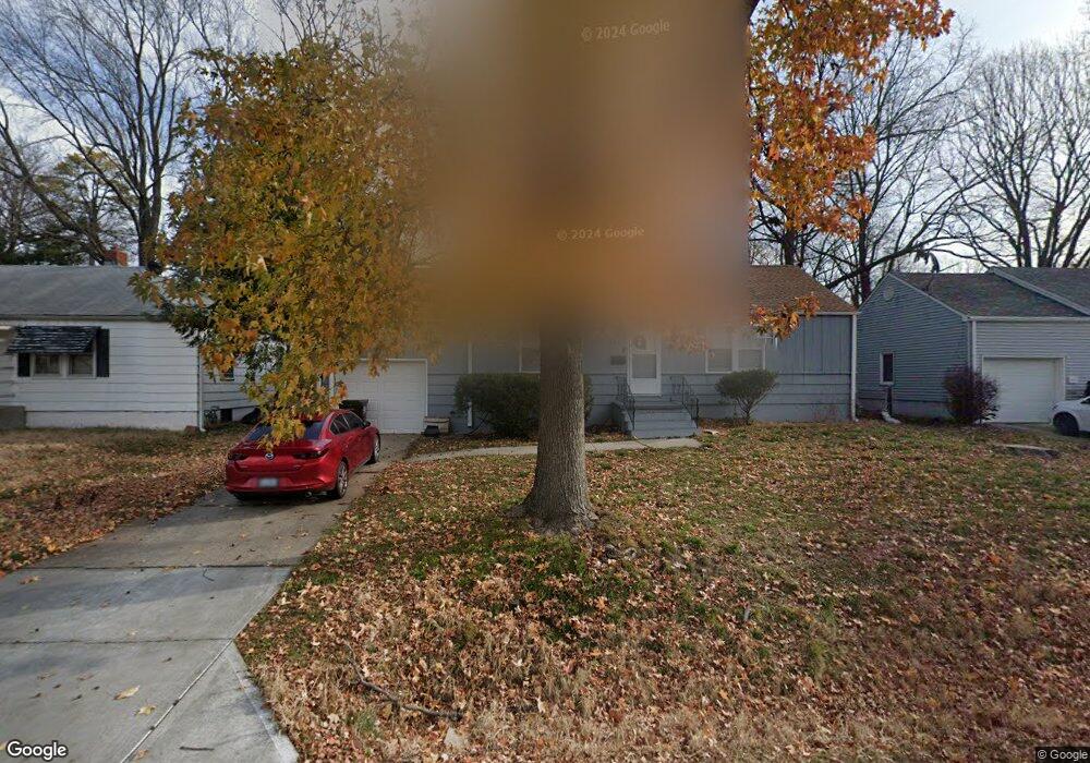
3415 S Cedar Ave Independence, MO 64052
Rock Creek South NeighborhoodEstimated Value: $153,000 - $175,000
2
Beds
1
Bath
912
Sq Ft
$180/Sq Ft
Est. Value
About This Home
This home is located at 3415 S Cedar Ave, Independence, MO 64052 and is currently estimated at $164,166, approximately $180 per square foot. 3415 S Cedar Ave is a home located in Jackson County with nearby schools including Three Trails Elementary School, Clifford H. Nowlin Middle School, and Van Horn High School.
Ownership History
Date
Name
Owned For
Owner Type
Purchase Details
Closed on
Feb 24, 2004
Sold by
Fannie Mae
Bought by
Soetaert Mark K
Current Estimated Value
Purchase Details
Closed on
Nov 22, 2000
Sold by
Vochatzer David P and Vochatzer Deborah L
Bought by
Vochatzer Joseph M
Home Financials for this Owner
Home Financials are based on the most recent Mortgage that was taken out on this home.
Original Mortgage
$52,800
Interest Rate
7.82%
Mortgage Type
Purchase Money Mortgage
Create a Home Valuation Report for This Property
The Home Valuation Report is an in-depth analysis detailing your home's value as well as a comparison with similar homes in the area
Home Values in the Area
Average Home Value in this Area
Purchase History
| Date | Buyer | Sale Price | Title Company |
|---|---|---|---|
| Soetaert Mark K | -- | Stewart Title | |
| Vochatzer Joseph M | -- | Realty Title Company |
Source: Public Records
Mortgage History
| Date | Status | Borrower | Loan Amount |
|---|---|---|---|
| Previous Owner | Vochatzer Joseph M | $52,800 |
Source: Public Records
Tax History
| Year | Tax Paid | Tax Assessment Tax Assessment Total Assessment is a certain percentage of the fair market value that is determined by local assessors to be the total taxable value of land and additions on the property. | Land | Improvement |
|---|---|---|---|---|
| 2025 | $1,388 | $16,333 | $3,692 | $12,641 |
| 2024 | $1,354 | $19,473 | $2,732 | $16,741 |
| 2023 | $1,354 | $19,473 | $2,635 | $16,838 |
| 2022 | $941 | $12,350 | $2,584 | $9,766 |
| 2021 | $937 | $12,350 | $2,584 | $9,766 |
| 2020 | $961 | $12,334 | $2,584 | $9,750 |
| 2019 | $947 | $12,334 | $2,584 | $9,750 |
| 2018 | $834 | $10,553 | $1,917 | $8,636 |
| 2016 | $816 | $10,093 | $2,153 | $7,940 |
Source: Public Records
Map
Nearby Homes
- 3410 Blue Ridge Blvd
- 9930 E 36th St S
- 3228 S Cedar Ave
- 9801 E 33rd St S
- 3401 S Denton Rd
- 9812 Linwood Blvd
- 10212 E 31st St S
- 3320 Blue Ridge Blvd
- 3720 Crescent Ave
- 00 S Denton Rd
- 3407 S Blue Ridge Cut Off N A
- 11120 E 36th St S
- 2929 S Northern Blvd
- 2916 S Northern Blvd
- 4018 Pittman Rd
- 3738 Ditzler Ave
- 3734 Ditzler Ave
- 3730 Ditzler Ave
- 4000 Crescent Ave
- 2916 S Mason Ave
- 3413 S Cedar Ave
- 3417 S Cedar Ave
- 3414 S Cedar Ave
- 3411 S Cedar Ave
- 3416 S Cedar Ave
- 3412 S Cedar Ave
- 3416 Blue Ridge Blvd
- 3410 S Cedar Ave
- 3409 S Cedar Ave
- 10101 E 35th St S
- 3420 Blue Ridge Blvd
- 10017 E 35th St S
- 3408 S Cedar Ave
- 3407 S Cedar Ave
- 3408 Blue Ridge Blvd
- 10013 E 35th St S
- 3431 S Home Ave
- 3406 S Cedar Ave
- 3429 S Home Ave
- 10009 E 35th St S
Your Personal Tour Guide
Ask me questions while you tour the home.