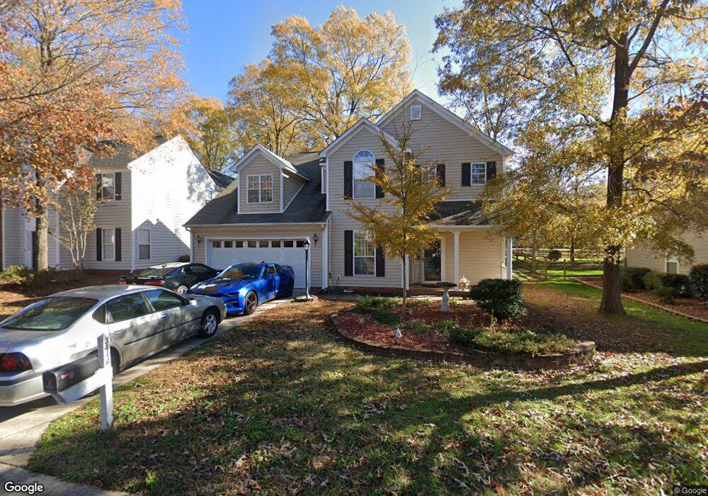
3416 Brooktree Ln Indian Trail, NC 28079
Estimated Value: $391,000 - $401,000
3
Beds
3
Baths
2,030
Sq Ft
$196/Sq Ft
Est. Value
About This Home
This home is located at 3416 Brooktree Ln, Indian Trail, NC 28079 and is currently estimated at $397,493, approximately $195 per square foot. 3416 Brooktree Ln is a home located in Union County with nearby schools including Sardis Elementary School, Porter Ridge Middle School, and Porter Ridge High School.
Ownership History
Date
Name
Owned For
Owner Type
Purchase Details
Closed on
Jun 24, 2000
Sold by
Daniel Burns J and Carroll Aimee Carroll
Bought by
Ferguson James D and Ferguson Jennifer
Current Estimated Value
Home Financials for this Owner
Home Financials are based on the most recent Mortgage that was taken out on this home.
Original Mortgage
$149,150
Outstanding Balance
$51,355
Interest Rate
8.3%
Estimated Equity
$346,138
Create a Home Valuation Report for This Property
The Home Valuation Report is an in-depth analysis detailing your home's value as well as a comparison with similar homes in the area
Purchase History
| Date | Buyer | Sale Price | Title Company |
|---|---|---|---|
| Ferguson James D | $157,000 | -- |
Source: Public Records
Mortgage History
| Date | Status | Borrower | Loan Amount |
|---|---|---|---|
| Open | Ferguson James D | $149,150 |
Source: Public Records
Tax History
| Year | Tax Paid | Tax Assessment Tax Assessment Total Assessment is a certain percentage of the fair market value that is determined by local assessors to be the total taxable value of land and additions on the property. | Land | Improvement |
|---|---|---|---|---|
| 2025 | $2,529 | $383,000 | $0 | $0 |
| 2024 | $2,151 | $254,600 | $41,600 | $213,000 |
| 2023 | $2,133 | $254,600 | $41,600 | $213,000 |
| 2022 | $2,133 | $254,600 | $41,600 | $213,000 |
| 2021 | $2,133 | $254,600 | $41,600 | $213,000 |
| 2020 | $1,304 | $167,300 | $26,500 | $140,800 |
| 2019 | $1,667 | $167,300 | $26,500 | $140,800 |
| 2018 | $1,304 | $167,300 | $26,500 | $140,800 |
| 2017 | $1,753 | $167,300 | $26,500 | $140,800 |
| 2016 | $1,715 | $167,300 | $26,500 | $140,800 |
| 2015 | $1,385 | $167,300 | $26,500 | $140,800 |
| 2014 | $1,181 | $165,300 | $25,000 | $140,300 |
Source: Public Records
Map
Nearby Homes
- 3312 Brookstone Trail
- 3402 Mayhurst Dr
- 3508 Mayhurst Dr
- 2006 Chapman St
- 3805 Balsam St Unit 322
- 3805 Balsam St Unit 223
- 3805 Balsam St Unit 321
- 6018 Creft Cir
- 1022 Mendenhall St
- 3800 York Aly
- 3610 Esther St
- 1010 Mapletree Ln
- 1069 Mapletree Ln
- 1092 Mapletree Ln
- 1073 Mapletree Ln
- 1085 Mapletree Ln
- 1077 Mapletree Ln
- 3702 Esther St
- 6600 Conifer Cir
- 3702 Arthur St
- 3418 Brooktree Ln
- 3414 Brooktree Ln
- 3500 Brooktree Ln
- 3412 Brooktree Ln
- 3415 Brooktree Ln
- 4501 Crystal Creek Ct
- 3502 Brooktree Ln
- 3413 Brooktree Ln
- 3415 Lake Park Rd
- 3410 Brooktree Ln
- 3419 Lake Park Rd
- 3501 Brooktree Ln
- 3411 Brooktree Ln
- 3504 Brooktree Ln
- 3411 Lake Park Rd
- 0 Brooktree Ln 3503
- 3408 Brooktree Ln
- 3503 Brooktree Ln
- 4503 Crystal Creek Ct
- 3501 Lake Park Rd
Your Personal Tour Guide
Ask me questions while you tour the home.