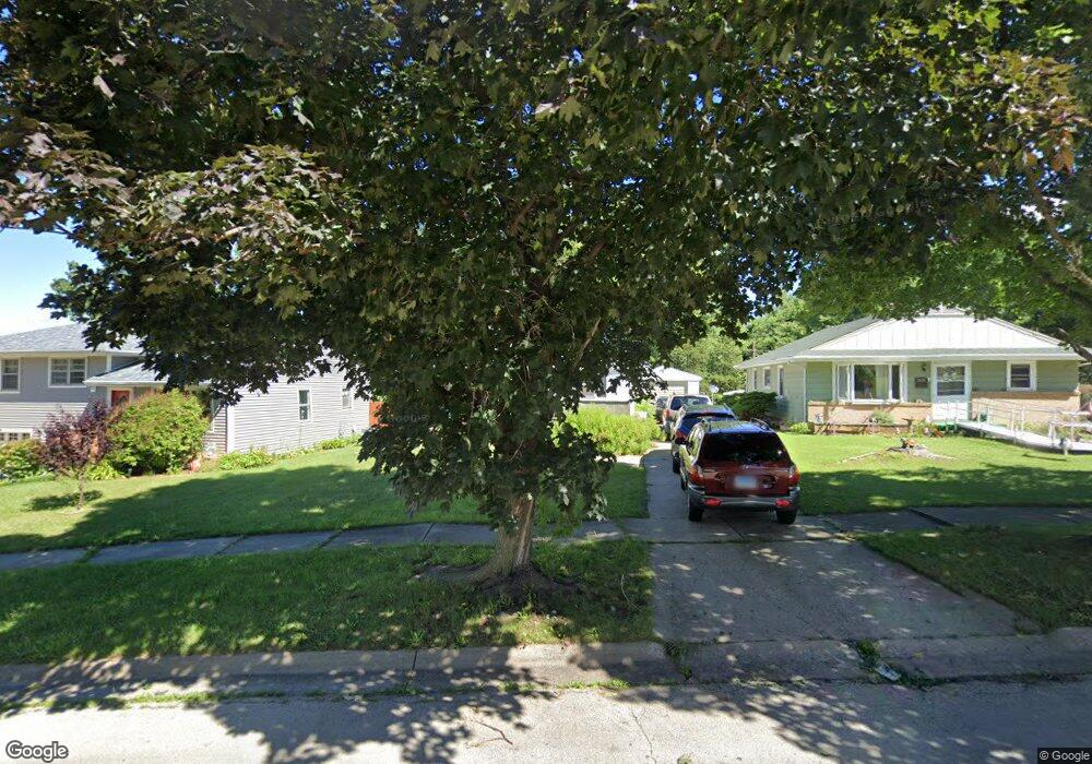
3416 Michael Dr Rockford, IL 61108
Twin Sister Hills NeighborhoodEstimated Value: $141,011 - $157,000
3
Beds
1
Bath
1,016
Sq Ft
$146/Sq Ft
Est. Value
About This Home
This home is located at 3416 Michael Dr, Rockford, IL 61108 and is currently estimated at $148,253, approximately $145 per square foot. 3416 Michael Dr is a home located in Winnebago County with nearby schools including Maud E. Johnson Elementary School, Abraham Lincoln Middle School, and Rockford East High School.
Ownership History
Date
Name
Owned For
Owner Type
Purchase Details
Closed on
Mar 31, 2023
Sold by
Clayton Kathryn M
Bought by
Cardenas Raul A
Current Estimated Value
Home Financials for this Owner
Home Financials are based on the most recent Mortgage that was taken out on this home.
Original Mortgage
$56,000
Outstanding Balance
$54,362
Interest Rate
6.32%
Mortgage Type
New Conventional
Estimated Equity
$93,891
Purchase Details
Closed on
Apr 14, 2006
Bought by
Clayton Kathryn
Create a Home Valuation Report for This Property
The Home Valuation Report is an in-depth analysis detailing your home's value as well as a comparison with similar homes in the area
Home Values in the Area
Average Home Value in this Area
Purchase History
| Date | Buyer | Sale Price | Title Company |
|---|---|---|---|
| Cardenas Raul A | $70,000 | -- | |
| Clayton Kathryn | $102,000 | -- |
Source: Public Records
Mortgage History
| Date | Status | Borrower | Loan Amount |
|---|---|---|---|
| Open | Cardenas Raul A | $56,000 | |
| Closed | Cardenas Raul A | $6,000 |
Source: Public Records
Tax History
| Year | Tax Paid | Tax Assessment Tax Assessment Total Assessment is a certain percentage of the fair market value that is determined by local assessors to be the total taxable value of land and additions on the property. | Land | Improvement |
|---|---|---|---|---|
| 2024 | $2,710 | $34,602 | $4,365 | $30,237 |
| 2023 | $3,168 | $30,511 | $3,849 | $26,662 |
| 2022 | $3,116 | $27,271 | $3,440 | $23,831 |
| 2021 | $3,065 | $25,005 | $3,154 | $21,851 |
| 2020 | $2,855 | $22,204 | $2,982 | $19,222 |
| 2019 | $2,835 | $21,163 | $2,842 | $18,321 |
| 2018 | $2,397 | $19,945 | $2,678 | $17,267 |
| 2017 | $2,832 | $19,088 | $2,563 | $16,525 |
| 2016 | $1,923 | $18,730 | $2,515 | $16,215 |
| 2015 | $1,947 | $18,730 | $2,515 | $16,215 |
| 2014 | $2,506 | $21,669 | $3,148 | $18,521 |
Source: Public Records
Map
Nearby Homes
- 316 29th St
- 3715 Marieme Dr
- 3711 Oak Grove Ave
- 413 27th St
- 417 27th St
- 719 Parkside Dr
- 116 Vale Ave
- 419 Roland Ave
- 320 Vale Ave
- 404 Vale Ave
- 430 Hollister Ave
- 1316 25th St
- 216 Robert Ave
- 531 S Rockford Ave
- 4516 Raven St
- 2322 E State St
- 1607 Macarthur Dr
- 3704 Corbridge Ln
- 708 Coolidge Place
- 430 Shaw St
- 3420 Michael Dr
- 3412 Michael Dr
- 3408 Michael Dr
- 315 Fairview Ave
- 3409 Shirley Rd
- 3404 Michael Dr
- 319 Fairview Ave
- 3415 Shirley Rd
- 311 Fairview Ave
- 306 Glendale Ave
- 307 Fairview Ave
- 3425 Michael Dr
- 3427 Shirley Rd
- 3419 Michael Dr
- 3415 Michael Dr
- 3411 Michael Dr
- 309 Glendale Ave
- 3407 Michael Dr
- 409 Fairview Ave
- 315 Glendale Ave
Your Personal Tour Guide
Ask me questions while you tour the home.