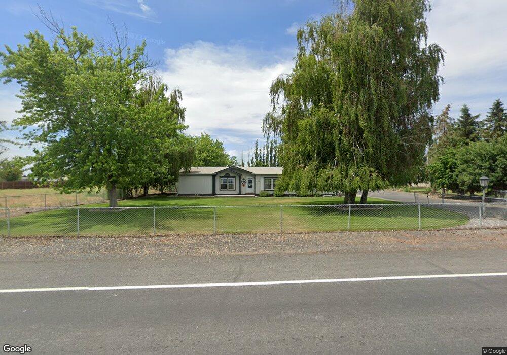
3416 Westshore Dr NE Moses Lake, WA 98837
Estimated Value: $397,000 - $495,886
3
Beds
2
Baths
1,768
Sq Ft
$245/Sq Ft
Est. Value
About This Home
This home is located at 3416 Westshore Dr NE, Moses Lake, WA 98837 and is currently estimated at $432,722, approximately $244 per square foot. 3416 Westshore Dr NE is a home located in Grant County with nearby schools including Peninsula Elementary School, Frontier Middle School, and Moses Lake High School.
Ownership History
Date
Name
Owned For
Owner Type
Purchase Details
Closed on
Mar 9, 2011
Sold by
Mill Iris E
Bought by
Davis Jimmie R and Lovett Davis Ava J
Current Estimated Value
Home Financials for this Owner
Home Financials are based on the most recent Mortgage that was taken out on this home.
Original Mortgage
$85,000
Outstanding Balance
$58,348
Interest Rate
4.77%
Mortgage Type
New Conventional
Estimated Equity
$374,374
Create a Home Valuation Report for This Property
The Home Valuation Report is an in-depth analysis detailing your home's value as well as a comparison with similar homes in the area
Home Values in the Area
Average Home Value in this Area
Purchase History
| Date | Buyer | Sale Price | Title Company |
|---|---|---|---|
| Davis Jimmie R | $175,000 | Stewart Title | |
| Mill Iris E | -- | Stewart Title |
Source: Public Records
Mortgage History
| Date | Status | Borrower | Loan Amount |
|---|---|---|---|
| Open | Davis Jimmie R | $85,000 |
Source: Public Records
Tax History Compared to Growth
Tax History
| Year | Tax Paid | Tax Assessment Tax Assessment Total Assessment is a certain percentage of the fair market value that is determined by local assessors to be the total taxable value of land and additions on the property. | Land | Improvement |
|---|---|---|---|---|
| 2024 | $2,442 | $214,918 | $56,000 | $158,918 |
| 2023 | $2,671 | $217,815 | $37,600 | $180,215 |
| 2022 | $2,596 | $217,815 | $37,600 | $180,215 |
| 2021 | $2,424 | $217,815 | $37,600 | $180,215 |
| 2020 | $2,474 | $197,525 | $37,600 | $159,925 |
| 2019 | $1,921 | $142,010 | $19,320 | $122,690 |
| 2018 | $2,263 | $143,530 | $19,320 | $124,210 |
| 2017 | $1,855 | $128,070 | $19,320 | $108,750 |
| 2016 | $1,745 | $117,915 | $19,320 | $98,595 |
| 2013 | -- | $71,295 | $18,400 | $52,895 |
Source: Public Records
Map
Nearby Homes
- 3348 Westshore Dr NE
- 3071 Westshore Dr NE
- 3064 Westshore Dr NE
- 6400 Road 3 NE
- 6479 Road 3 NE
- 3406 Wild Goose Rd NE
- 6354 Murray Way NE
- 4095 Quinn Dr NE Unit A-4
- 6401 Farrer Way
- 3095 Road E.5 NE
- 4268 Hedman Ct
- 7322 Blue Goose Rd NE
- 4114 Shorecrest Dr NE
- 2873 Wild Goose Rd NE
- 6433 2 15 Rd NE
- 6428 NE Road 2 05
- 6427 Road 2 05 NE
- 4716 E 7 Rd NE
- 7847 Blackbird Loop NE
- 7897 Blackbird Loop NE
- 3440 Westshore Dr NE
- 3368 Westshore Dr NE
- 3462 Westshore Dr NE
- 3490 Westshore Dr NE
- 3455 Westshore Dr NE
- 3328 Westshore Dr NE
- 3387 Firouzi Dr NE
- 3357 Westshore Dr NE
- 3431 Firouzi Dr NE
- 3473 Westshore Dr NE
- 3415 Westshore Dr NE
- 3367 Firouzi Dr NE
- 3377 Westshore Dr NE
- 3493 Westshore Dr NE
- 3461 Firouzi Dr NE
- 3347 Firouzi Dr NE
- 3308 Westshore Dr NE
- 3422 Firouzi Dr NE
- 3286 Westshore Dr NE
- 3317 Westshore Dr NE