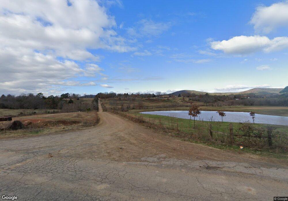
34171 Morgan Hill Rd Wister, OK 74966
Estimated Value: $299,000
3
Beds
2
Baths
1,959
Sq Ft
$153/Sq Ft
Est. Value
About This Home
This home is located at 34171 Morgan Hill Rd, Wister, OK 74966 and is currently estimated at $299,000, approximately $152 per square foot. 34171 Morgan Hill Rd is a home with nearby schools including Wister Elementary School and Wister High School.
Ownership History
Date
Name
Owned For
Owner Type
Purchase Details
Closed on
Jan 4, 2013
Sold by
Cox Bobby
Bought by
Crane J M Rickey and Crane Diane
Current Estimated Value
Home Financials for this Owner
Home Financials are based on the most recent Mortgage that was taken out on this home.
Original Mortgage
$1,155,376
Outstanding Balance
$799,355
Interest Rate
3.34%
Mortgage Type
Future Advance Clause Open End Mortgage
Estimated Equity
-$500,355
Purchase Details
Closed on
Feb 26, 2009
Sold by
Tamplin Reba J and Tamplin Jerry O
Bought by
Woolbright Chris J and Woolbright Lisa R
Create a Home Valuation Report for This Property
The Home Valuation Report is an in-depth analysis detailing your home's value as well as a comparison with similar homes in the area
Home Values in the Area
Average Home Value in this Area
Purchase History
| Date | Buyer | Sale Price | Title Company |
|---|---|---|---|
| Crane J M Rickey | $1,150,000 | None Available | |
| Woolbright Chris J | -- | -- |
Source: Public Records
Mortgage History
| Date | Status | Borrower | Loan Amount |
|---|---|---|---|
| Open | Crane J M Rickey | $1,155,376 |
Source: Public Records
Tax History Compared to Growth
Tax History
| Year | Tax Paid | Tax Assessment Tax Assessment Total Assessment is a certain percentage of the fair market value that is determined by local assessors to be the total taxable value of land and additions on the property. | Land | Improvement |
|---|---|---|---|---|
| 2025 | $1,403 | $19,490 | $711 | $18,779 |
| 2024 | $1,403 | $19,489 | $690 | $18,799 |
| 2023 | $1,403 | $18,371 | $690 | $17,681 |
| 2022 | $1,417 | $17,836 | $690 | $17,146 |
| 2021 | $1,375 | $17,317 | $1,172 | $16,145 |
| 2020 | $1,400 | $17,494 | $1,172 | $16,322 |
| 2019 | $1,385 | $17,379 | $1,099 | $16,280 |
| 2018 | $1,348 | $16,874 | $1,108 | $15,766 |
| 2017 | $1,418 | $16,381 | $1,065 | $15,316 |
| 2016 | $1,388 | $15,905 | $1,024 | $14,881 |
| 2015 | $1,233 | $15,441 | $1,106 | $14,335 |
| 2014 | $1,191 | $14,992 | $1,064 | $13,928 |
Source: Public Records
Map
Nearby Homes
- 15 ac Fruit Farm Rd
- 33456 Ogden Mill Rd
- Tract 9 Ogden Mills Trail
- Tract 6 Ogden Mills Trail
- 001 Ogden Mill Rd
- 0 Ogden Mills Trail
- 15 Fruit Farm Rd
- 24802 Wolf Mountain Rd
- TBD Lot 38 Wolf Trail
- TBD Lot 37 Wolf Trail
- TBD Lot 36 Wolf Trail
- TBD Wolf Trail
- 34667 Wolf Trail
- Tract 3 Cabo Ct
- Tract 2 Cabo Ct
- Tract 1 Cabo Ct
- TBD Lot 78 Cabo Ct
- TBD Lot 79 Cabo Ct
- TBD Lot 75 Cabo Ct
- 23708 Wolf Trail
- 27449 Fruit Farm Rd
- 27449 Fruit Farm Rd
- 34175 Morgan Hill Rd
- 34109 Morgan Hill Rd
- 34021 Morgan Hill Rd
- 34074 Morgan Hill Rd
- 34080 Morgan Hill Rd
- 27582 Fruit Farm Rd
- 26766 Fruit Farm Rd
- 34466 Morgan Hill Rd
- 34471 Morgan Hill Rd
- 27150 Harmony Ln
- 26676 Fruit Farm Rd
- 26716 Vaughn Loop
- 27139 Harmony Ln
- 33456 Ogden Mills Rd
- 27738 Fruit Farm Rd
- 26706 Vaughn Loop
- 26732 Vaughn Loop
- 26472 Fruit Farm Rd