3418 2nd St Wayland, MI 49348
Estimated Value: $569,000 - $943,044
4
Beds
3
Baths
1,745
Sq Ft
$433/Sq Ft
Est. Value
About This Home
This home is located at 3418 2nd St, Wayland, MI 49348 and is currently estimated at $756,022, approximately $433 per square foot. 3418 2nd St is a home with nearby schools including Wayland High School.
Ownership History
Date
Name
Owned For
Owner Type
Purchase Details
Closed on
Mar 28, 2013
Sold by
Estate Of Donald Wobma
Bought by
Longstreet Matthew J and Longstreet Amber G
Current Estimated Value
Home Financials for this Owner
Home Financials are based on the most recent Mortgage that was taken out on this home.
Original Mortgage
$222,000
Interest Rate
3.46%
Mortgage Type
Future Advance Clause Open End Mortgage
Purchase Details
Closed on
Jul 13, 2011
Sold by
Wobma David and Estate Of Donald Wobma
Bought by
Mielke Cynthia and Lewis Wayne
Home Financials for this Owner
Home Financials are based on the most recent Mortgage that was taken out on this home.
Original Mortgage
$90,000
Interest Rate
4.56%
Mortgage Type
New Conventional
Purchase Details
Closed on
Jun 30, 2011
Sold by
Wobma David and Estate Of Donald P Wobma
Bought by
Kindy Marshall B and Decker Ronald J
Home Financials for this Owner
Home Financials are based on the most recent Mortgage that was taken out on this home.
Original Mortgage
$90,000
Interest Rate
4.56%
Mortgage Type
New Conventional
Create a Home Valuation Report for This Property
The Home Valuation Report is an in-depth analysis detailing your home's value as well as a comparison with similar homes in the area
Home Values in the Area
Average Home Value in this Area
Purchase History
| Date | Buyer | Sale Price | Title Company |
|---|---|---|---|
| Longstreet Matthew J | $110,000 | Chicago Title | |
| Mielke Cynthia | $122,000 | Chicago Title | |
| Kindy Marshall B | $12,000 | None Available |
Source: Public Records
Mortgage History
| Date | Status | Borrower | Loan Amount |
|---|---|---|---|
| Closed | Longstreet Matthew J | $222,000 | |
| Previous Owner | Mielke Cynthia | $90,000 |
Source: Public Records
Tax History Compared to Growth
Tax History
| Year | Tax Paid | Tax Assessment Tax Assessment Total Assessment is a certain percentage of the fair market value that is determined by local assessors to be the total taxable value of land and additions on the property. | Land | Improvement |
|---|---|---|---|---|
| 2025 | $7,145 | $417,100 | $110,800 | $306,300 |
| 2024 | $6,245 | $406,300 | $97,600 | $308,700 |
| 2023 | $6,416 | $384,400 | $99,500 | $284,900 |
| 2022 | $6,245 | $353,400 | $77,300 | $276,100 |
| 2021 | $5,901 | $340,700 | $82,500 | $258,200 |
| 2020 | $5,742 | $332,300 | $68,700 | $263,600 |
| 2019 | $5,581 | $265,700 | $68,700 | $197,000 |
| 2018 | $5,465 | $210,400 | $59,400 | $151,000 |
| 2017 | $0 | $207,800 | $59,400 | $148,400 |
| 2016 | $0 | $195,500 | $63,400 | $132,100 |
| 2015 | -- | $195,500 | $63,400 | $132,100 |
| 2014 | -- | $187,600 | $68,800 | $118,800 |
| 2013 | -- | $33,800 | $33,800 | $0 |
Source: Public Records
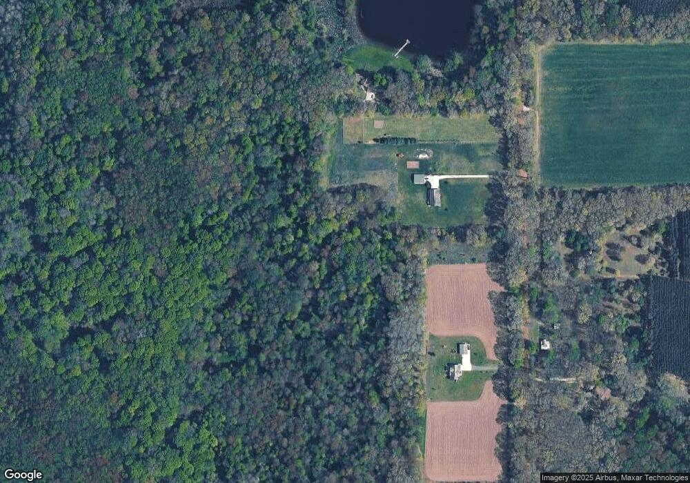
Map
Nearby Homes
- 12720 S Grey Ct
- 12857 Michael Dr Unit 49
- 1164 E Bernie Ct
- 1391 Shadowridge Dr
- 516 131st Ave
- 11753 Rosemary Ln
- 11751 Rosemary Ln
- 619 137th Ave
- 3214 7th St
- 2615 Harwood Lake Rd
- 12031 Sandstone Dr
- 4007 2nd St
- 12169 Pine Meadows Dr
- 11401 Davis Rd
- 3296 Stonehill Ct
- 843 Wild Flower Ct
- 835 Wild Flower Ct
- 3282 Stonehill Ct
- 590 129th Ave
- 330 Lotz Ct