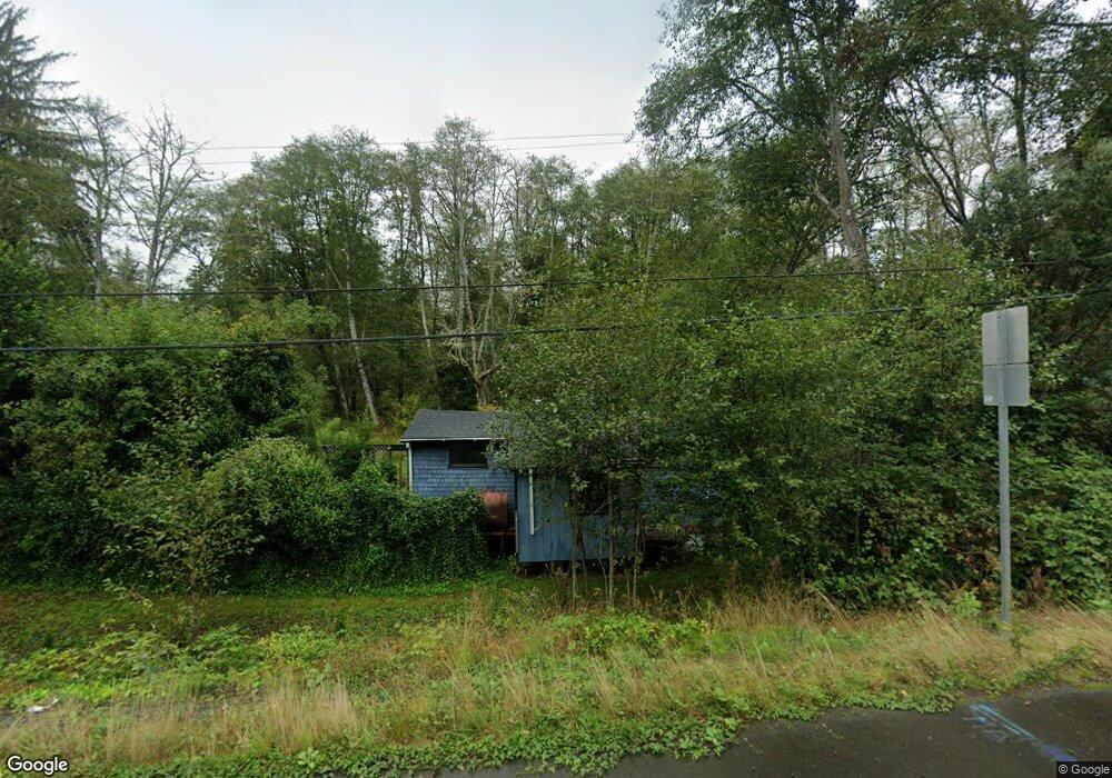
34197 U S 26 Seaside, OR 97138
Estimated Value: $217,000 - $372,231
1
Bed
1
Bath
656
Sq Ft
$435/Sq Ft
Est. Value
About This Home
This home is located at 34197 U S 26, Seaside, OR 97138 and is currently estimated at $285,308, approximately $434 per square foot. 34197 U S 26 is a home located in Clatsop County with nearby schools including Seaside High School.
Ownership History
Date
Name
Owned For
Owner Type
Purchase Details
Closed on
Nov 22, 2022
Sold by
Crowell Landon K
Bought by
Kingston Holdings Llc
Current Estimated Value
Home Financials for this Owner
Home Financials are based on the most recent Mortgage that was taken out on this home.
Original Mortgage
$97,500
Interest Rate
6.95%
Mortgage Type
Construction
Purchase Details
Closed on
May 28, 2008
Sold by
Degandi Bonita L
Bought by
Crowell Landon K
Home Financials for this Owner
Home Financials are based on the most recent Mortgage that was taken out on this home.
Original Mortgage
$77,500
Interest Rate
5.87%
Mortgage Type
Seller Take Back
Purchase Details
Closed on
Sep 23, 2005
Sold by
Jurgensen Erma J
Bought by
Degandi Leslie A and Degandi Bonita L
Create a Home Valuation Report for This Property
The Home Valuation Report is an in-depth analysis detailing your home's value as well as a comparison with similar homes in the area
Home Values in the Area
Average Home Value in this Area
Purchase History
| Date | Buyer | Sale Price | Title Company |
|---|---|---|---|
| Kingston Holdings Llc | -- | Old Republic Title | |
| Crowell Landon K | $100,000 | Ticor Title Ins Co | |
| Degandi Leslie A | $125,000 | Ticor Title Ins Co |
Source: Public Records
Mortgage History
| Date | Status | Borrower | Loan Amount |
|---|---|---|---|
| Closed | Kingston Holdings Llc | $97,500 | |
| Previous Owner | Crowell Landon K | $77,500 |
Source: Public Records
Tax History Compared to Growth
Tax History
| Year | Tax Paid | Tax Assessment Tax Assessment Total Assessment is a certain percentage of the fair market value that is determined by local assessors to be the total taxable value of land and additions on the property. | Land | Improvement |
|---|---|---|---|---|
| 2025 | $2,003 | $151,991 | -- | -- |
| 2024 | $1,932 | $147,565 | -- | -- |
| 2023 | $1,875 | $143,268 | $0 | $0 |
| 2022 | $1,828 | $139,096 | $0 | $0 |
| 2021 | $1,790 | $135,046 | $0 | $0 |
| 2020 | $1,748 | $131,114 | $0 | $0 |
| 2019 | $1,700 | $127,296 | $0 | $0 |
| 2018 | $1,630 | $123,589 | $0 | $0 |
| 2017 | $1,505 | $119,991 | $0 | $0 |
| 2016 | $1,303 | $116,497 | $45,691 | $70,806 |
| 2015 | $1,263 | $113,105 | $44,361 | $68,744 |
| 2014 | $1,213 | $109,811 | $0 | $0 |
| 2013 | -- | $106,614 | $0 | $0 |
Source: Public Records
Map
Nearby Homes
- 84886 Highway 101
- 84886 U S 101
- 84915 Highway 101
- 84915 Hwy 101
- 85203 Us-101
- 85203 Hwy 101
- 36046 Highway 26
- 683 E 6th St
- Lots14 &15 Birch St
- Lots 14&15 Birch St
- 0 Birch St Unit 777670854
- 548 Beech St
- 780 Monica Ct
- 740 Monica Ct
- 00 E 6th St
- 0 Ecola Park Rd Unit 5026 340201337
- 0 Ecola Park Rd Unit 5034 738657219
- 715 N Laurel St
- 420 Elk Creek Rd Unit 401
- 420 Elk Creek Rd
- 34197 Highway 26
- 34167 Highway 26
- 34245 Highway 26 Unit 34243
- 34154 Highway 26
- 34112 Highway 26
- 34045 Highway 26
- 34045 Hwy 26
- 34334 Highway 26
- 34043 Sunset Hwy
- 34043 U S Highway 26
- 34043 Highway 26
- 34043 Hwy 26
- 34364 Highway 26
- 34042 Highway 26
- 34353 Highway 26
- 34353 Hwy 26
- 34381 Highway 26
- 34383 Highway 26
- 33963 Coles Ln
- 33965 Coles Ln