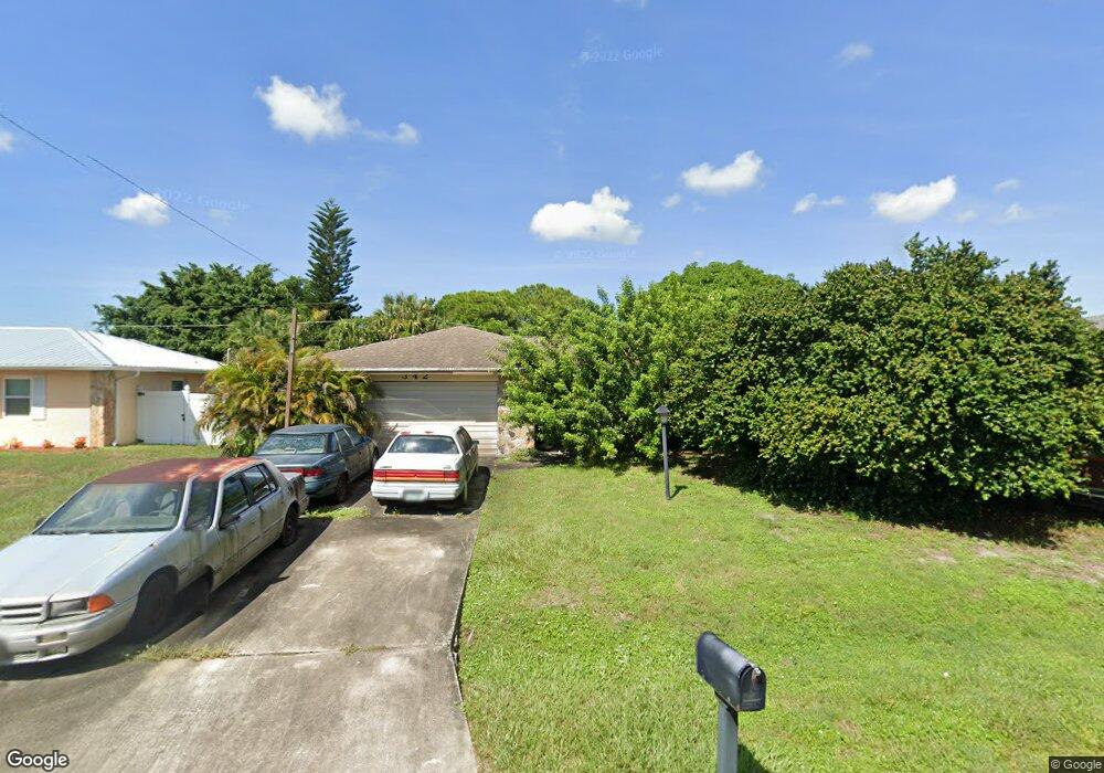
342 Brandt Ave NE Palm Bay, FL 32907
Port Malabar NeighborhoodEstimated Value: $285,000 - $351,000
3
Beds
2
Baths
2,457
Sq Ft
$130/Sq Ft
Est. Value
About This Home
This home is located at 342 Brandt Ave NE, Palm Bay, FL 32907 and is currently estimated at $319,374, approximately $129 per square foot. 342 Brandt Ave NE is a home located in Brevard County with nearby schools including Port Malabar Elementary School, Stone Magnet Middle School, and Palm Bay Magnet Senior High School.
Ownership History
Date
Name
Owned For
Owner Type
Purchase Details
Closed on
Jan 14, 2000
Sold by
Thomas Ronald G
Bought by
Thomas Ronald G
Current Estimated Value
Home Financials for this Owner
Home Financials are based on the most recent Mortgage that was taken out on this home.
Original Mortgage
$46,450
Outstanding Balance
$14,792
Interest Rate
7.87%
Mortgage Type
New Conventional
Estimated Equity
$304,582
Purchase Details
Closed on
May 10, 1994
Sold by
Thomas Ronald G
Bought by
Ronald G Thomas Tr
Create a Home Valuation Report for This Property
The Home Valuation Report is an in-depth analysis detailing your home's value as well as a comparison with similar homes in the area
Home Values in the Area
Average Home Value in this Area
Purchase History
| Date | Buyer | Sale Price | Title Company |
|---|---|---|---|
| Thomas Ronald G | -- | -- | |
| Thomas Ronald G | -- | -- | |
| Ronald G Thomas Tr | -- | -- |
Source: Public Records
Mortgage History
| Date | Status | Borrower | Loan Amount |
|---|---|---|---|
| Open | Thomas Ronald G | $46,450 |
Source: Public Records
Tax History Compared to Growth
Tax History
| Year | Tax Paid | Tax Assessment Tax Assessment Total Assessment is a certain percentage of the fair market value that is determined by local assessors to be the total taxable value of land and additions on the property. | Land | Improvement |
|---|---|---|---|---|
| 2025 | $5,211 | $292,420 | -- | -- |
| 2024 | $4,892 | $307,540 | -- | -- |
| 2023 | $4,892 | $292,730 | $0 | $0 |
| 2022 | $4,460 | $268,150 | $0 | $0 |
| 2021 | $4,066 | $200,140 | $18,500 | $181,640 |
| 2020 | $3,790 | $188,210 | $15,000 | $173,210 |
| 2019 | $3,834 | $178,500 | $14,000 | $164,500 |
| 2018 | $3,542 | $168,830 | $12,500 | $156,330 |
| 2017 | $3,327 | $148,760 | $8,200 | $140,560 |
| 2016 | $2,892 | $135,740 | $5,500 | $130,240 |
| 2015 | $989 | $83,290 | $5,500 | $77,790 |
| 2014 | $988 | $82,630 | $5,500 | $77,130 |
Source: Public Records
Map
Nearby Homes
- 449 Brookdale Ave NE
- 000 Pioneer Ave NE
- 458 Beauregard Ave NE
- 1886 Garcia St NE
- 1712 Apache St NE
- 1779 Fallon Blvd NE
- 1795 Fallon Blvd NE Unit 6
- 1787 Fallon Blvd NE
- 2171 Fallon Blvd NE
- 225 Veldo Ave NE
- 2350 Fallon Blvd NE
- 2040 Agora Cir SE
- 1581 Charles Blvd NE
- 2197 Paoli Dr NE
- 2280 Fallon Blvd NE
- 1544 Nona St NE
- 2407 Fallon Blvd NE
- 6125 Babcock St SE
- 2206 Hialeah St
- 1636 Moonbeam Dr Unit 1636
- 360 Brandt Ave NE
- 324 Brandt Ave NE
- 327 Harvey Ave NE
- 313 Harvey Ave NE
- 341 Harvey Ave NE
- 378 Brandt Ave NE
- 306 Brandt Ave NE
- 341 Brandt Ave NE
- 359 Brandt Ave NE
- 323 Brandt Ave NE
- 307 Harvey Ave NE
- 355 Harvey Ave NE
- 377 Brandt Ave NE
- 396 Brandt Ave NE
- 000 Barker St Brandt Ave NE
- 305 Brandt Ave NE
- 298 Brandt Ave NE
- 00 Barker St Harvey Ave NE
- 297 Harvey Ave NE
- 0 Corner of Harvy Barker