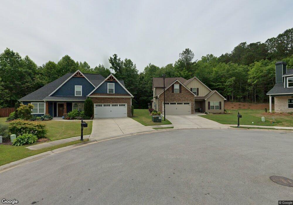
342 Brookstone Dr Carrollton, GA 30116
Estimated Value: $384,672 - $427,000
4
Beds
3
Baths
2,617
Sq Ft
$156/Sq Ft
Est. Value
About This Home
This home is located at 342 Brookstone Dr, Carrollton, GA 30116 and is currently estimated at $407,918, approximately $155 per square foot. 342 Brookstone Dr is a home with nearby schools including Carrollton Elementary School, Carrollton Upper Elementary School, and Carrollton Middle School.
Ownership History
Date
Name
Owned For
Owner Type
Purchase Details
Closed on
Nov 21, 2016
Sold by
Arbor Design Grp Llc
Bought by
Wnuck Thomas K and Wnuck Nancy A
Current Estimated Value
Home Financials for this Owner
Home Financials are based on the most recent Mortgage that was taken out on this home.
Original Mortgage
$173,840
Outstanding Balance
$140,002
Interest Rate
3.52%
Mortgage Type
New Conventional
Estimated Equity
$267,916
Purchase Details
Closed on
Jul 14, 2016
Bought by
Arbor Design Grp Llc
Home Financials for this Owner
Home Financials are based on the most recent Mortgage that was taken out on this home.
Original Mortgage
$162,975
Interest Rate
3.54%
Mortgage Type
Commercial
Create a Home Valuation Report for This Property
The Home Valuation Report is an in-depth analysis detailing your home's value as well as a comparison with similar homes in the area
Home Values in the Area
Average Home Value in this Area
Purchase History
| Date | Buyer | Sale Price | Title Company |
|---|---|---|---|
| Wnuck Thomas K | $217,300 | -- | |
| Arbor Design Grp Llc | $25,000 | -- |
Source: Public Records
Mortgage History
| Date | Status | Borrower | Loan Amount |
|---|---|---|---|
| Open | Wnuck Thomas K | $173,840 | |
| Previous Owner | Arbor Design Grp Llc | $162,975 |
Source: Public Records
Tax History Compared to Growth
Tax History
| Year | Tax Paid | Tax Assessment Tax Assessment Total Assessment is a certain percentage of the fair market value that is determined by local assessors to be the total taxable value of land and additions on the property. | Land | Improvement |
|---|---|---|---|---|
| 2024 | $3,856 | $159,300 | $10,000 | $149,300 |
| 2023 | $3,856 | $162,142 | $10,000 | $152,142 |
| 2022 | $3,460 | $132,044 | $10,000 | $122,044 |
| 2021 | $3,052 | $114,303 | $10,000 | $104,303 |
| 2020 | $2,983 | $111,186 | $10,000 | $101,186 |
| 2019 | $2,774 | $101,046 | $10,000 | $91,046 |
| 2018 | $2,659 | $94,533 | $10,000 | $84,533 |
| 2017 | $2,493 | $87,194 | $10,000 | $77,194 |
| 2016 | $151 | $5,000 | $5,000 | $0 |
| 2015 | $77 | $2,500 | $2,500 | $0 |
| 2014 | $78 | $2,500 | $2,500 | $0 |
Source: Public Records
Map
Nearby Homes
- 335 Brookstone Dr
- 333 Brookstone Dr
- 143 Brookstone Dr
- 141 Mill Pond Crossing
- 141 Mill Pond Crossing Unit A3
- 217 Summer Chase
- 216 Lane Dr
- 214 Lane Dr
- 212 Lane Dr Unit LOT 60
- 212 Lane Dr
- 210 Lane Dr Unit LOT 61
- 210 Lane Dr
- 207 Retreat Way
- 207 Meadow Lake Dr
- 202 Laney Dr
- 301 Retreat Way
- 112 Lane Dr
- 112 Lane Dr Unit LOT 68
- 214 Meadow Run
- 39 Hampton Way
- 341 Brookstone Dr
- 338 Brookstone Dr
- 336 Brookstone Dr
- 334 Brookstone Dr
- 332 Brookstone Dr
- 307 Stonecrest Dr
- 303 Stonecrest Dr
- 305 Stonecrest Dr
- 262 Blandenburg Rd
- 311 Stonecrest Dr
- 330 Brookstone Dr
- 313 Stonecrest Dr
- 0 Stonecrest Dr Unit 7036572
- 0 Stonecrest Dr Unit 8960541
- 0 Stonecrest Dr Unit 9004156
- 0 Stonecrest Dr Unit 9001113
- 0 Stonecrest Dr Unit 8800416
- 0 Stonecrest Dr Unit 8825948
- 0 Stonecrest Dr Unit 8833393
- 0 Stonecrest Dr Unit 8865910