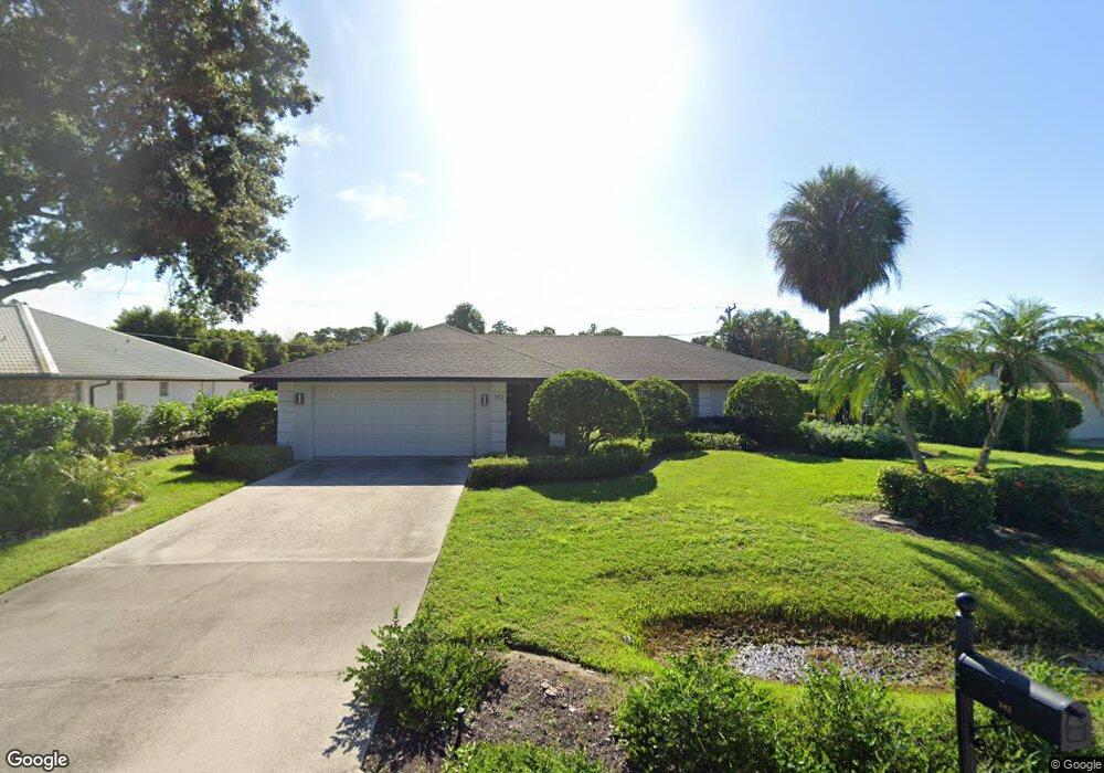
342 Burning Tree Dr Naples, FL 34105
Moorings Park-Hawks Ridge NeighborhoodEstimated Value: $904,000 - $1,400,000
3
Beds
2
Baths
1,700
Sq Ft
$644/Sq Ft
Est. Value
About This Home
This home is located at 342 Burning Tree Dr, Naples, FL 34105 and is currently estimated at $1,095,526, approximately $644 per square foot. 342 Burning Tree Dr is a home located in Collier County with nearby schools including Sea Gate Elementary School, Pine Ridge Middle School, and Barron Collier High School.
Ownership History
Date
Name
Owned For
Owner Type
Purchase Details
Closed on
Feb 10, 2008
Sold by
Rieland Susan A
Bought by
Rieland Susan A
Current Estimated Value
Purchase Details
Closed on
Dec 3, 1998
Sold by
Bogen Margaret L and Edward Bogen W
Bought by
Rieland Susan A
Home Financials for this Owner
Home Financials are based on the most recent Mortgage that was taken out on this home.
Original Mortgage
$173,600
Outstanding Balance
$39,399
Interest Rate
6.77%
Mortgage Type
Purchase Money Mortgage
Estimated Equity
$1,056,127
Create a Home Valuation Report for This Property
The Home Valuation Report is an in-depth analysis detailing your home's value as well as a comparison with similar homes in the area
Home Values in the Area
Average Home Value in this Area
Purchase History
| Date | Buyer | Sale Price | Title Company |
|---|---|---|---|
| Rieland Susan A | $75,000 | None Available | |
| Rieland Susan A | $217,000 | -- |
Source: Public Records
Mortgage History
| Date | Status | Borrower | Loan Amount |
|---|---|---|---|
| Open | Rieland Susan A | $173,600 |
Source: Public Records
Tax History
| Year | Tax Paid | Tax Assessment Tax Assessment Total Assessment is a certain percentage of the fair market value that is determined by local assessors to be the total taxable value of land and additions on the property. | Land | Improvement |
|---|---|---|---|---|
| 2025 | $4,988 | $487,739 | -- | -- |
| 2024 | $5,021 | $452,785 | -- | -- |
| 2023 | $5,021 | $420,607 | $0 | $0 |
| 2022 | $4,390 | $391,093 | $0 | $0 |
| 2021 | $3,872 | $364,008 | $0 | $0 |
| 2020 | $3,494 | $341,177 | $0 | $0 |
| 2019 | $3,544 | $335,961 | $0 | $0 |
| 2018 | $3,449 | $314,690 | $0 | $0 |
| 2017 | $3,225 | $294,938 | $0 | $0 |
| 2016 | $3,157 | $276,799 | $0 | $0 |
| 2015 | $2,884 | $261,775 | $0 | $0 |
| 2014 | $2,649 | $197,928 | $0 | $0 |
Source: Public Records
Map
Nearby Homes
- 335 Burning Tree Dr
- 318 Burning Tree Dr
- 1723 Camelia Ln
- 237 Burning Tree Dr
- 1087 Forest Lakes Dr Unit 1-201
- 1087 Forest Lakes Dr Unit 309
- 1087 Forest Lakes Dr Unit 1-104
- 1087 Forest Lakes Dr Unit 1-309
- 200 Burning Tree Dr
- 151 Quail Forest Blvd Unit 202
- 201 Quail Forest Blvd Unit 109
- 201 Quail Forest Blvd Unit 103
- 481 Quail Forest Blvd Unit 206
- 481 Quail Forest Blvd Unit 210
- 481 Quail Forest Blvd Unit 109
- 267 Quail Forest Blvd Unit 209
- 1037 Forest Lakes Dr Unit 8D
- 1041 Forest Lakes Dr Unit 7-D
- 101 Forest Lakes Blvd Unit 203
- 1400 Pompei Ln Unit 52
- 334 Burning Tree Dr
- 350 Burning Tree Dr
- 326 Burning Tree Dr
- 341 Burning Tree Dr
- 335 Burning Tree Dr Unit 15
- 329 Burning Tree Dr
- 364 Burning Tree Dr
- 1690 Northgate Dr
- 358 Burning Tree Dr
- 321 Burning Tree Dr
- 1701 Northgate Dr
- 336 Mel Jen Dr
- 328 Mel Jen Dr
- 376 Burning Tree Dr
- 370 Burning Tree Dr Unit 3
- 370 Burning Tree Dr
- 1678 Northgate Dr
- 320 Mel Jen Dr
- 344 Mel Jen Dr
- 310 Burning Tree Dr
Your Personal Tour Guide
Ask me questions while you tour the home.